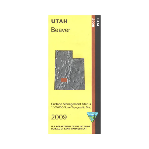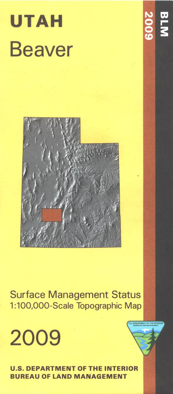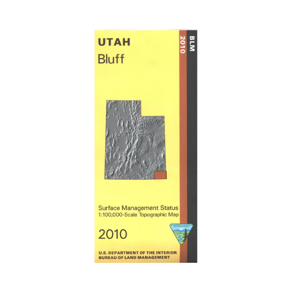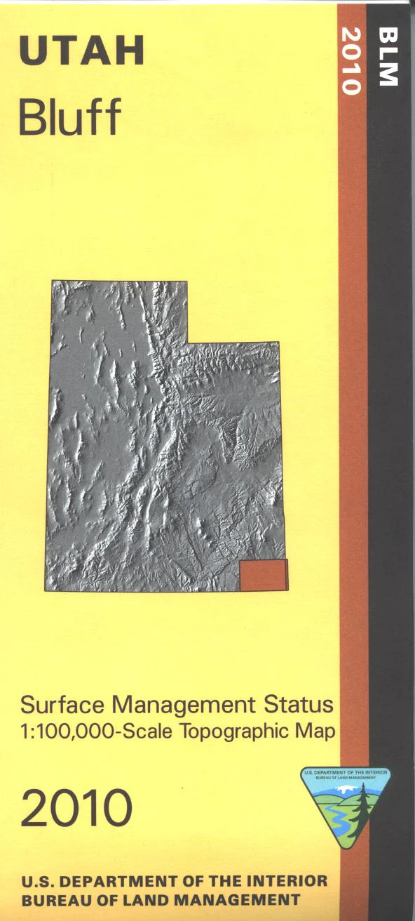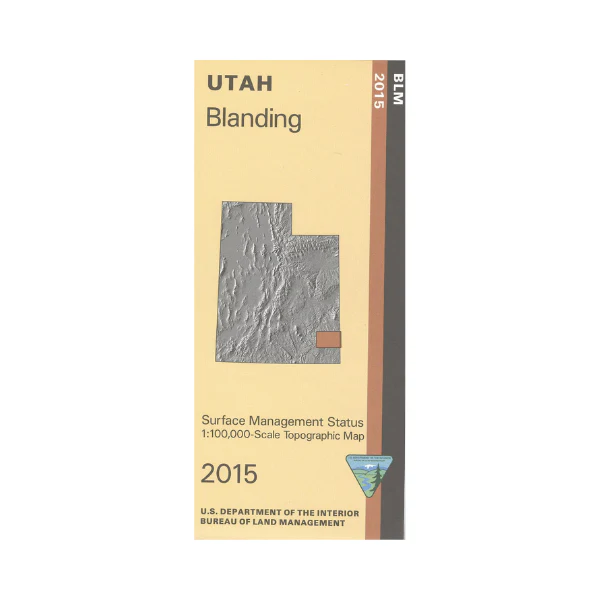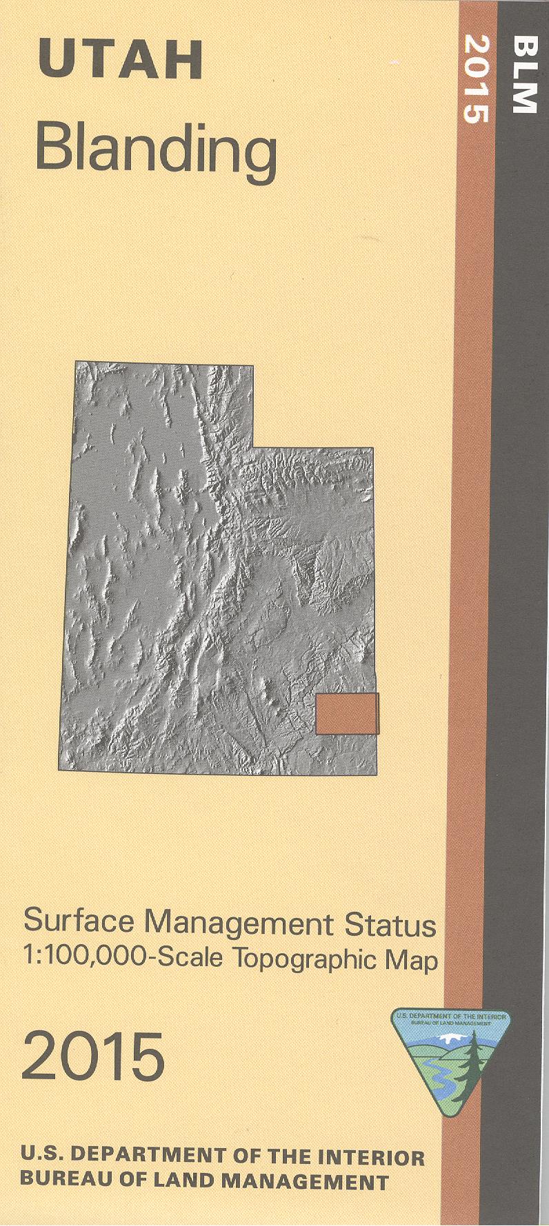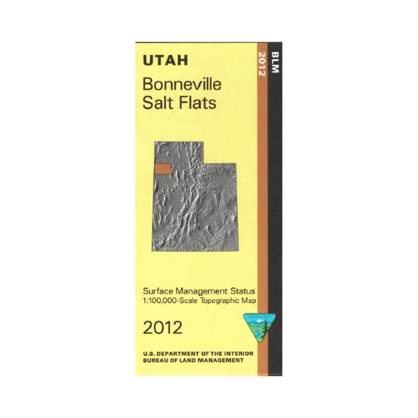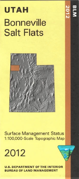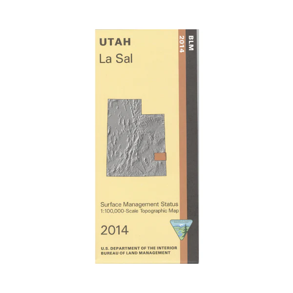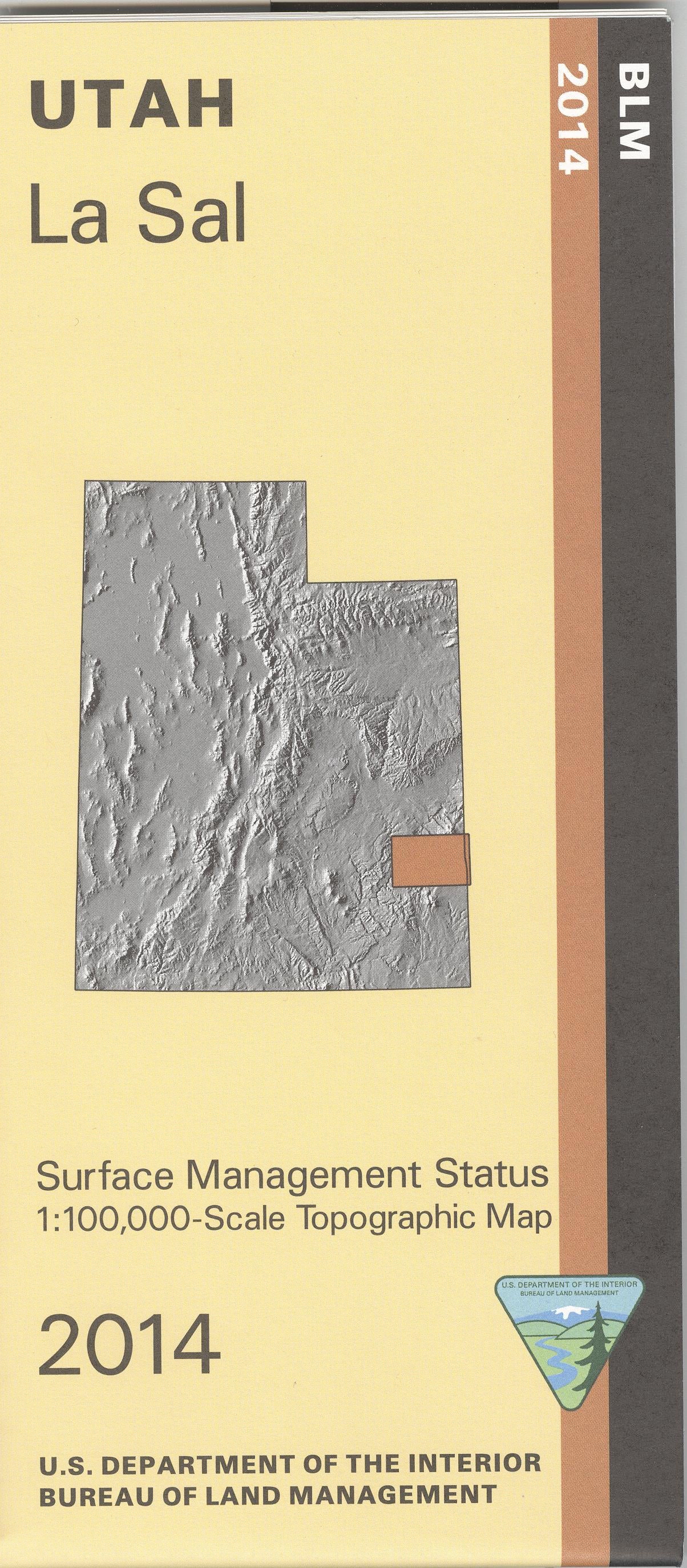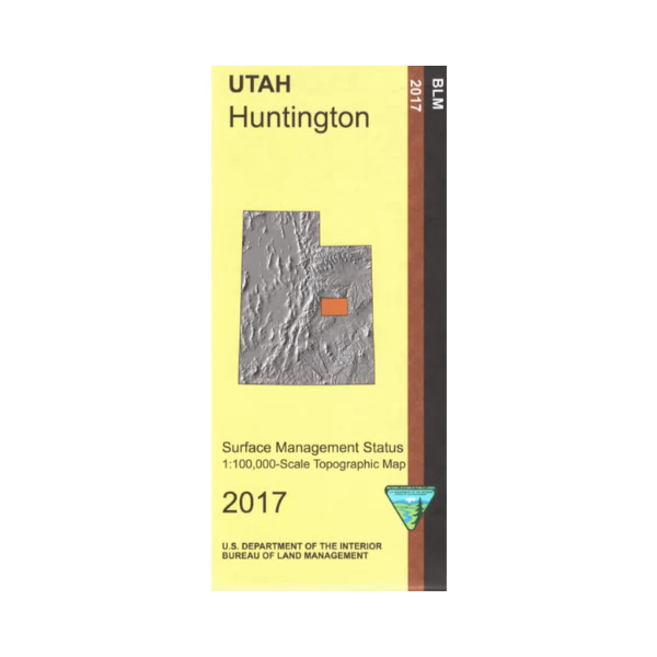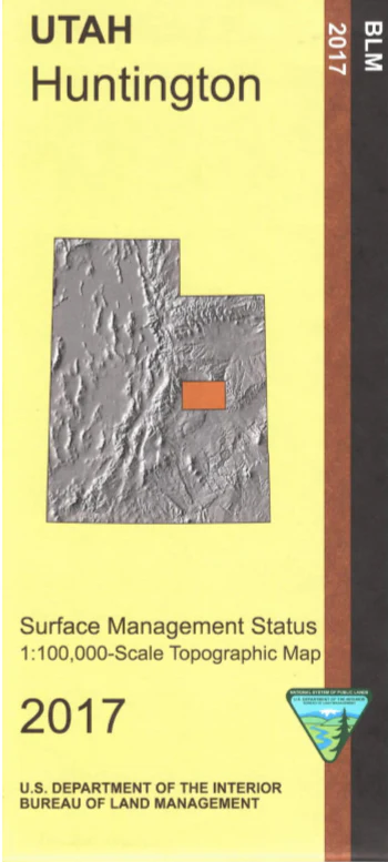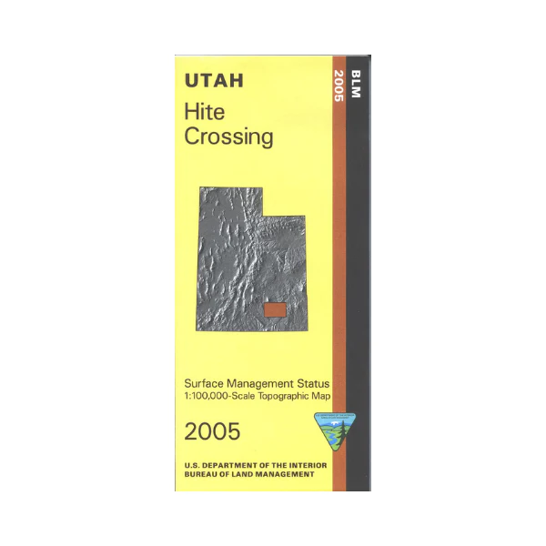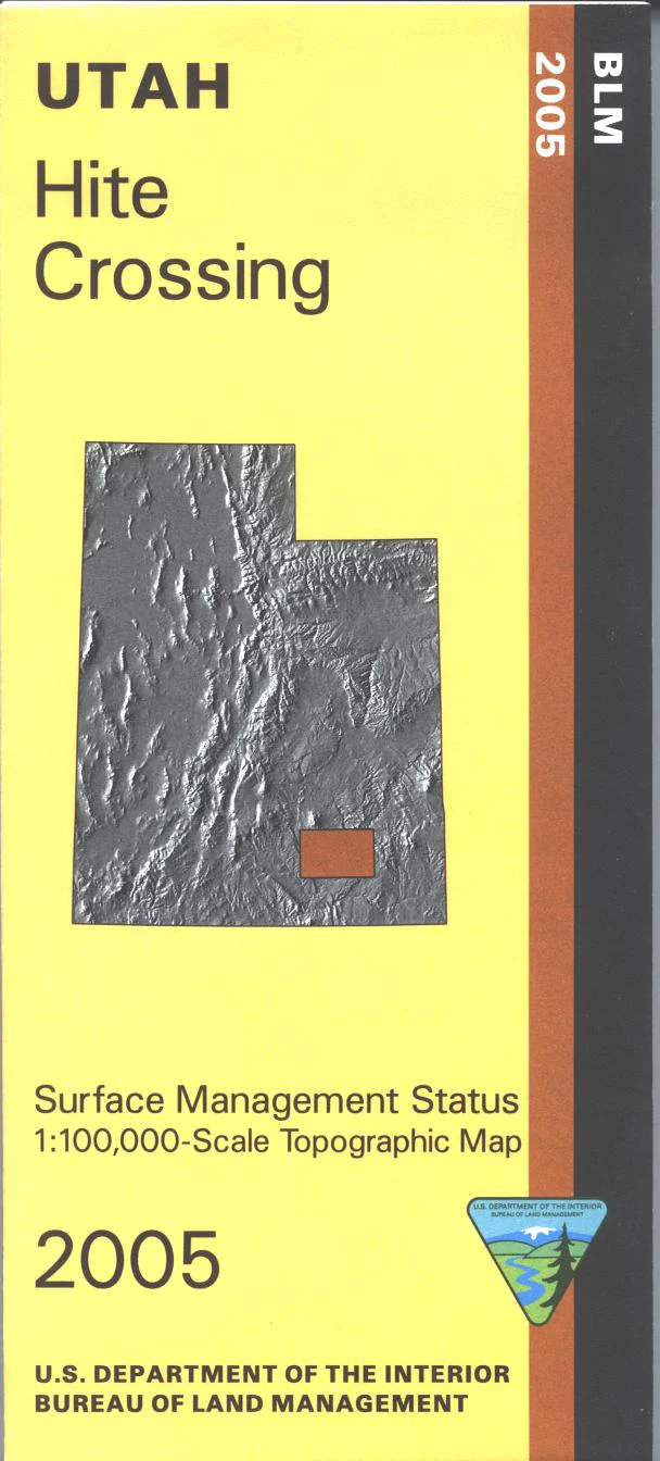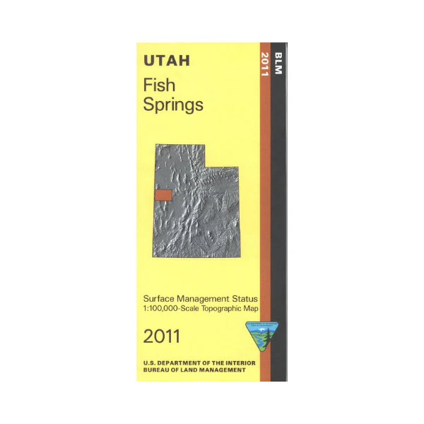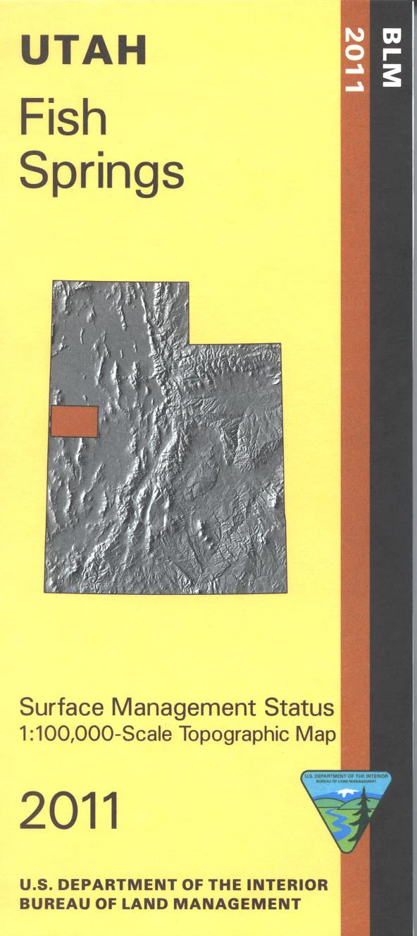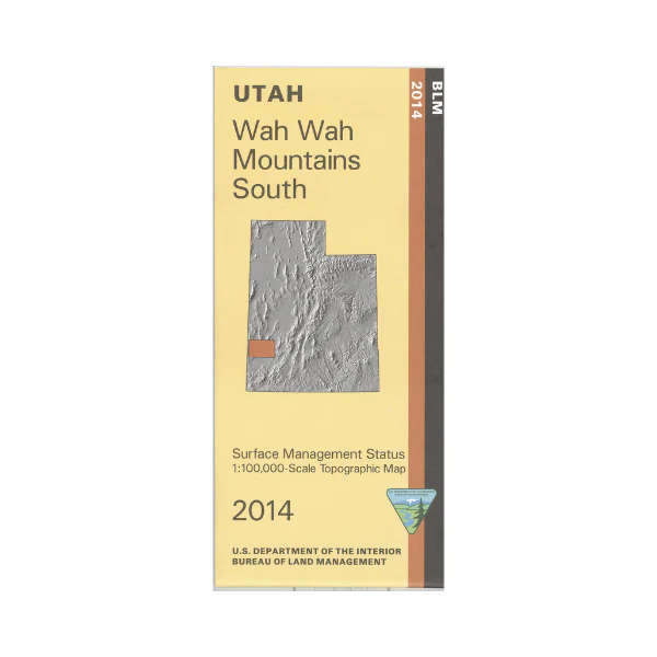
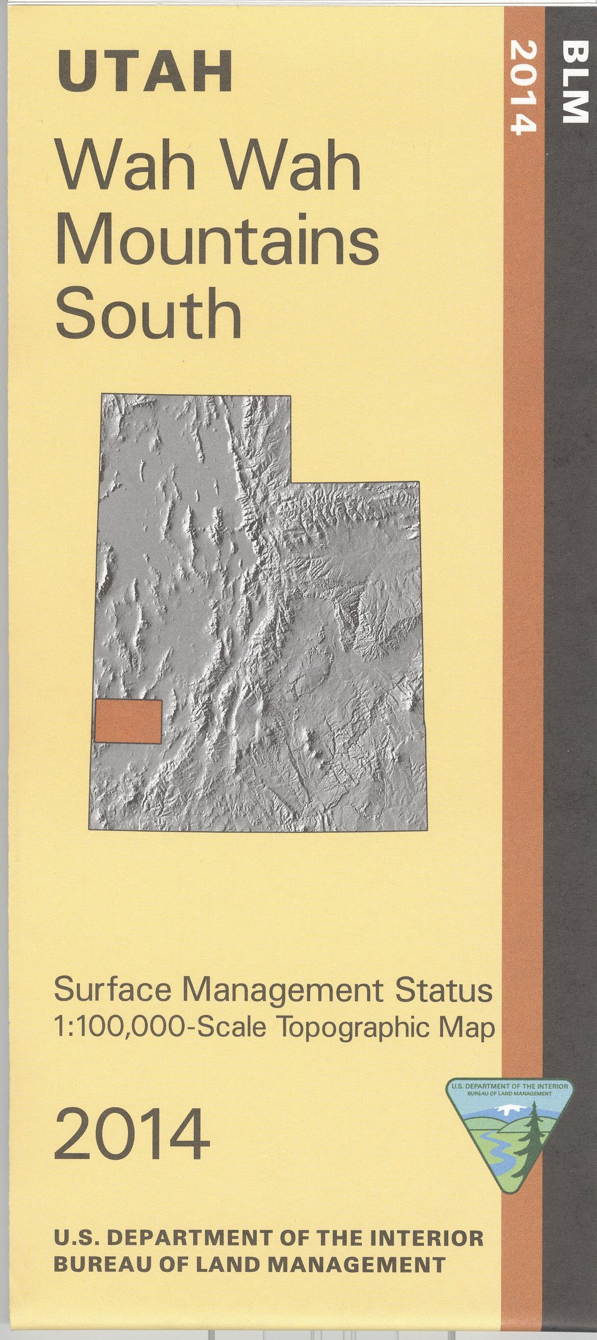
Map: Wah Wah South UT - UT144S
Map covers BLM and state lands west and south of Milford over to the Nevada border. Includes Wah Wah Mountains, Black Mountains, Indian Peak State Game Management Area, and Indian Peak Range. Explore expansive BLM lands, and some state lands in this remote scenic area. Official Bureau of Land Management metric topographic map @1:100,000 scale (roughly 3/4"`1 mile), color-coded to show Surface Management/ownership i.e. agency vs. private or tribal. Map shows roads, water features, and township and range lines. Use this map for hunting in the Southwest Desert unit. 2014
Original: $8.99
-65%$8.99
$3.15Product Information
Product Information
Shipping & Returns
Shipping & Returns
Description
Map covers BLM and state lands west and south of Milford over to the Nevada border. Includes Wah Wah Mountains, Black Mountains, Indian Peak State Game Management Area, and Indian Peak Range. Explore expansive BLM lands, and some state lands in this remote scenic area. Official Bureau of Land Management metric topographic map @1:100,000 scale (roughly 3/4"`1 mile), color-coded to show Surface Management/ownership i.e. agency vs. private or tribal. Map shows roads, water features, and township and range lines. Use this map for hunting in the Southwest Desert unit. 2014