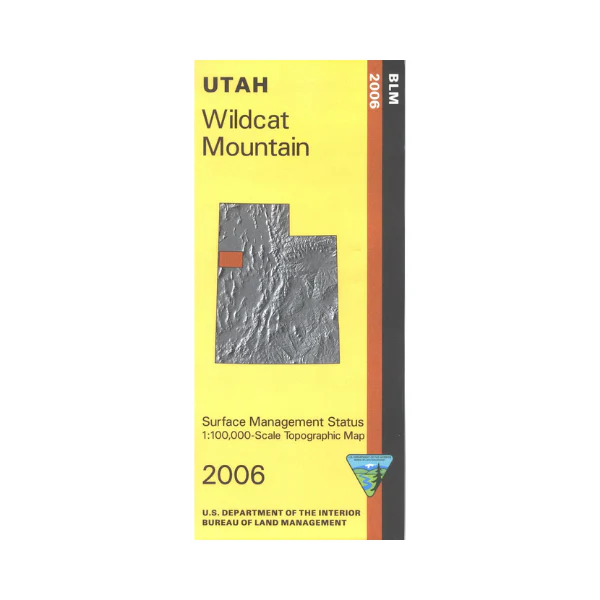
Map: Wildcat Mountain UT - UT146S
Map shows mostly the Wendover Air Force Range(includes Wildcat Mountain) with a section of BLM land surrounding Gold Hill near the Nevada border. A section of the Pony Express National Historic Trail near the Deep Creek Mountains is shown on the map. Official Bureau of Land Management metric topographic map @1:100,000 scale (roughly 3/4"`1 mile), color-coded to show Surface Management/ownership i.e. agency vs. private or tribal. Map shows roads, water features, points of interest, and township and range lines. Use this map for hunting in the West Desert hunting unit. 2006
Original: $8.99
-65%$8.99
$3.15Product Information
Product Information
Shipping & Returns
Shipping & Returns
Description
Map shows mostly the Wendover Air Force Range(includes Wildcat Mountain) with a section of BLM land surrounding Gold Hill near the Nevada border. A section of the Pony Express National Historic Trail near the Deep Creek Mountains is shown on the map. Official Bureau of Land Management metric topographic map @1:100,000 scale (roughly 3/4"`1 mile), color-coded to show Surface Management/ownership i.e. agency vs. private or tribal. Map shows roads, water features, points of interest, and township and range lines. Use this map for hunting in the West Desert hunting unit. 2006