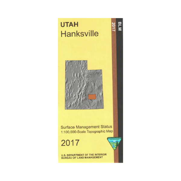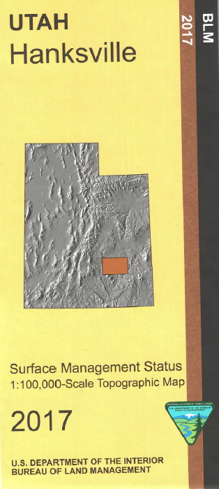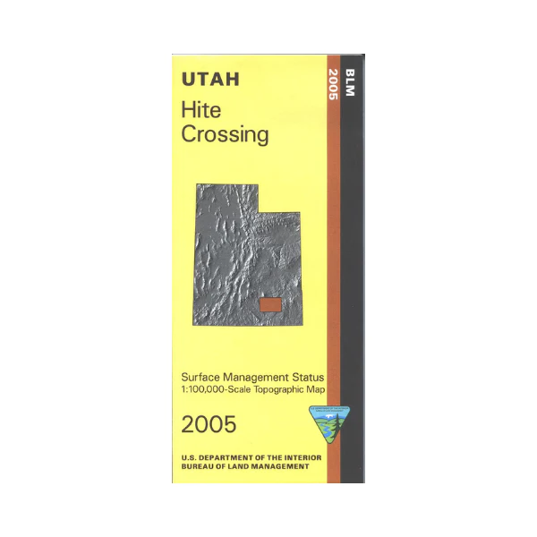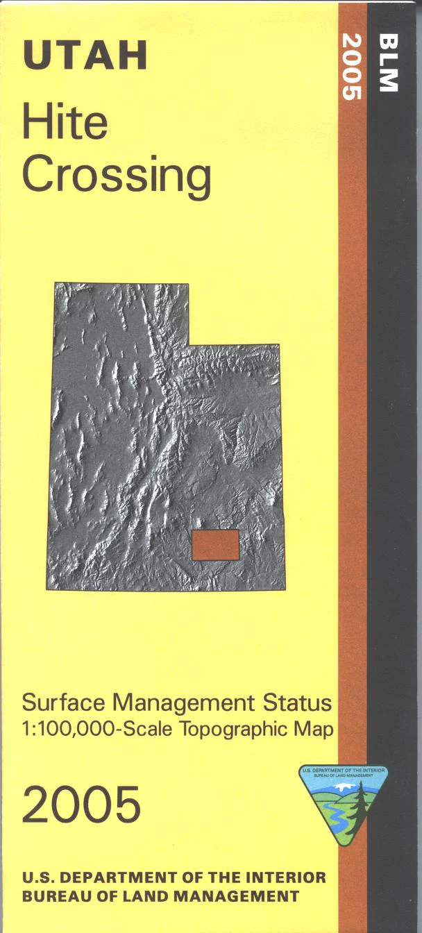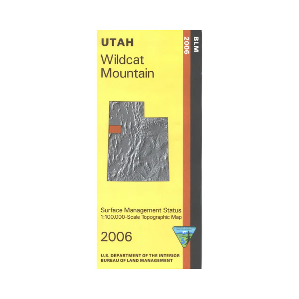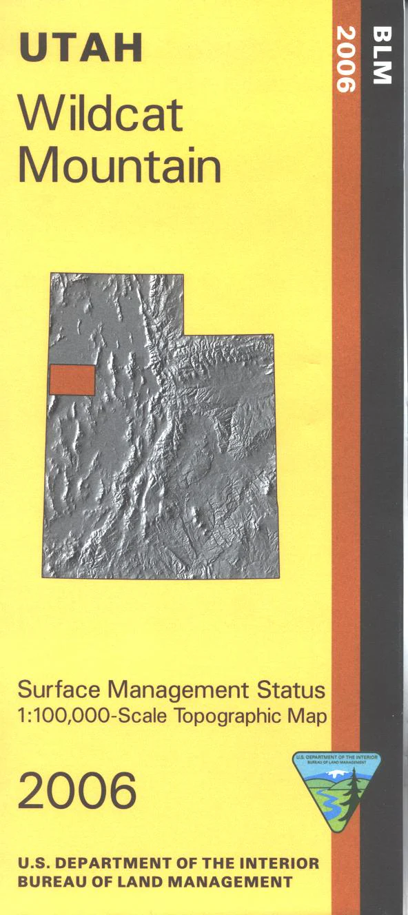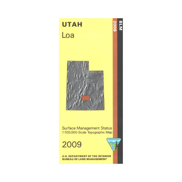
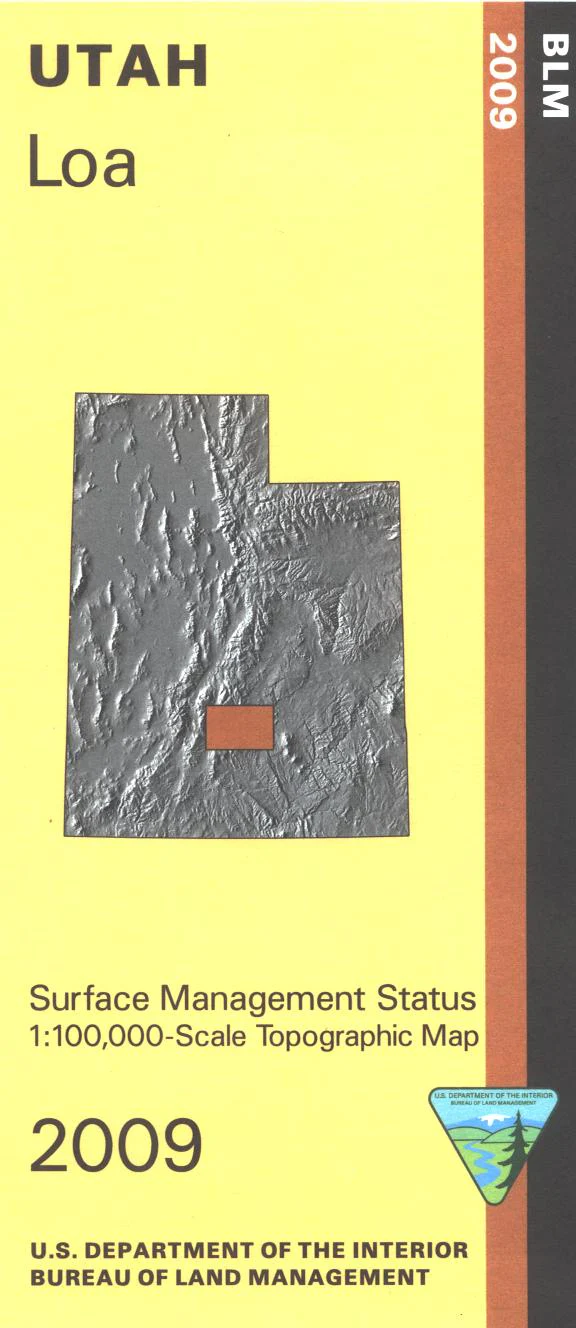
Map: Loa UT - UT118S
Map shows Capital Reef National Park, adjacent BLM land, adjacent Fishlake and Dixie National Forest lands, and Awapa Plateau state land. Explore the forests on the Great Western Trail, or on the scenic byways with opportunities for camping, scenic viewing, hiking, and wildlife viewing. Official Bureau of Land Management metric topographic map @1:100,000 scale (roughly 3/4"`1 mile), color-coded to show Surface Management/ownership i.e. public vs private or tribal. Map shows roads, trails, recreation sites, water features, points of interest, and township and range lines. Use this map for hunting in the Monroe and Plateau hunting units. 2009
Product Information
Product Information
Shipping & Returns
Shipping & Returns
Description
Map shows Capital Reef National Park, adjacent BLM land, adjacent Fishlake and Dixie National Forest lands, and Awapa Plateau state land. Explore the forests on the Great Western Trail, or on the scenic byways with opportunities for camping, scenic viewing, hiking, and wildlife viewing. Official Bureau of Land Management metric topographic map @1:100,000 scale (roughly 3/4"`1 mile), color-coded to show Surface Management/ownership i.e. public vs private or tribal. Map shows roads, trails, recreation sites, water features, points of interest, and township and range lines. Use this map for hunting in the Monroe and Plateau hunting units. 2009