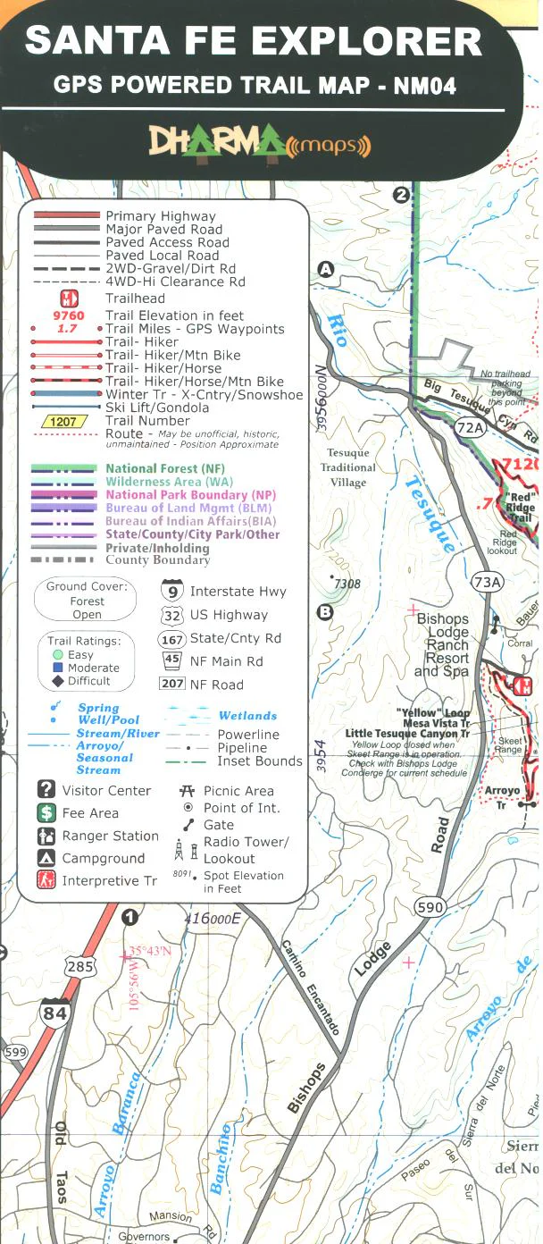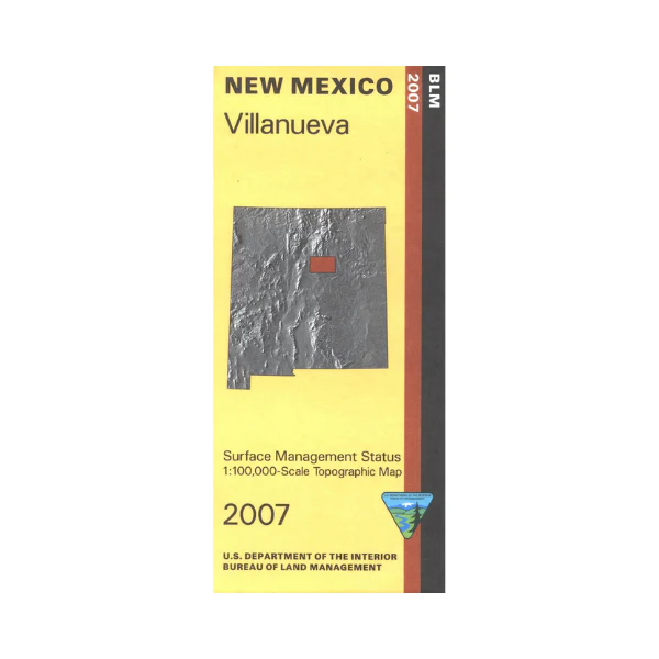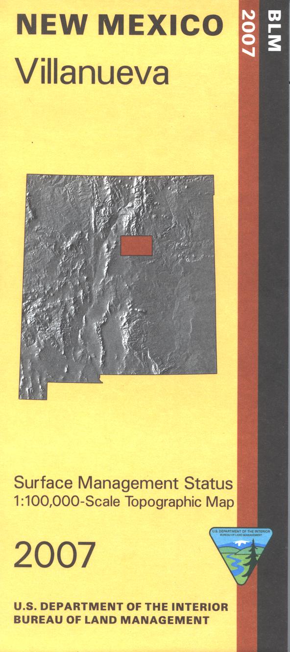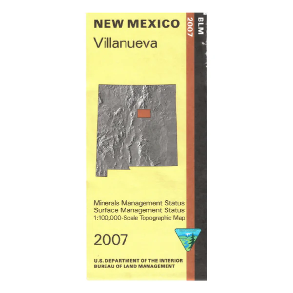
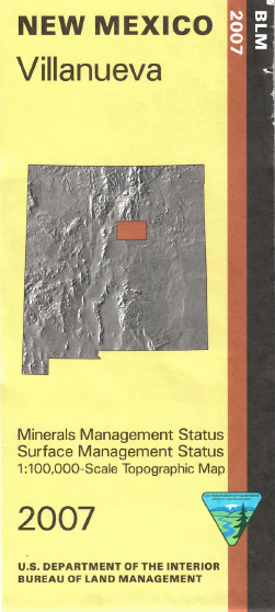
Map: Villanueva NM (Mineral)
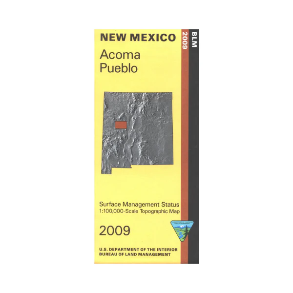
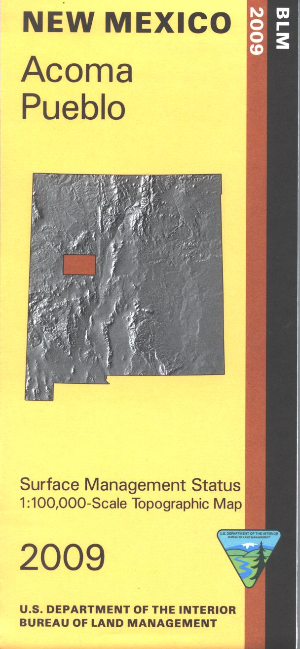
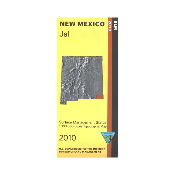
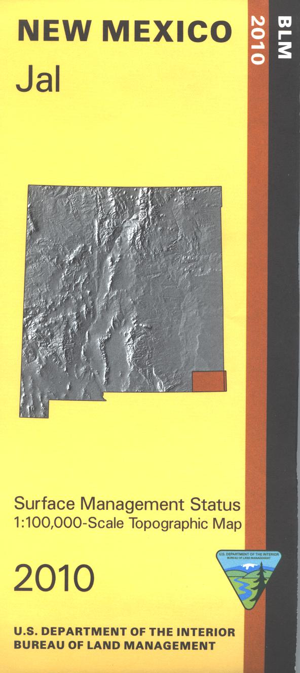
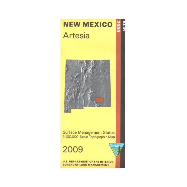
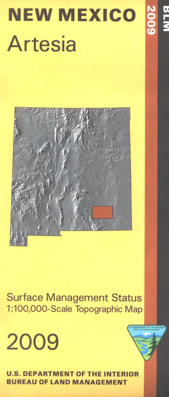
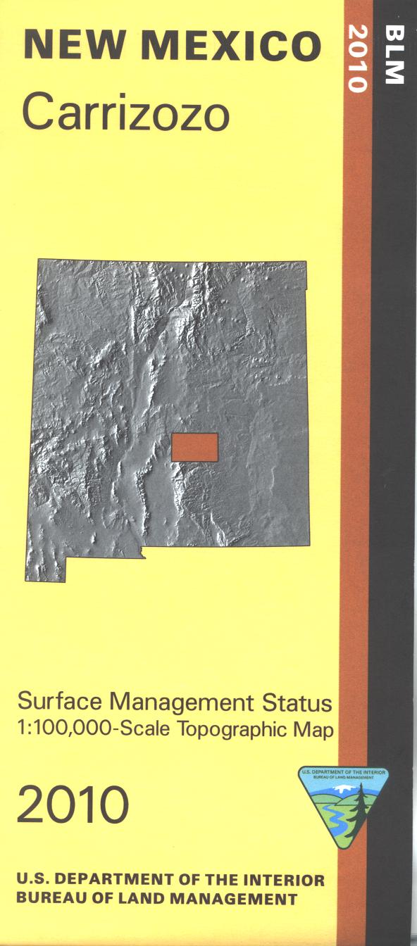
Official Bureau of Land Management topographic maps @1:100,000 metric scale (roughly 3/4" = 1 mile), are color-coded to show federally-managed public lands; plus state, private, or tribal lands, military withdrawals, roads and trails, lakes, rivers and streams, and developed recreation areas.
This is a Mineral Management map with an additional layer showing below-surface mineral rights. Includes roads and lands in the Galisteo Basin, San Miguel, Santa Fe, Guadalupe and Torrance Counties and southeastern portions of Santa Fe National Forest. 2007
Original: $8.99
-65%$8.99
$3.15Product Information
Product Information
Shipping & Returns
Shipping & Returns
Description
Official Bureau of Land Management topographic maps @1:100,000 metric scale (roughly 3/4" = 1 mile), are color-coded to show federally-managed public lands; plus state, private, or tribal lands, military withdrawals, roads and trails, lakes, rivers and streams, and developed recreation areas.
This is a Mineral Management map with an additional layer showing below-surface mineral rights. Includes roads and lands in the Galisteo Basin, San Miguel, Santa Fe, Guadalupe and Torrance Counties and southeastern portions of Santa Fe National Forest. 2007