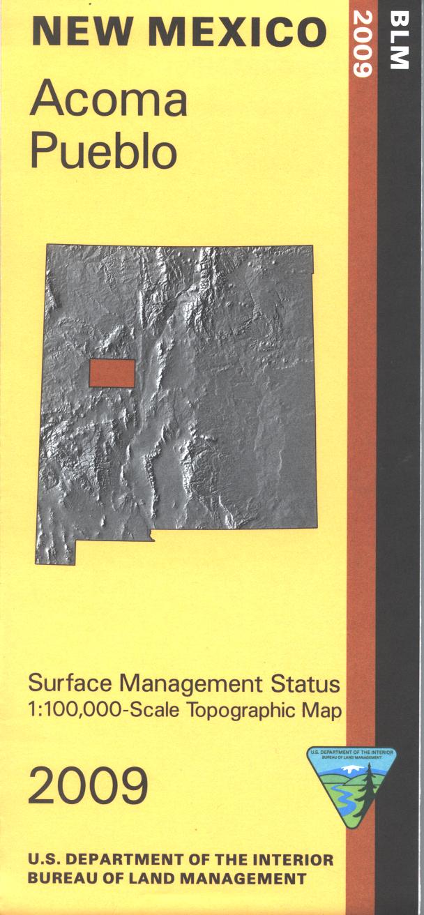
Map: Acoma Pueblo NM - NM002S
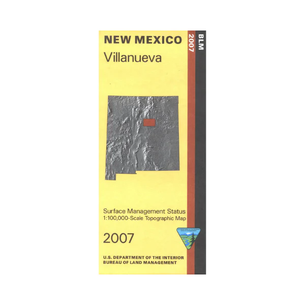
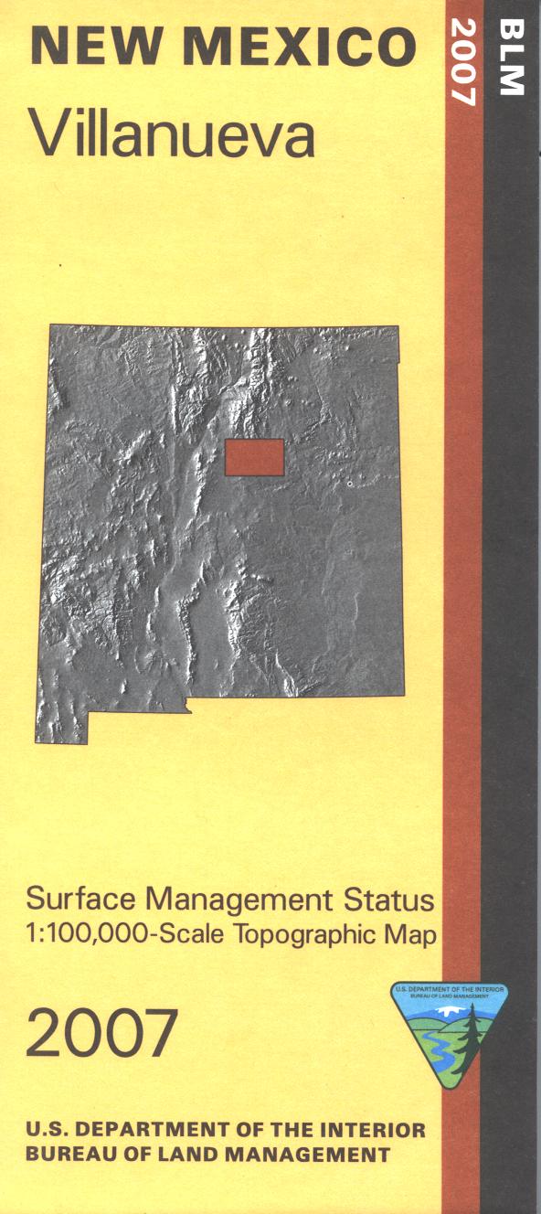
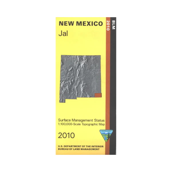
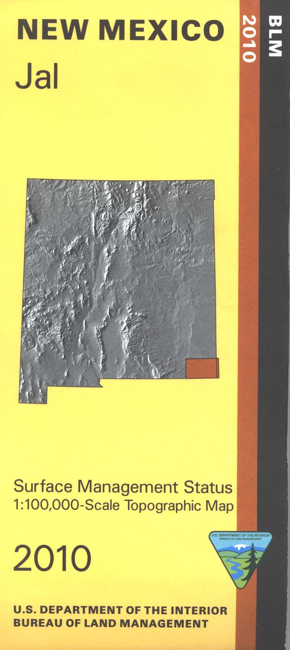
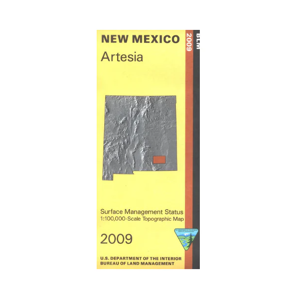
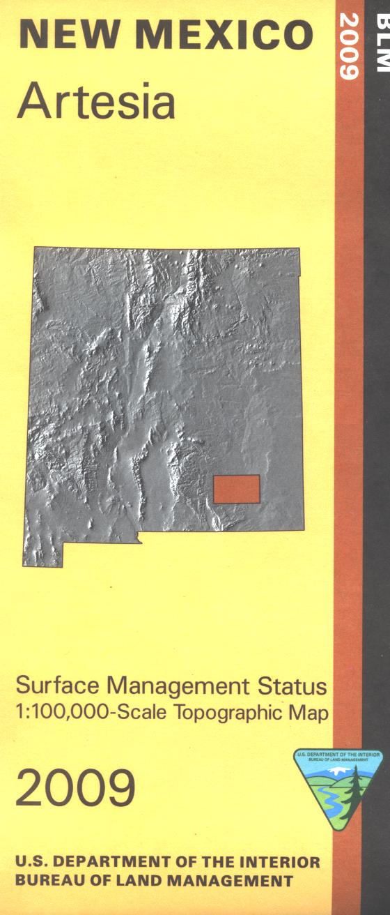
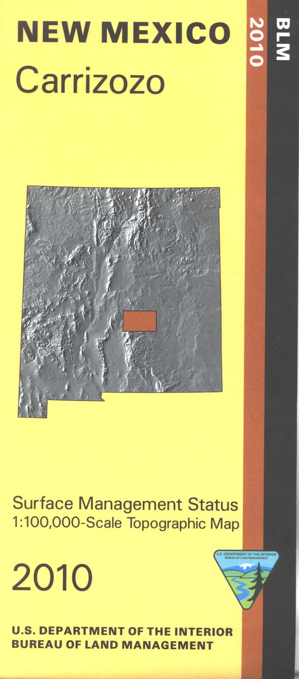
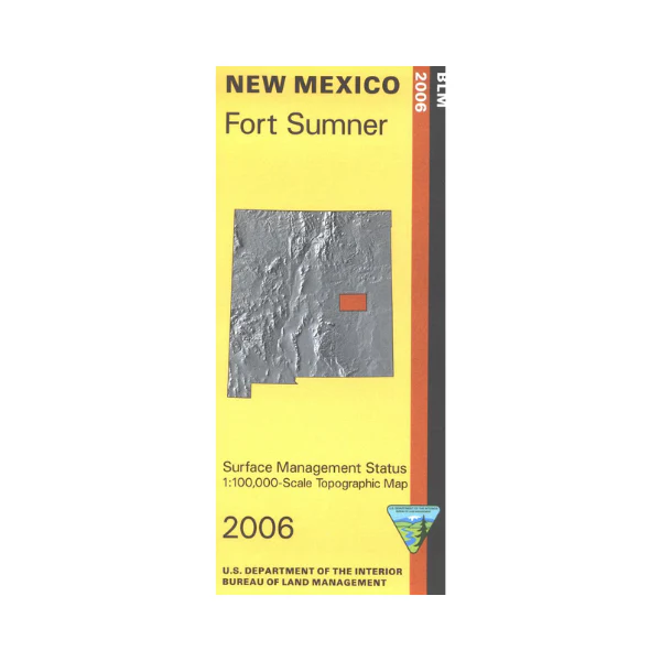
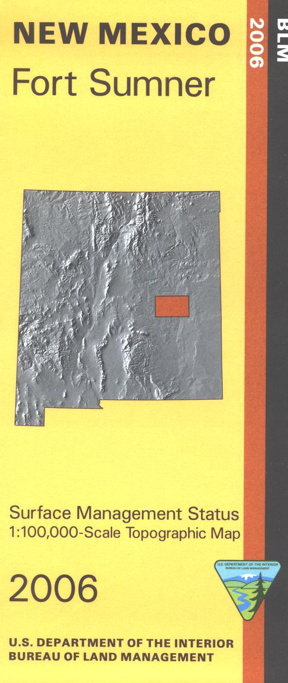
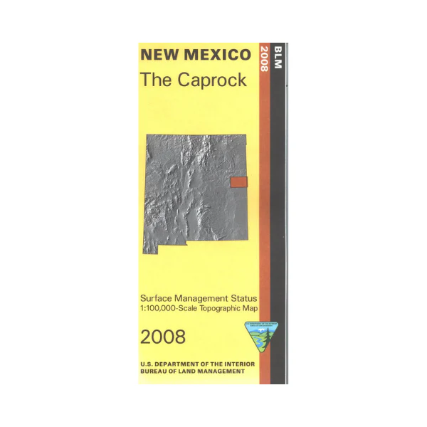
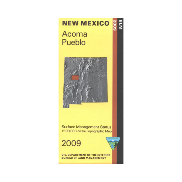
Official Bureau of Land Management topographic maps @1:100,000 metric scale (roughly 3/4" = 1 mile), are color coded to show military withdrawals, private, state, and federally-managed lands, roads and trails, rivers, streams, and developed recreation areas. It is a great map to have while stalking game in Hunting Units 13, 9, 10, wildlife watching (as long as you're not on the Acoma Pueblo lands shown in a vivid orange), hiking or backpacking in El Malpais National Monument or the Cebolla Wilderness, mountain biking, camping, or OHV and ATV riding. Includes roads and lands in Cibola, Socorro and Catron Counties. 2009
Original: $8.99
-65%$8.99
$3.15Product Information
Product Information
Shipping & Returns
Shipping & Returns
Description
Official Bureau of Land Management topographic maps @1:100,000 metric scale (roughly 3/4" = 1 mile), are color coded to show military withdrawals, private, state, and federally-managed lands, roads and trails, rivers, streams, and developed recreation areas. It is a great map to have while stalking game in Hunting Units 13, 9, 10, wildlife watching (as long as you're not on the Acoma Pueblo lands shown in a vivid orange), hiking or backpacking in El Malpais National Monument or the Cebolla Wilderness, mountain biking, camping, or OHV and ATV riding. Includes roads and lands in Cibola, Socorro and Catron Counties. 2009