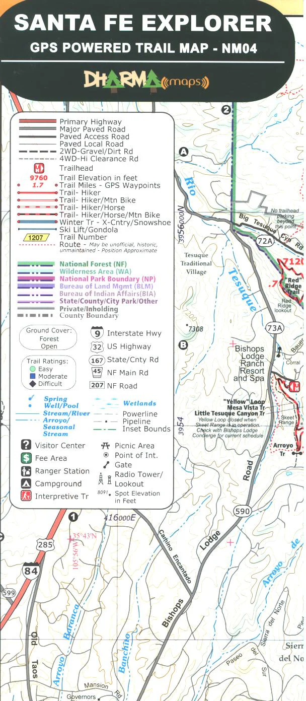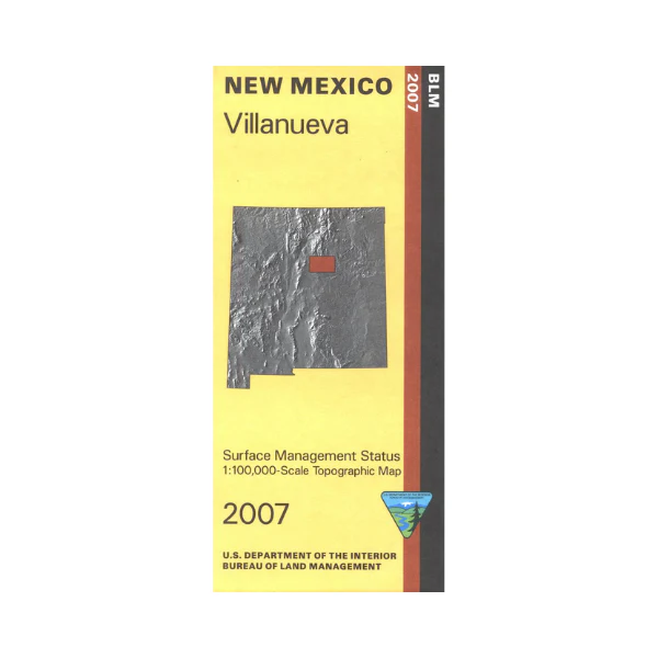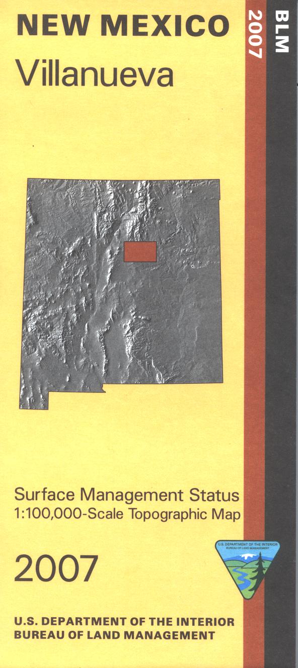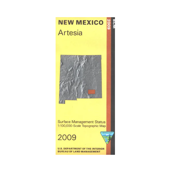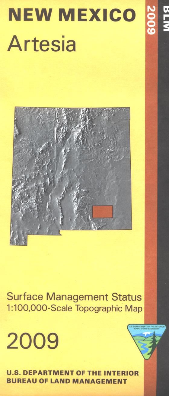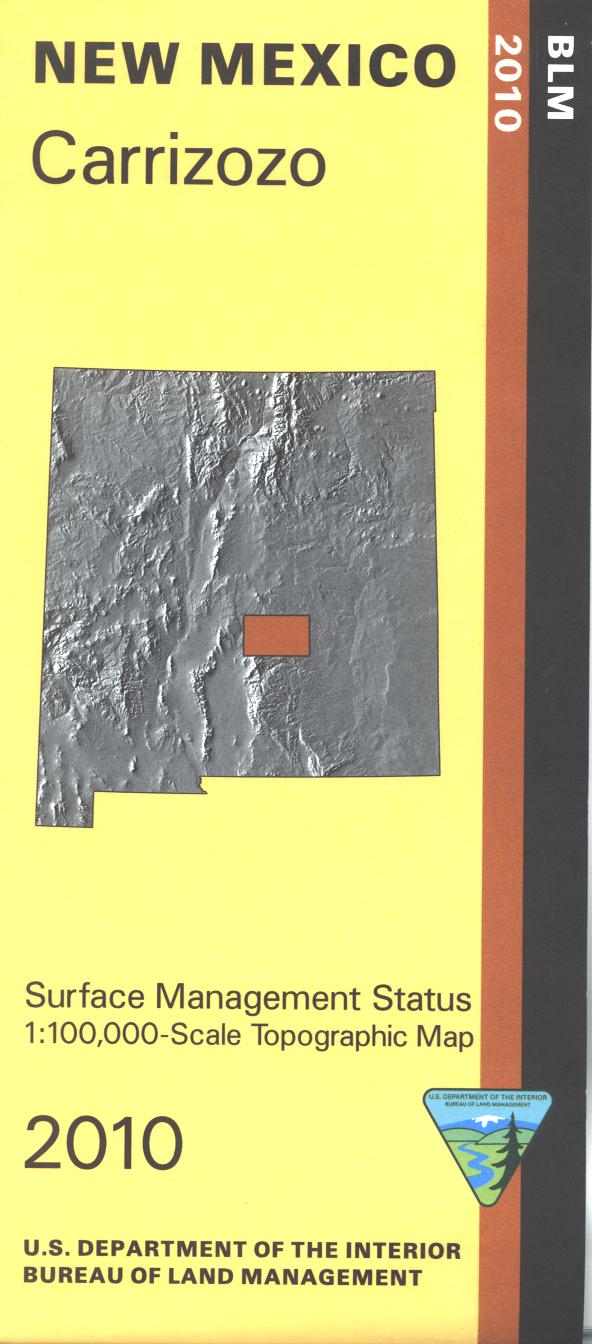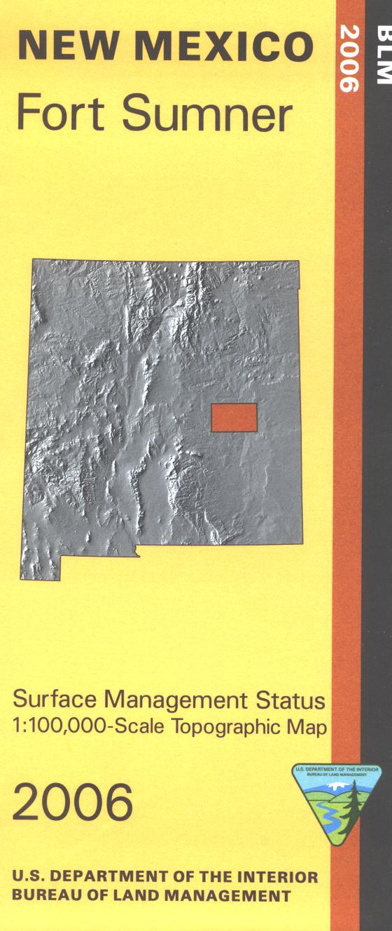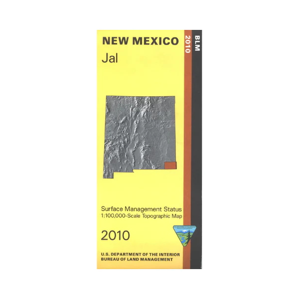
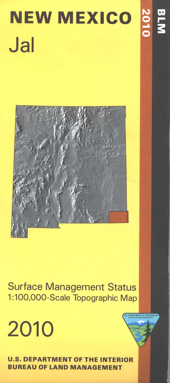
Map: Jal NM - NM032S
Official Bureau of Land Management metric topographic map @1:100,000 scale (roughly 3/4"=1 mile), color-coded to show Surface Management/ownership. Hunting, camping, hiking, and OHV use where permitted. Includes the WIPP Site. Includes roads and lands in Lea and Eddy Counties; Hunting Unit 31. 2010
$8.99
Map: Jal NM - NM032S—
$8.99
Product Information
Product Information
Shipping & Returns
Shipping & Returns
Description
Official Bureau of Land Management metric topographic map @1:100,000 scale (roughly 3/4"=1 mile), color-coded to show Surface Management/ownership. Hunting, camping, hiking, and OHV use where permitted. Includes the WIPP Site. Includes roads and lands in Lea and Eddy Counties; Hunting Unit 31. 2010