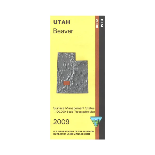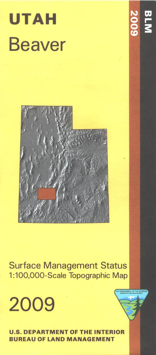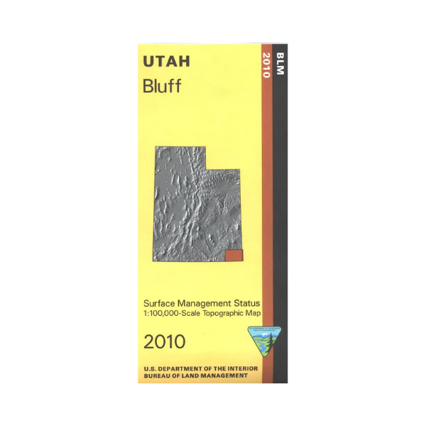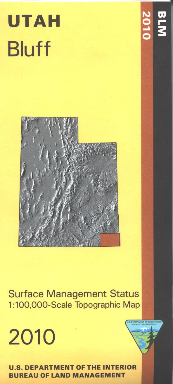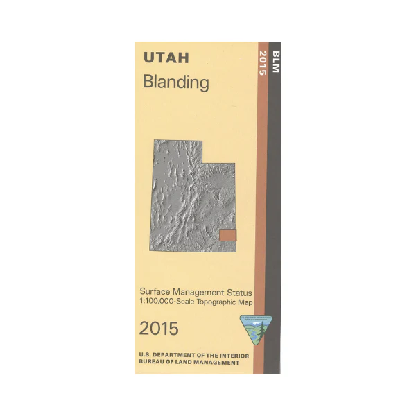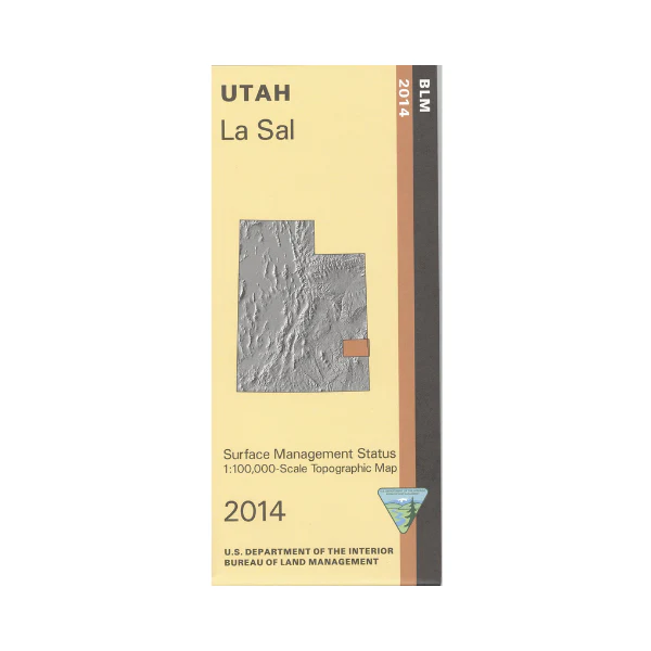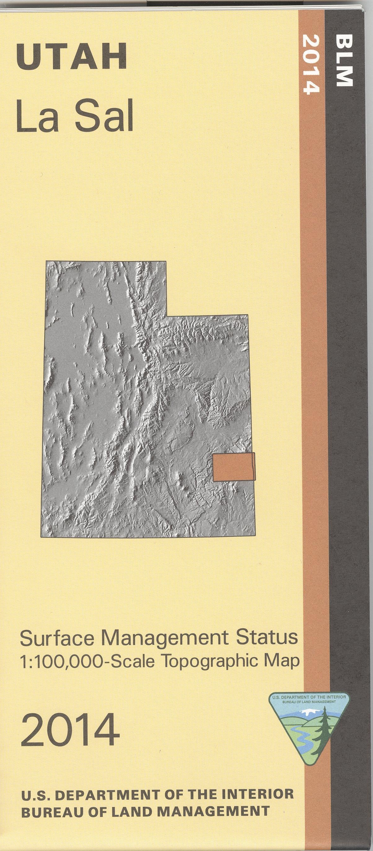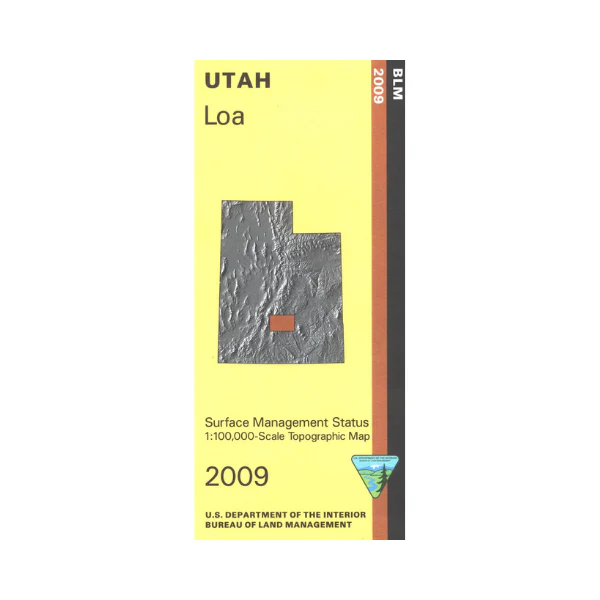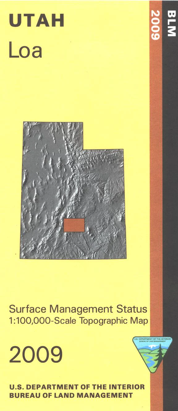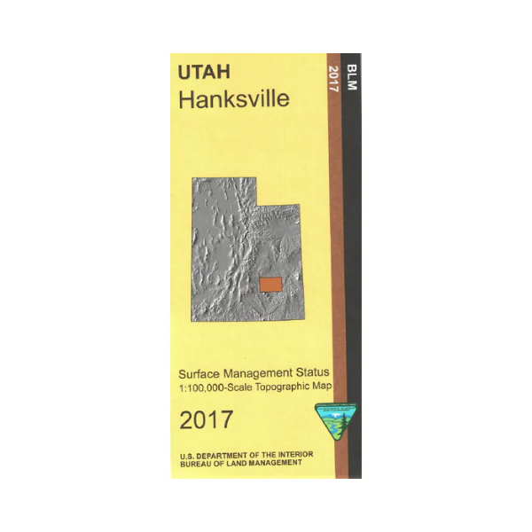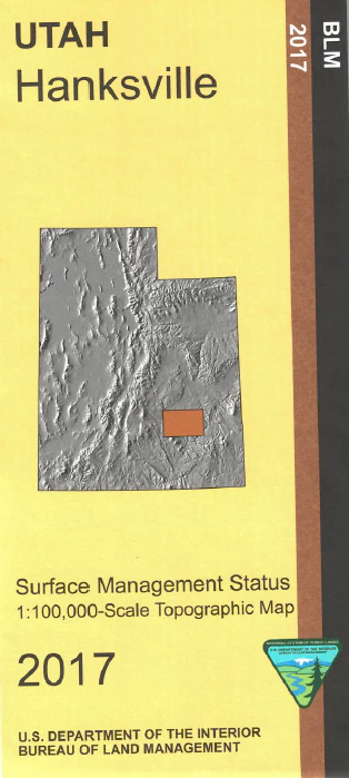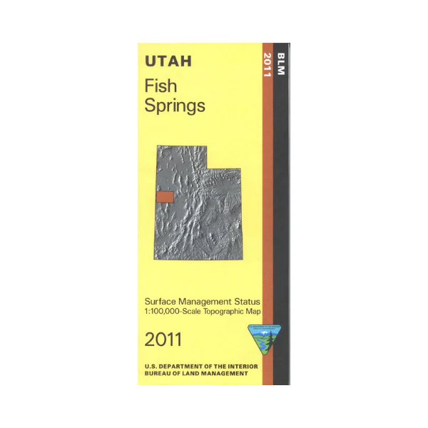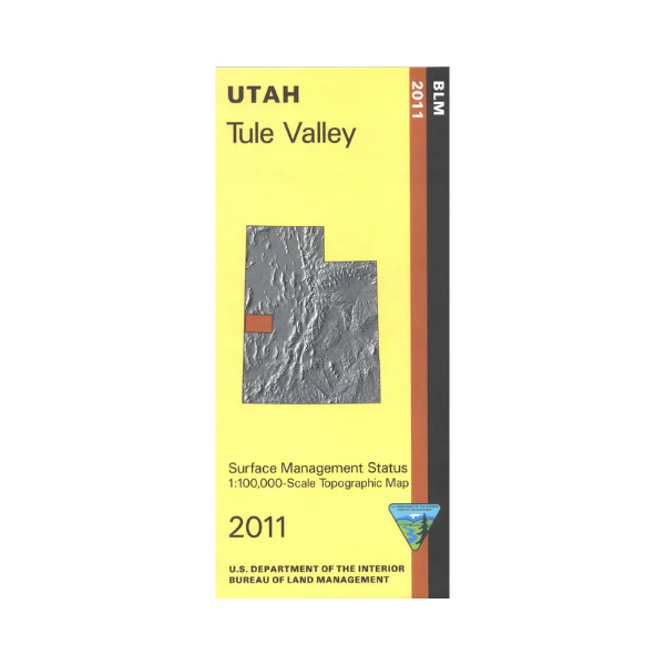
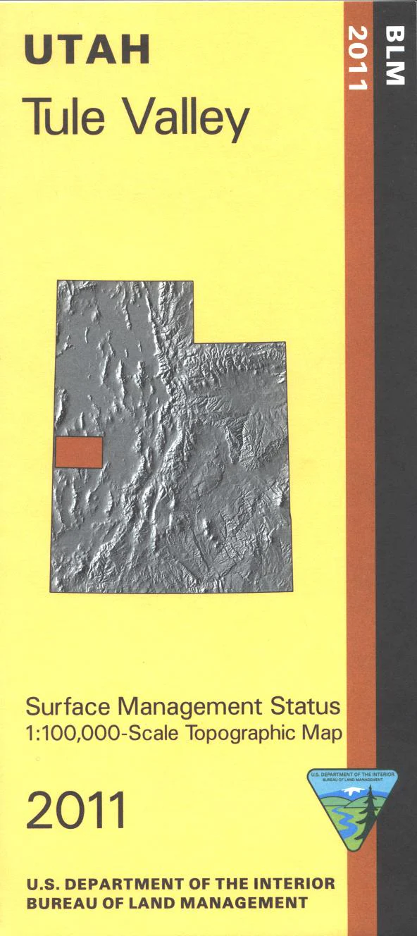
Map: Tule Valley UT - UT141S
Map shows remote BLM lands from Nevada border east to Sevier Desert mostly north of Hwy 50. Explore the Snake Valley, Confusion Range, Tule Valley House Range, and Whirlwind Valley. Official Bureau of Land Management metric topographic map @1:100,000 scale (roughly 3/4"`1 mile), color-coded to show Surface Management/ownership i.e. agency vs. private or tribal. Map shows roads, water features, and township and range lines. Use this map to hunt in Southwest Desert and West Desert units. 2011
Product Information
Product Information
Shipping & Returns
Shipping & Returns
Description
Map shows remote BLM lands from Nevada border east to Sevier Desert mostly north of Hwy 50. Explore the Snake Valley, Confusion Range, Tule Valley House Range, and Whirlwind Valley. Official Bureau of Land Management metric topographic map @1:100,000 scale (roughly 3/4"`1 mile), color-coded to show Surface Management/ownership i.e. agency vs. private or tribal. Map shows roads, water features, and township and range lines. Use this map to hunt in Southwest Desert and West Desert units. 2011