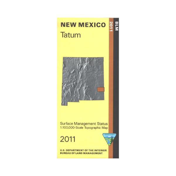
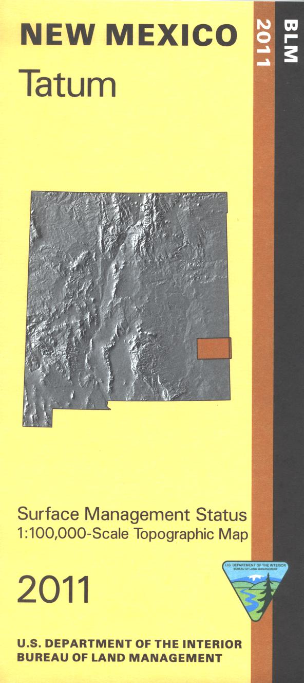
Map: Tatum NM - NM054S
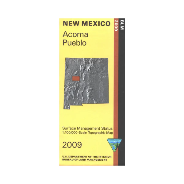
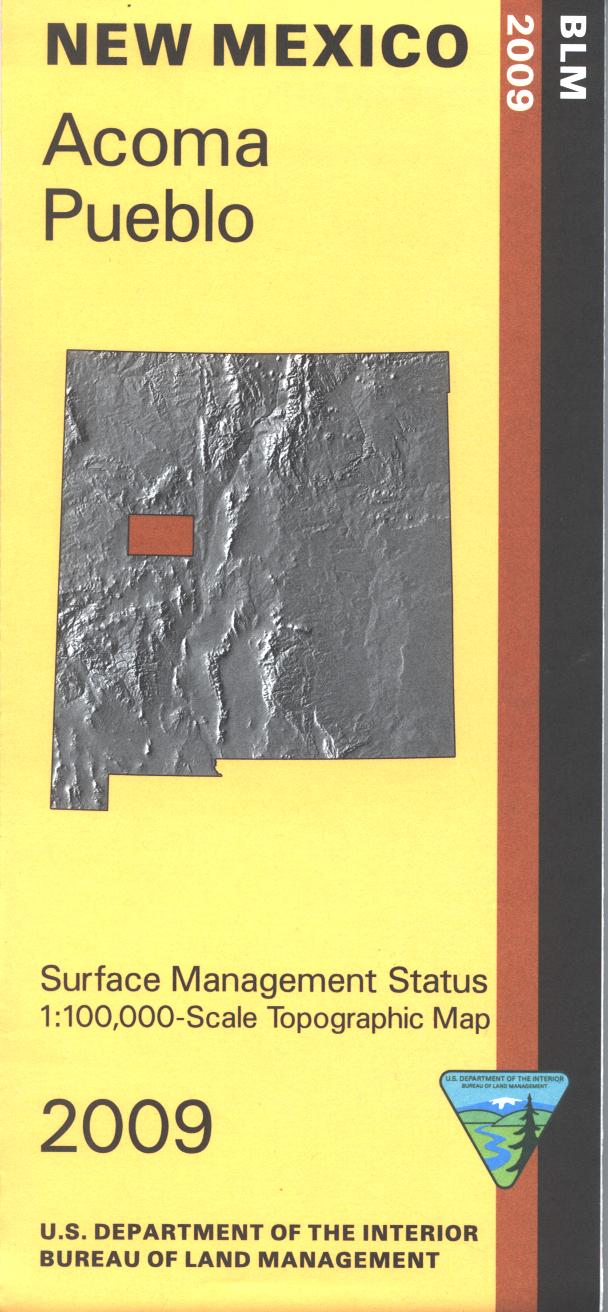
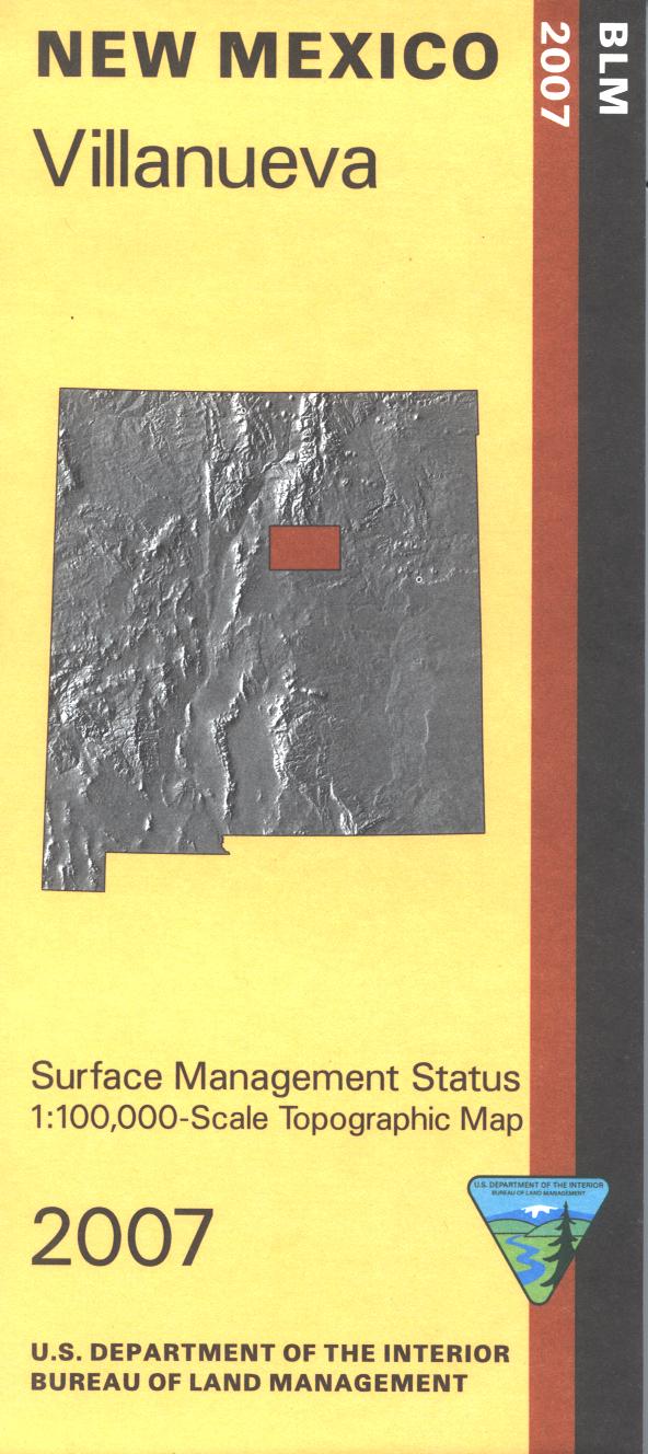
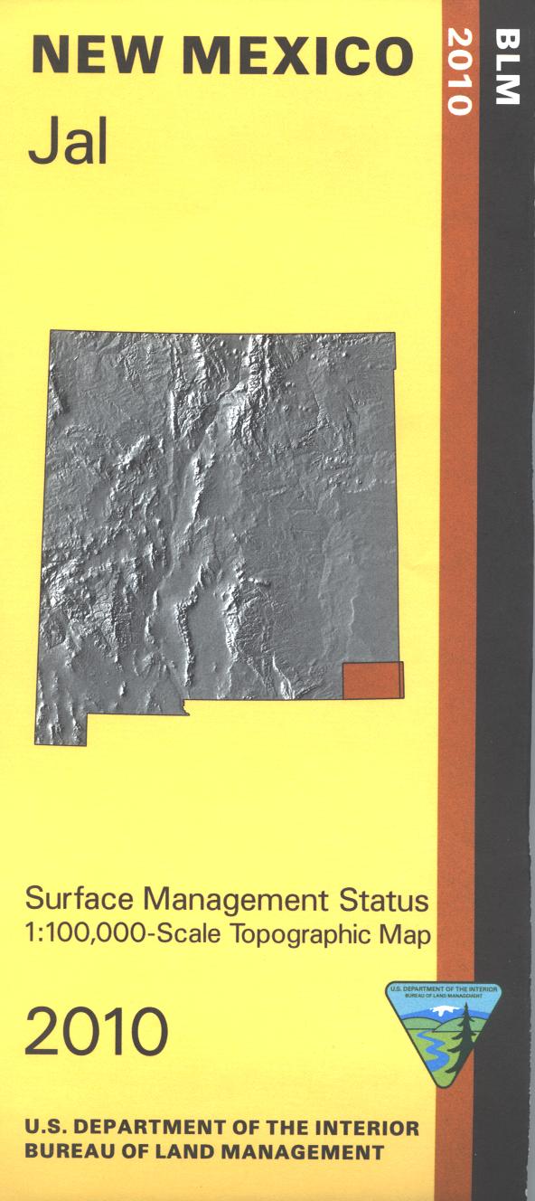
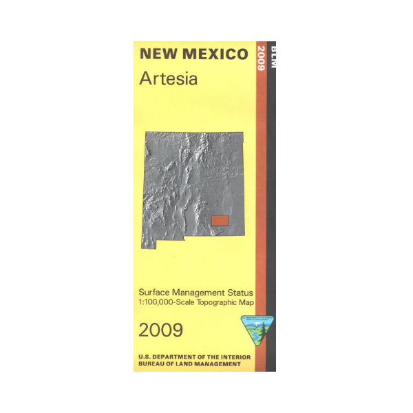
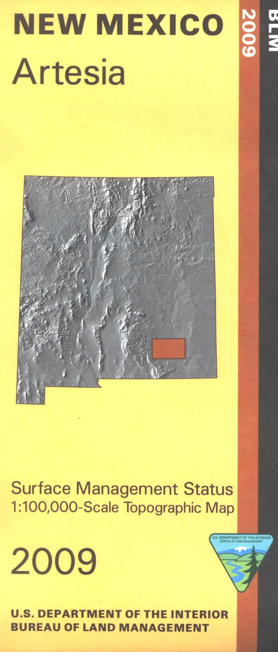
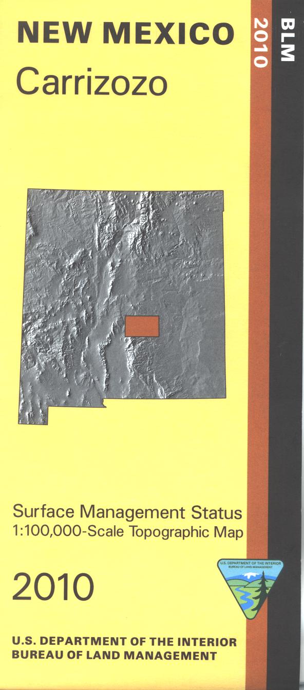
Official Bureau of Land Management topographic maps @1:100,000 metric scale (roughly 3/4" = 1 mile), are color-coded to show federally-managed public lands; plus state, private, or tribal lands, military withdrawals, roads and trails, lakes, rivers and streams, and developed recreation areas. This is a great map to have while stalking game in Hunting Units 31, 33, wildlife watching, hiking, backpacking, mountain biking, camping, or OHV and ATV riding at Mescalero Sands Off Highway Vehicle Area. Includes Lesser Prairie Chicken Habitat area. Includes roads and lands in Chavez and Lea Counties. 2011
Product Information
Product Information
Shipping & Returns
Shipping & Returns
Description
Official Bureau of Land Management topographic maps @1:100,000 metric scale (roughly 3/4" = 1 mile), are color-coded to show federally-managed public lands; plus state, private, or tribal lands, military withdrawals, roads and trails, lakes, rivers and streams, and developed recreation areas. This is a great map to have while stalking game in Hunting Units 31, 33, wildlife watching, hiking, backpacking, mountain biking, camping, or OHV and ATV riding at Mescalero Sands Off Highway Vehicle Area. Includes Lesser Prairie Chicken Habitat area. Includes roads and lands in Chavez and Lea Counties. 2011