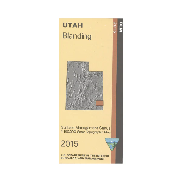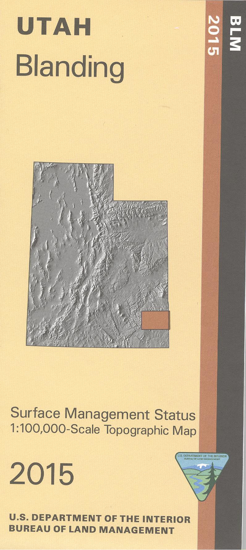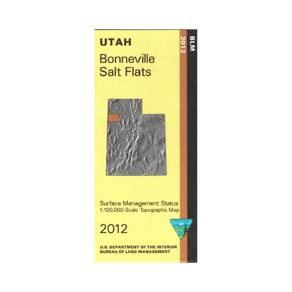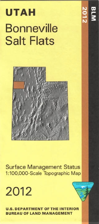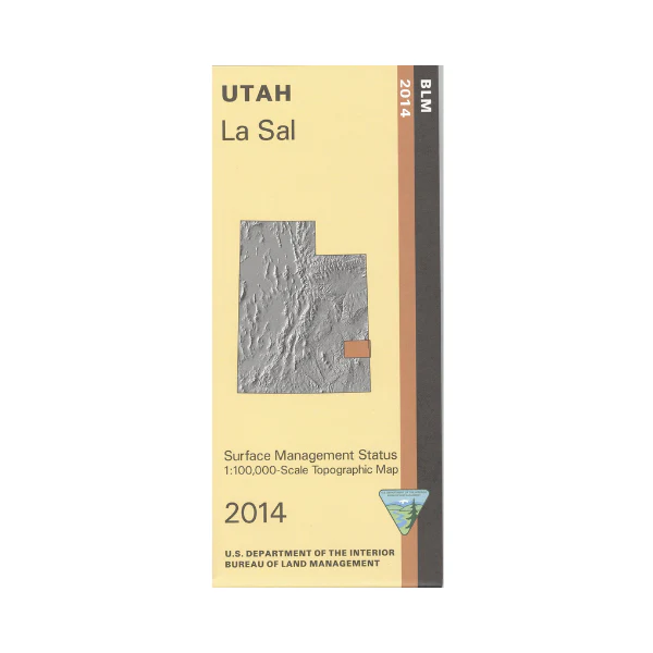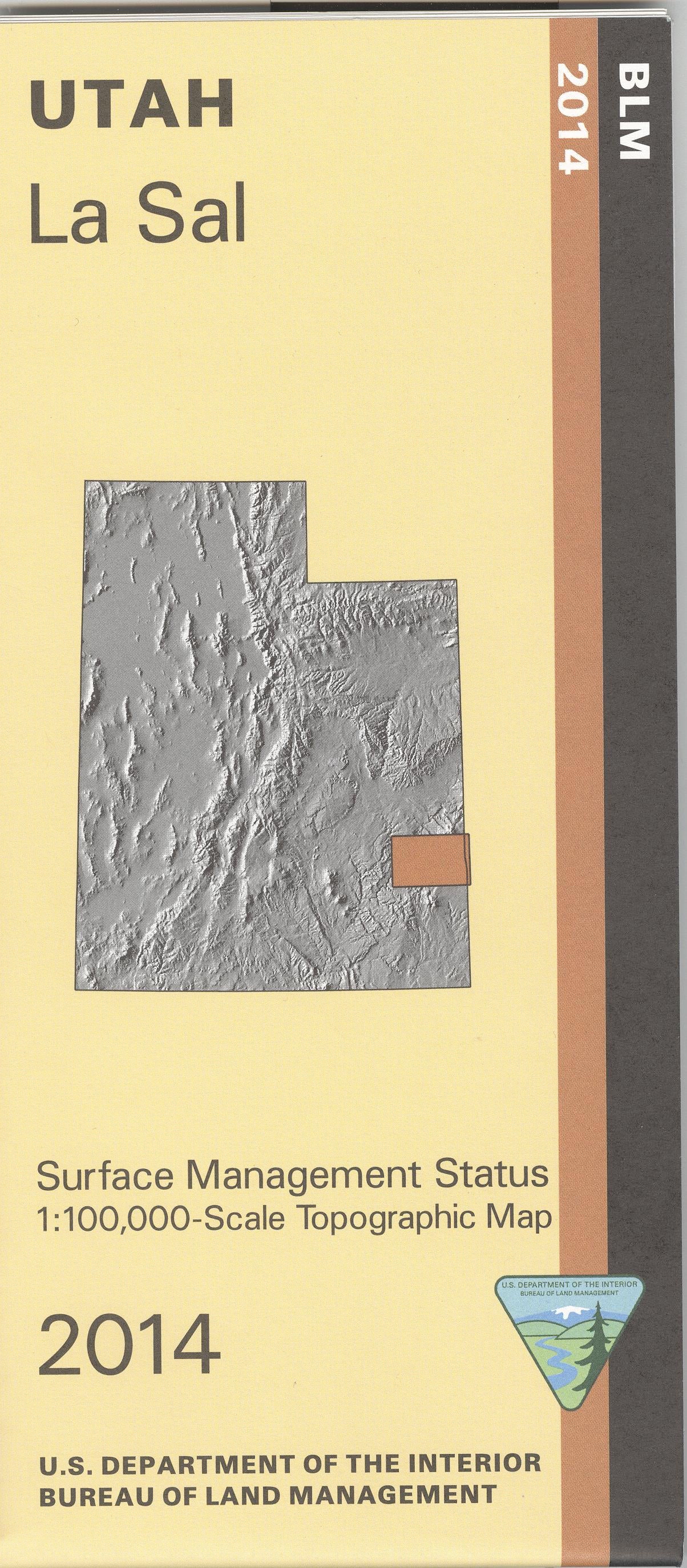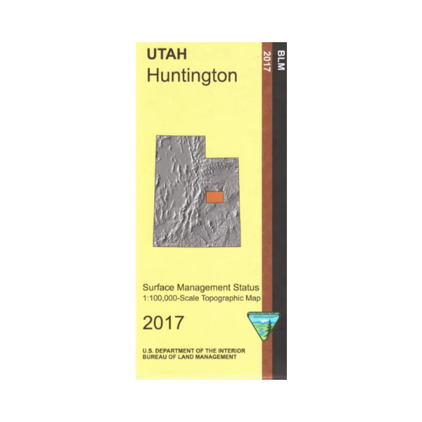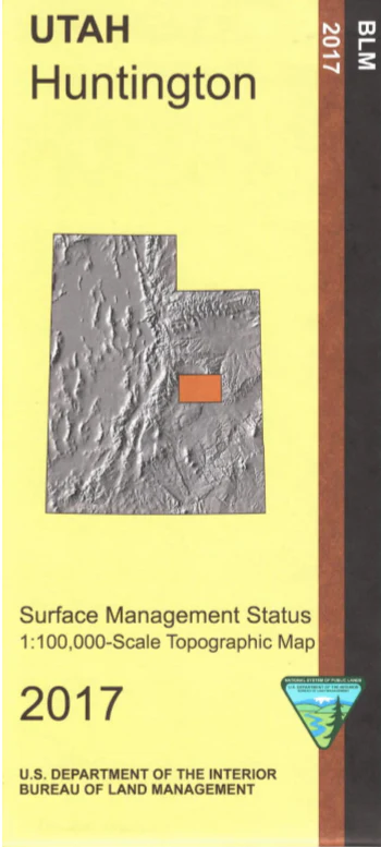
Map: Smoky Mountain UT - UT137S
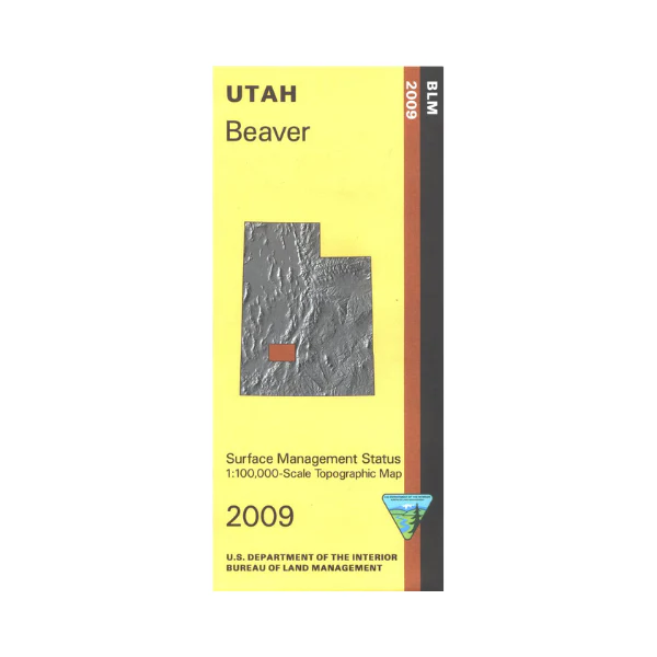
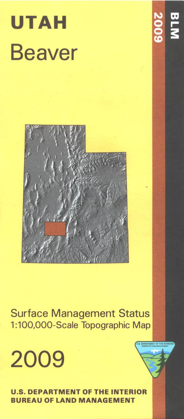
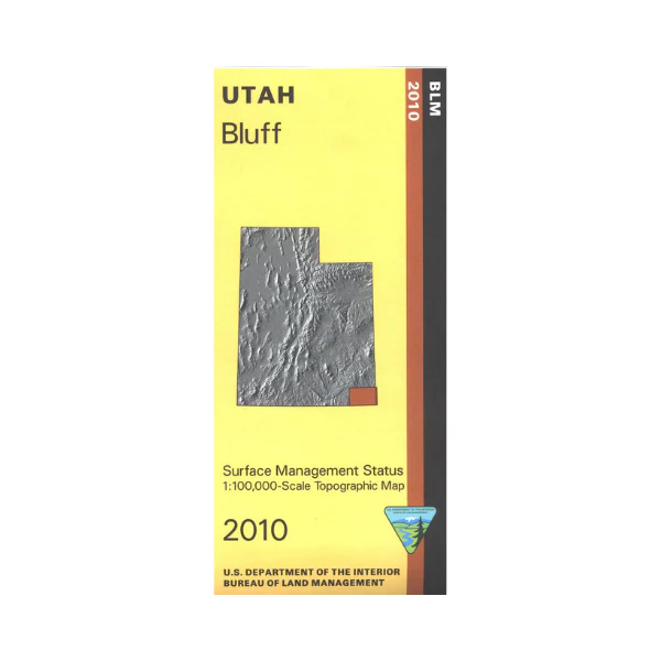
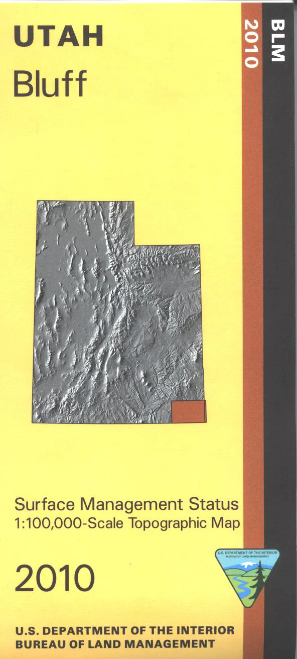
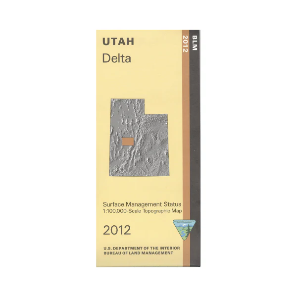
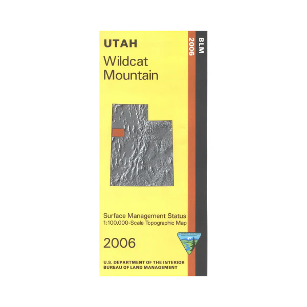
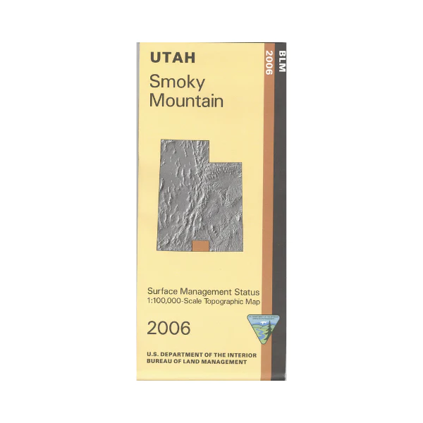
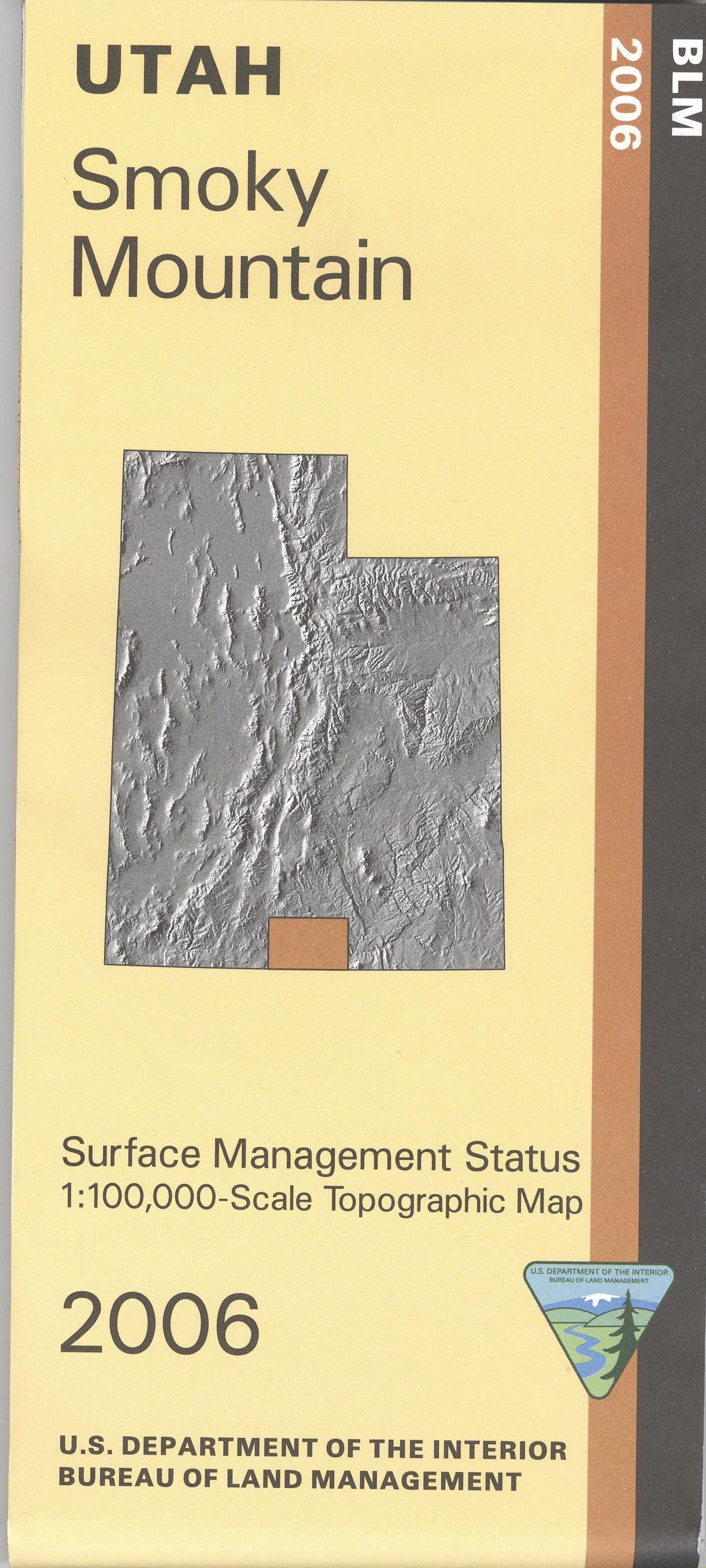
Map shows a large part of Grand Staircase - Escalante National Monument, part of Glen Canyon National Recreation Area with Lake Powell, and East Clark Bench state land. Travel three scenic backways in the national monument; Cottonwood Canyon, Smoky Mountain Road, and Hole in The Rock Road with opportunities for scenic driving, and hiking- trailheads are marked. Camping, fishing, swimming, and boating at Lake Powell. Official Bureau of Land Management metric topographic map @1:100,000 scale (roughly 3/4"`1 mile), color-coded to show Surface Management/ownership i.e. agency vs. private or tribal. Map shows roads, water features, recreation sites, trailheads, points of interest, and township and range lines. Use this map for hunting in Kaiparowitz and Paunsaugunt units. Updated 2006.
Product Information
Product Information
Shipping & Returns
Shipping & Returns
Description
Map shows a large part of Grand Staircase - Escalante National Monument, part of Glen Canyon National Recreation Area with Lake Powell, and East Clark Bench state land. Travel three scenic backways in the national monument; Cottonwood Canyon, Smoky Mountain Road, and Hole in The Rock Road with opportunities for scenic driving, and hiking- trailheads are marked. Camping, fishing, swimming, and boating at Lake Powell. Official Bureau of Land Management metric topographic map @1:100,000 scale (roughly 3/4"`1 mile), color-coded to show Surface Management/ownership i.e. agency vs. private or tribal. Map shows roads, water features, recreation sites, trailheads, points of interest, and township and range lines. Use this map for hunting in Kaiparowitz and Paunsaugunt units. Updated 2006.