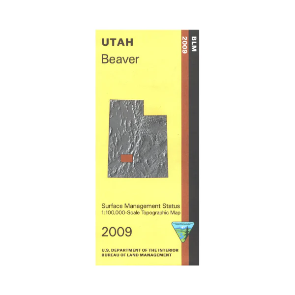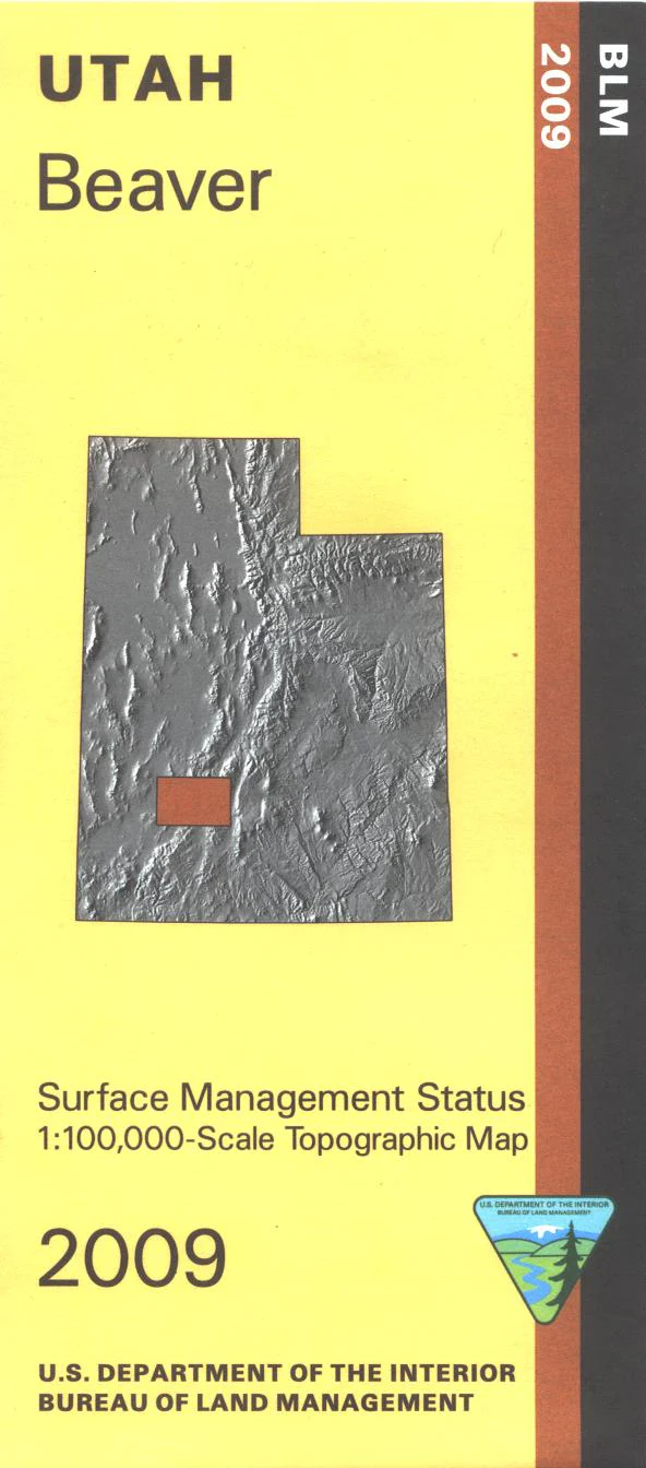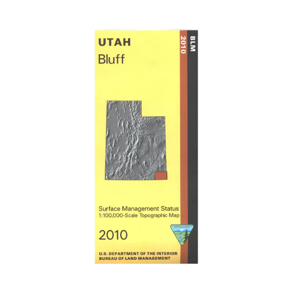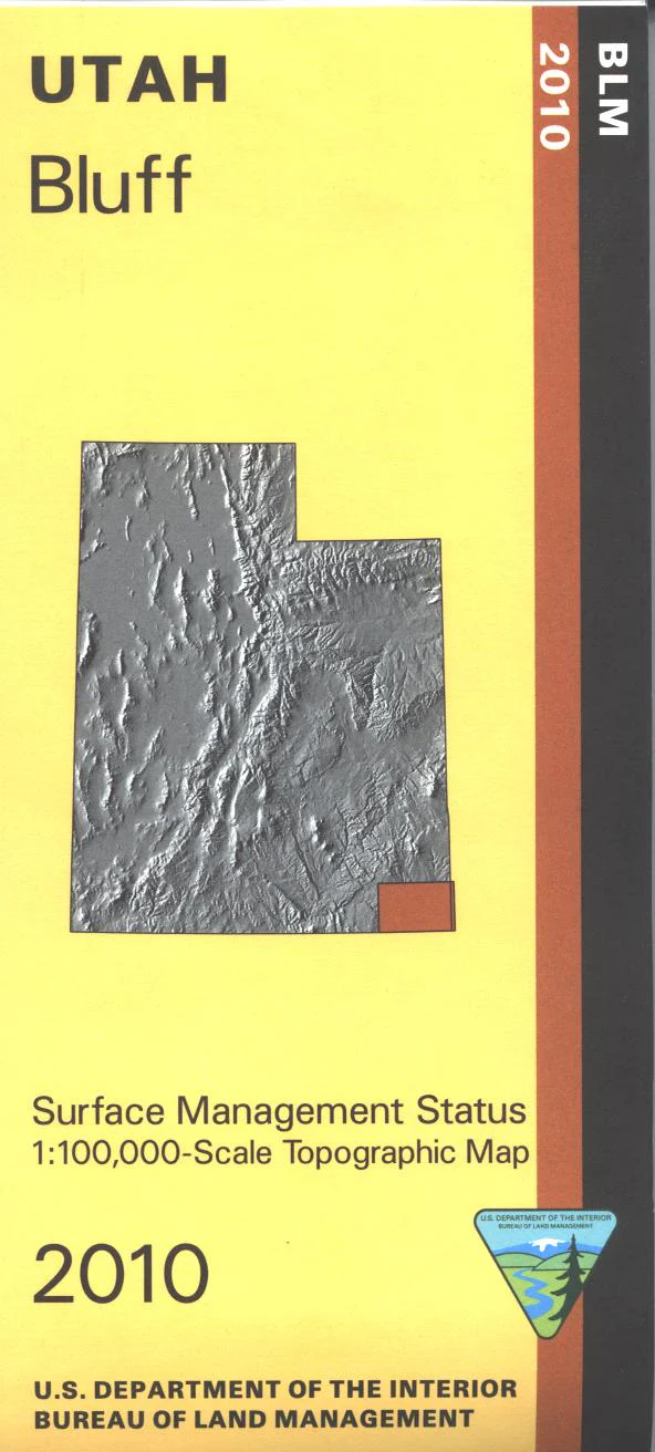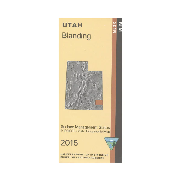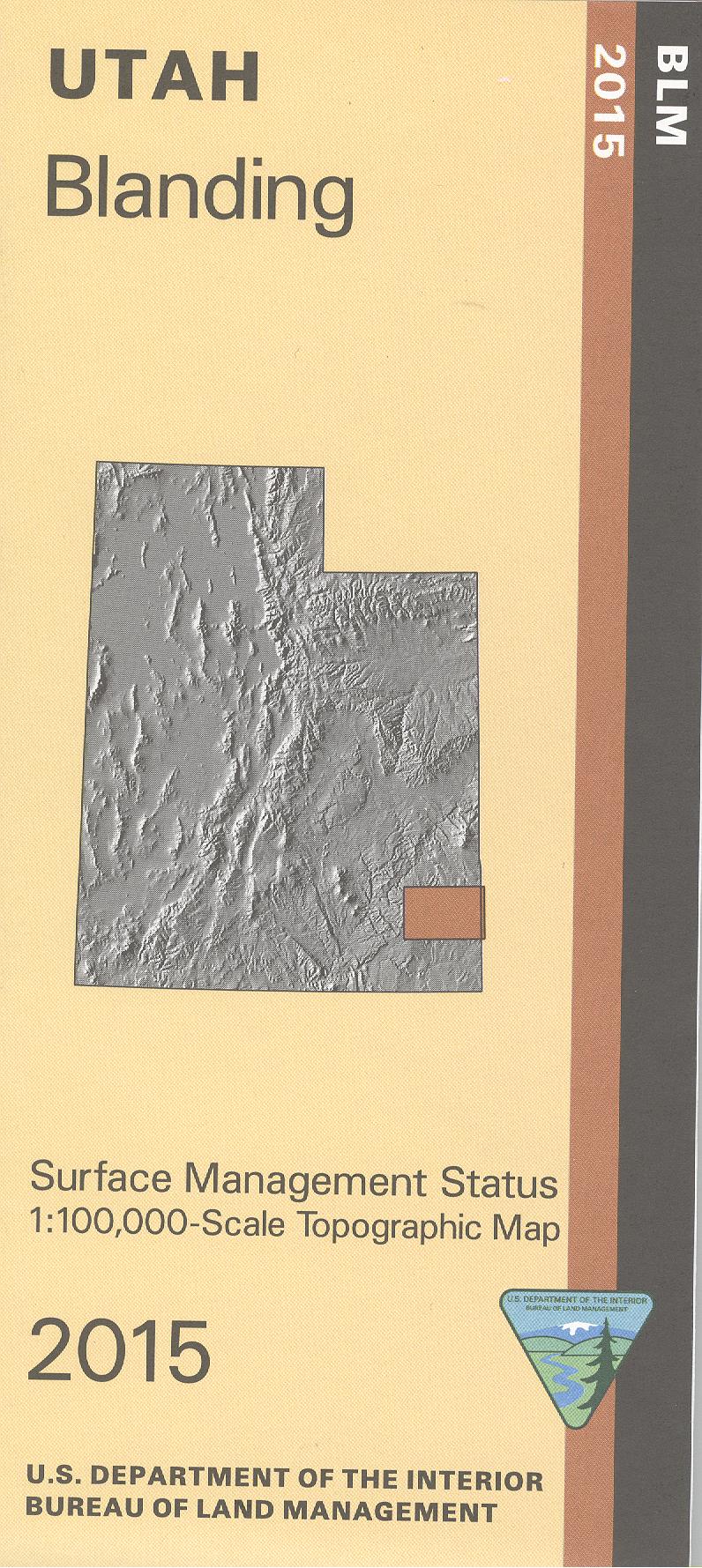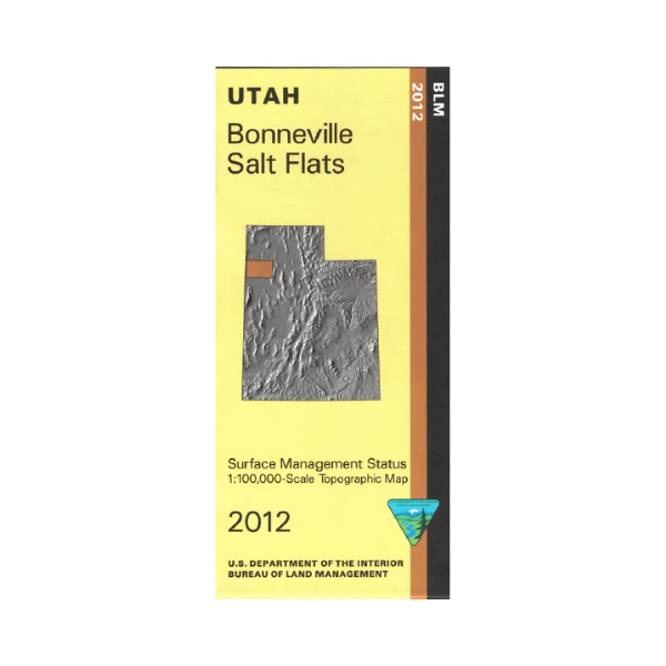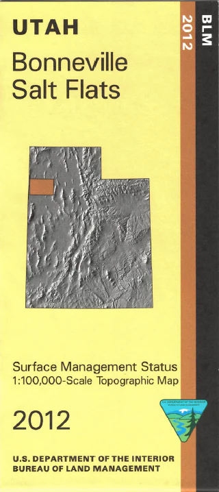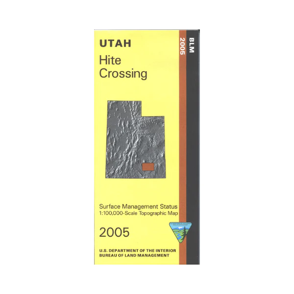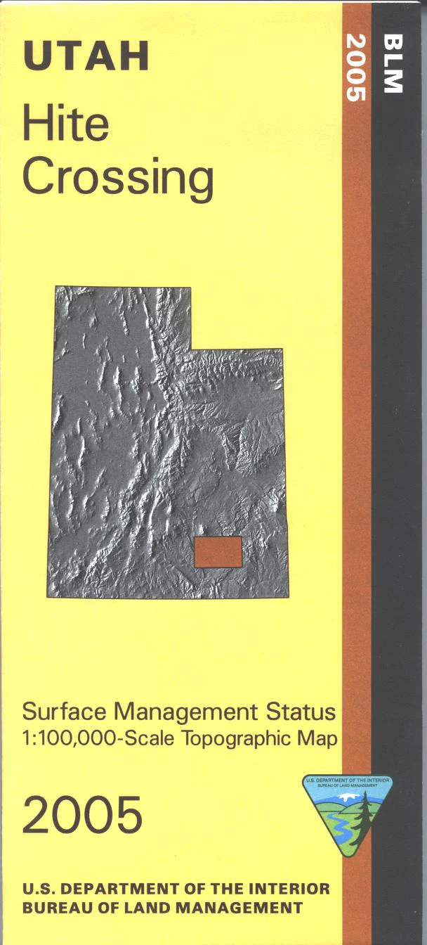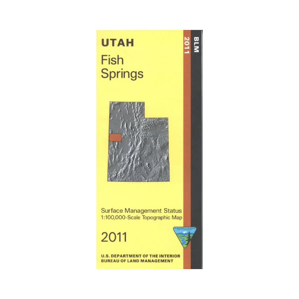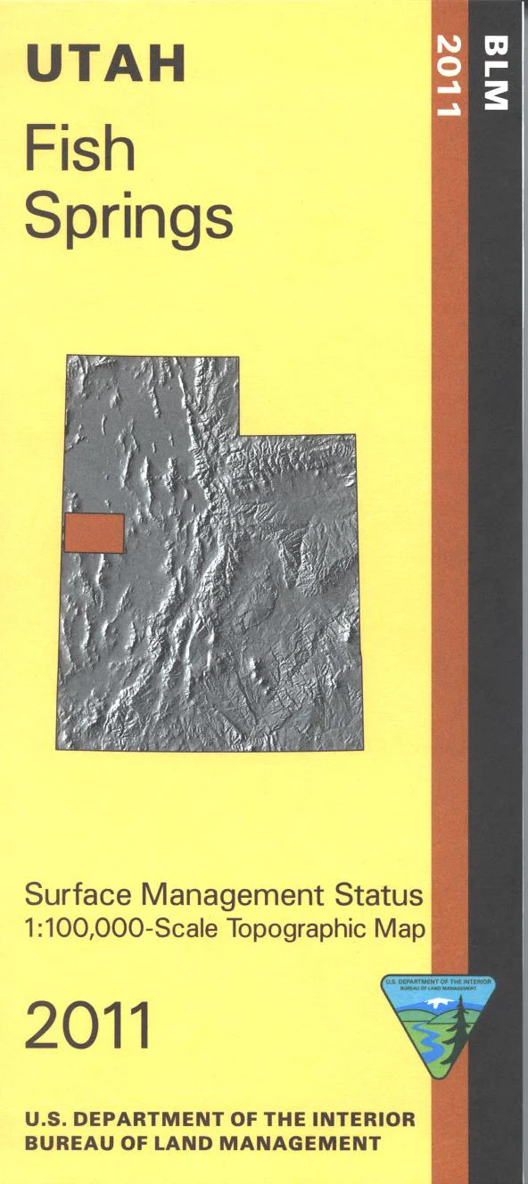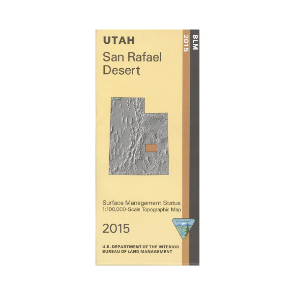
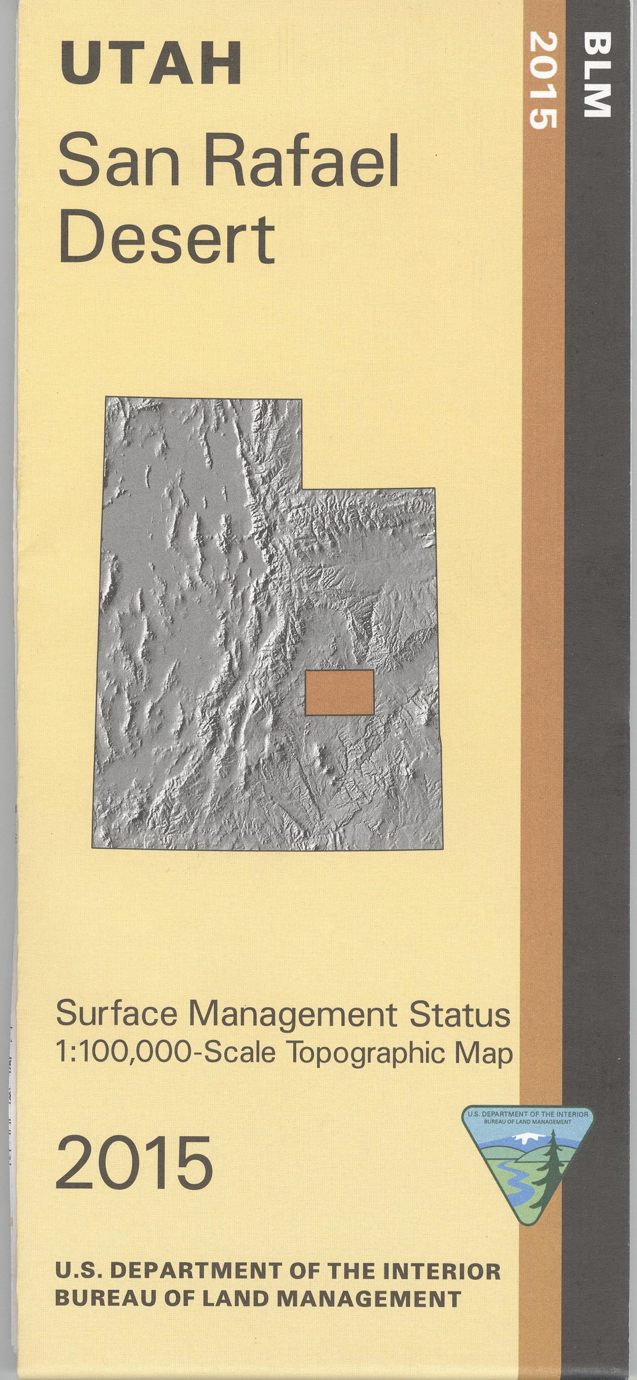
Map: San Rafael Desert UT - UT135S
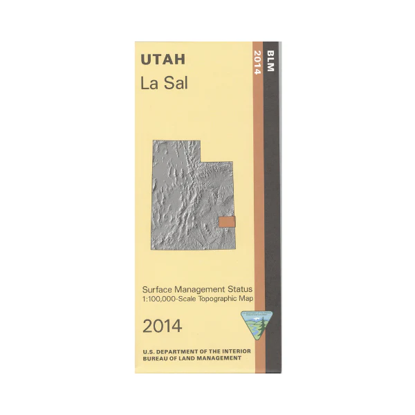
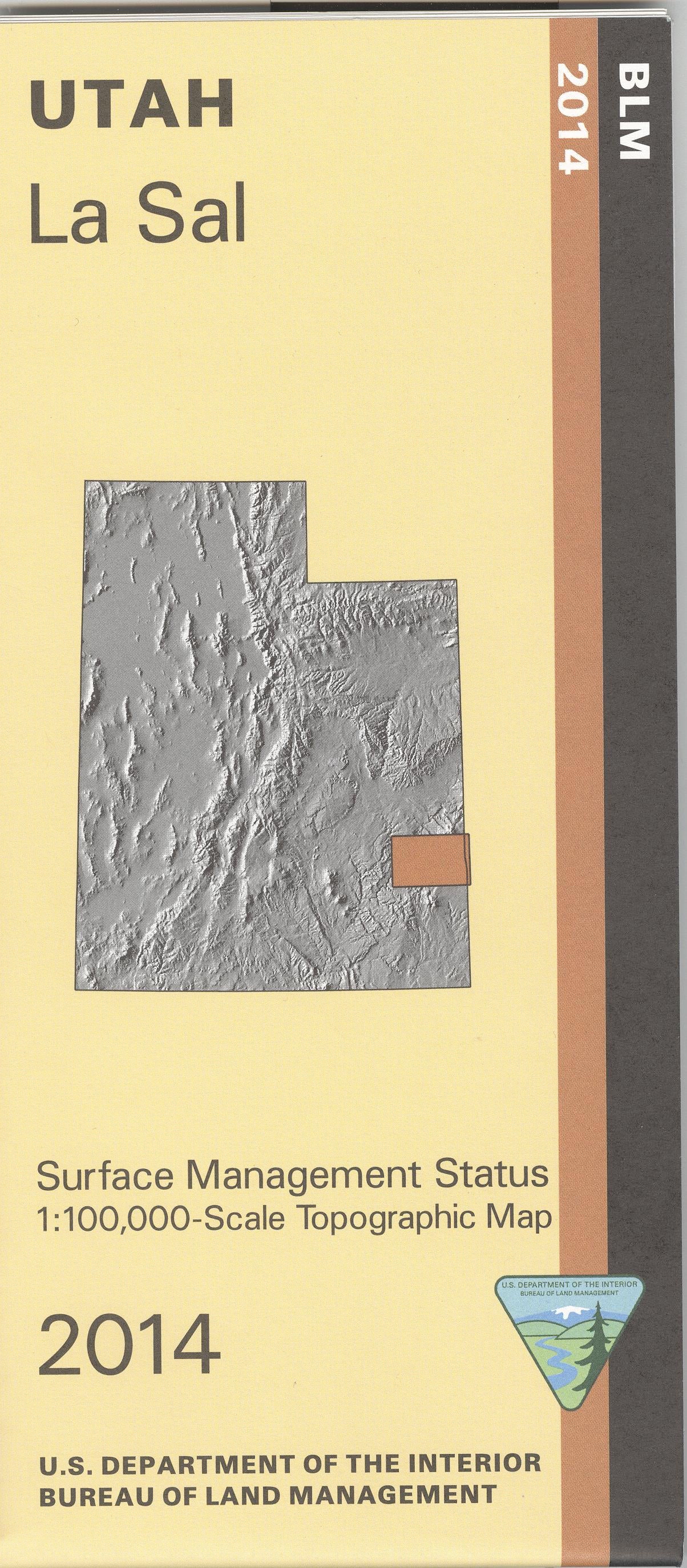
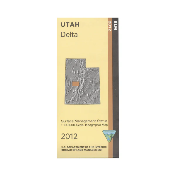
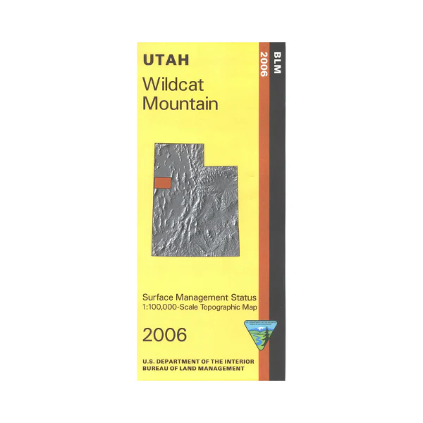
Map shows remote BLM land from the Green River west through much of the San Rafael Swell; includes the Goblin Valley State Park offering camping, hiking, and odd rock formations. Explore expansive BlM land in San Rafael Desert, Sinbad Country, and San Rafael Swell. Camp and access the Green River at Elgin in the Green River State Recreation Area. Official Bureau of Land Management metric topographic map @1:100,000 scale (roughly 3/4"`1 mile), color-coded to show Surface Management/ownership i.e. agency vs. private or tribal. Map shows roads, water features, recreation sites, points of interest, and township and range lines. Use this map for hunting in the La Sal and San Rafael units. 2015
Product Information
Product Information
Shipping & Returns
Shipping & Returns
Description
Map shows remote BLM land from the Green River west through much of the San Rafael Swell; includes the Goblin Valley State Park offering camping, hiking, and odd rock formations. Explore expansive BlM land in San Rafael Desert, Sinbad Country, and San Rafael Swell. Camp and access the Green River at Elgin in the Green River State Recreation Area. Official Bureau of Land Management metric topographic map @1:100,000 scale (roughly 3/4"`1 mile), color-coded to show Surface Management/ownership i.e. agency vs. private or tribal. Map shows roads, water features, recreation sites, points of interest, and township and range lines. Use this map for hunting in the La Sal and San Rafael units. 2015