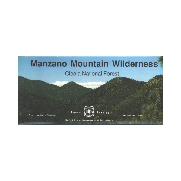

Map: Cibola NF, Manzano Mountain Wilderness NM
Official Forest Service map @ 1:24,000 scale (1"=2000` with topographic detail) showing all lands and trails in the Manzano Mountain Wilderness of the Cibola National Forest southeast of Albuquerque. This is a perfect map for hunting, hiking, camping, backpacking, and horseback riding in the wilderness. Scenic drive to Capilla Peak with panoramic views. Reprinted on waterproof, tear-proof, synthetic paper in 1991 (but nothing has moved much).
Product Information
Product Information
Shipping & Returns
Shipping & Returns
Description
Official Forest Service map @ 1:24,000 scale (1"=2000` with topographic detail) showing all lands and trails in the Manzano Mountain Wilderness of the Cibola National Forest southeast of Albuquerque. This is a perfect map for hunting, hiking, camping, backpacking, and horseback riding in the wilderness. Scenic drive to Capilla Peak with panoramic views. Reprinted on waterproof, tear-proof, synthetic paper in 1991 (but nothing has moved much).