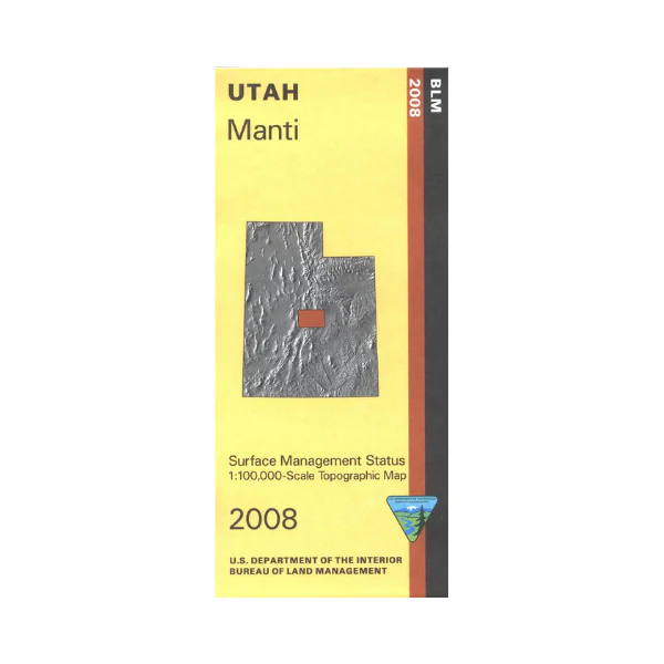
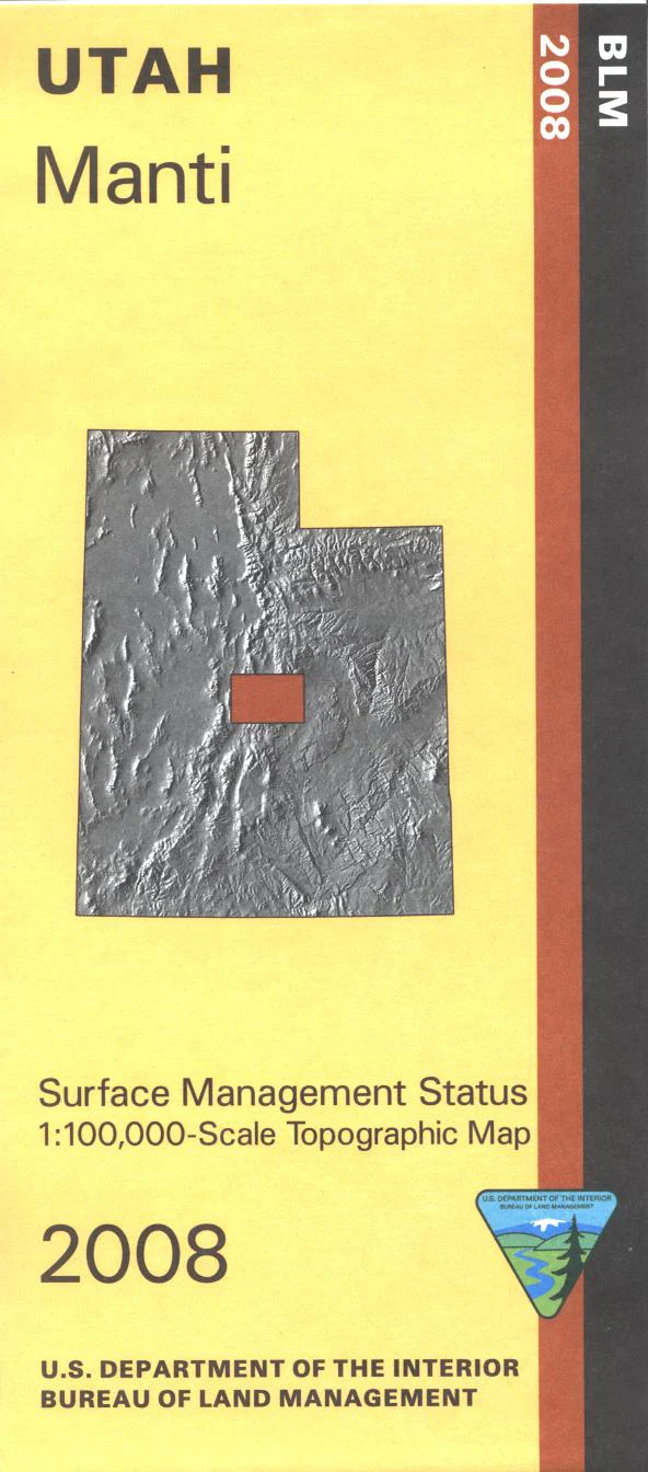
Map: Manti UT - UT121S
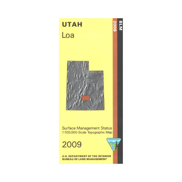
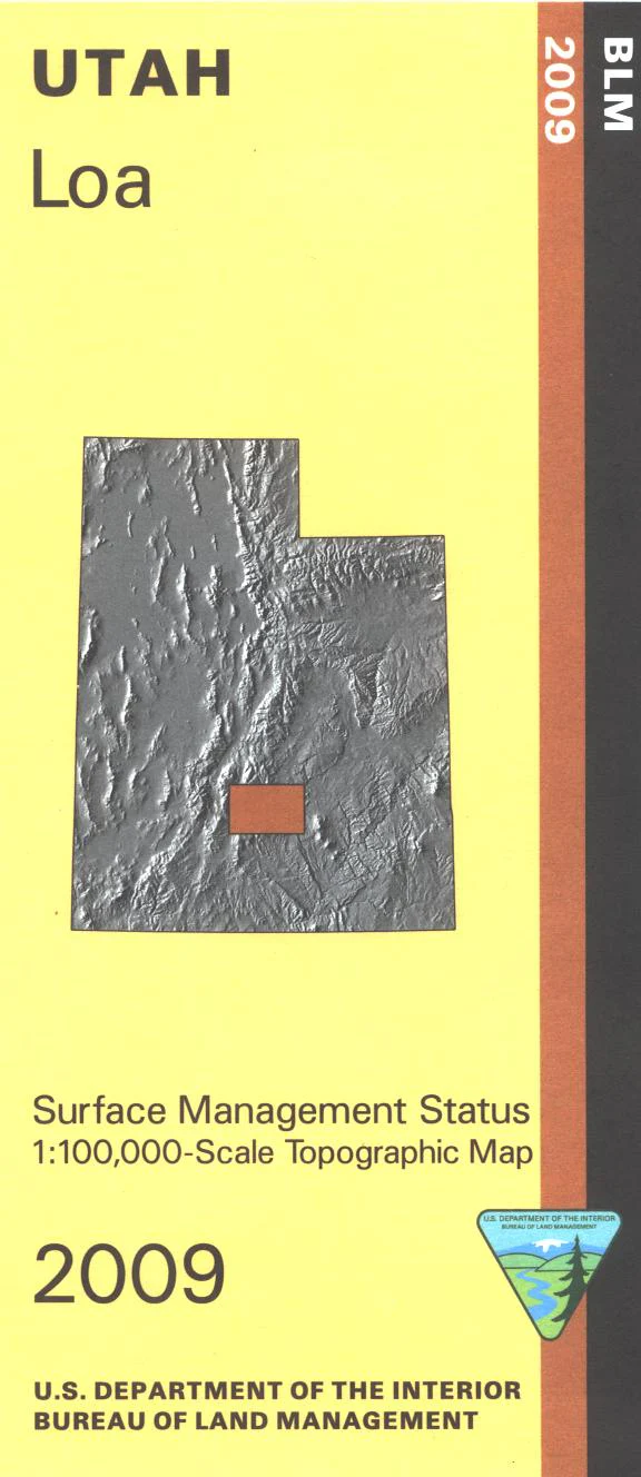
From Manti travel east on Mayfield Ferron Scenic Backway to a large part of the Manti La Sal National Forest with opportunities for camping, fishing, boating, and hiking. Also explore the Skyline Drive Scenic Backway which runs north to south through the forest. Visit Joes Valley Reservoir with camping, fishing, hiking, and motor boating opportunities. Explore the BLM lands around Ferron or around Gunnison. Official Bureau of Land Management metric topographic map @1:100,000 scale (roughly 3/4"`1 mile), color-coded to show Surface Management/ownership i.e. public vs. private or tribal. Map shows roads, water features, recreation sites, trails, points of interest, and township and range lines. Use this map for hunting in the Filmore, Manti, and San Rafael units. 2008
Original: $8.99
-65%$8.99
$3.15Product Information
Product Information
Shipping & Returns
Shipping & Returns
Description
From Manti travel east on Mayfield Ferron Scenic Backway to a large part of the Manti La Sal National Forest with opportunities for camping, fishing, boating, and hiking. Also explore the Skyline Drive Scenic Backway which runs north to south through the forest. Visit Joes Valley Reservoir with camping, fishing, hiking, and motor boating opportunities. Explore the BLM lands around Ferron or around Gunnison. Official Bureau of Land Management metric topographic map @1:100,000 scale (roughly 3/4"`1 mile), color-coded to show Surface Management/ownership i.e. public vs. private or tribal. Map shows roads, water features, recreation sites, trails, points of interest, and township and range lines. Use this map for hunting in the Filmore, Manti, and San Rafael units. 2008