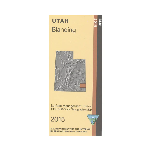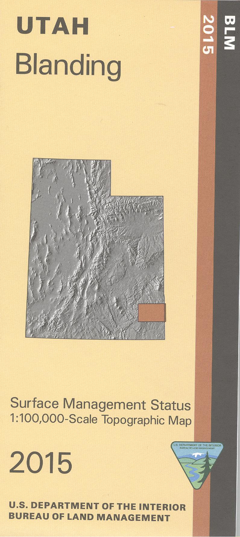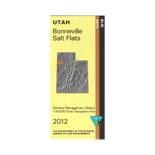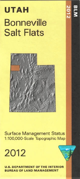
Map: Lynndyl UT - UT120S
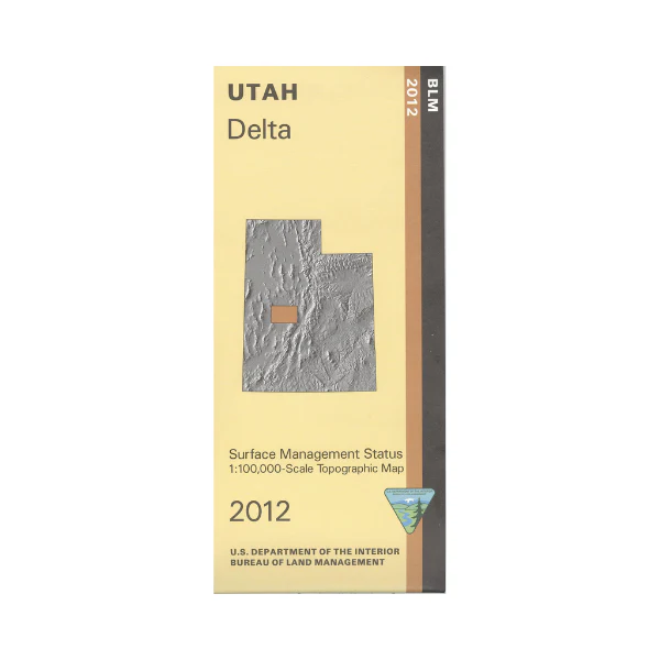
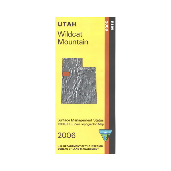
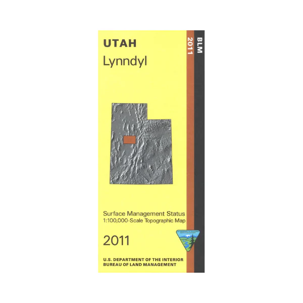
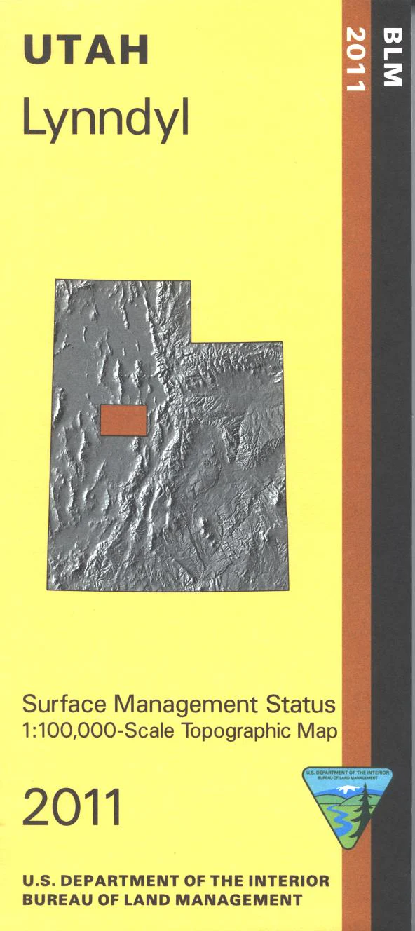
From Lynndyl travel north to BLM's Little Sahara Recreation Area for camping, group camping, and OHV use. Explore the expansive BLM land from Dugway Valley east to Tintic Mountains(east and west)north of Lynndyl. Official Bureau of Land Management metric topographic map @1:100,000 scale (roughly 3/4"`1 mile), color-coded to show Surface Management/ownership i.e. public vs. private or tribal. Map shows roads, trails, water features, recreation sites, points of interest, and township and range lines. Use this map to hunt in the Filmore and West Desert Units. 2011
Original: $8.99
-65%$8.99
$3.15Product Information
Product Information
Shipping & Returns
Shipping & Returns
Description
From Lynndyl travel north to BLM's Little Sahara Recreation Area for camping, group camping, and OHV use. Explore the expansive BLM land from Dugway Valley east to Tintic Mountains(east and west)north of Lynndyl. Official Bureau of Land Management metric topographic map @1:100,000 scale (roughly 3/4"`1 mile), color-coded to show Surface Management/ownership i.e. public vs. private or tribal. Map shows roads, trails, water features, recreation sites, points of interest, and township and range lines. Use this map to hunt in the Filmore and West Desert Units. 2011