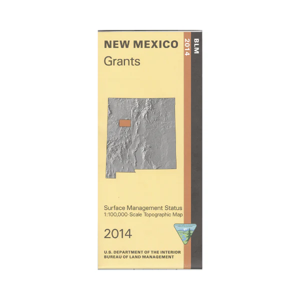
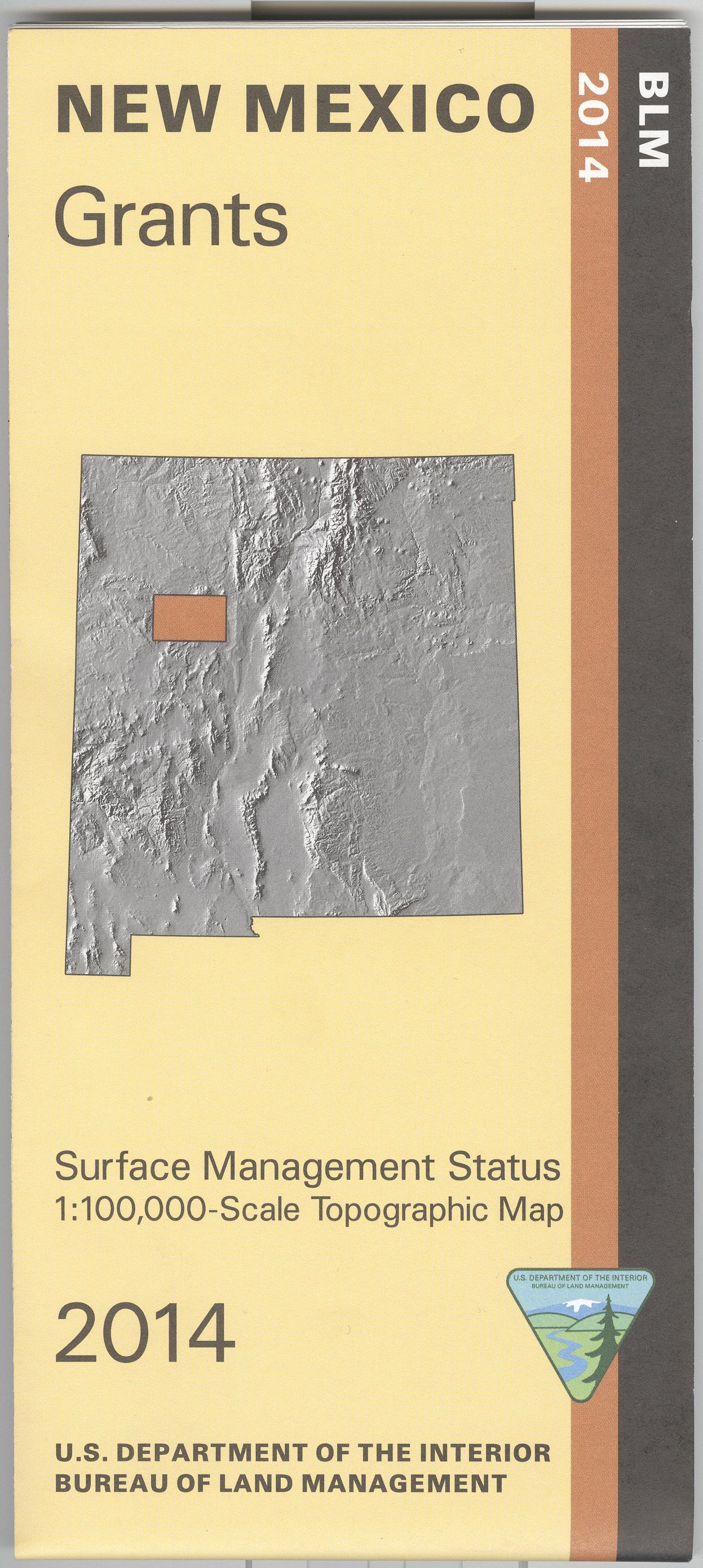
Map: Grants NM - NM029S
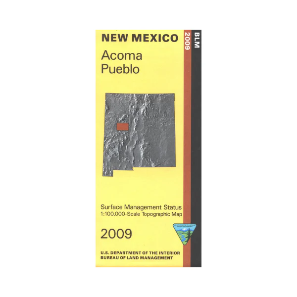
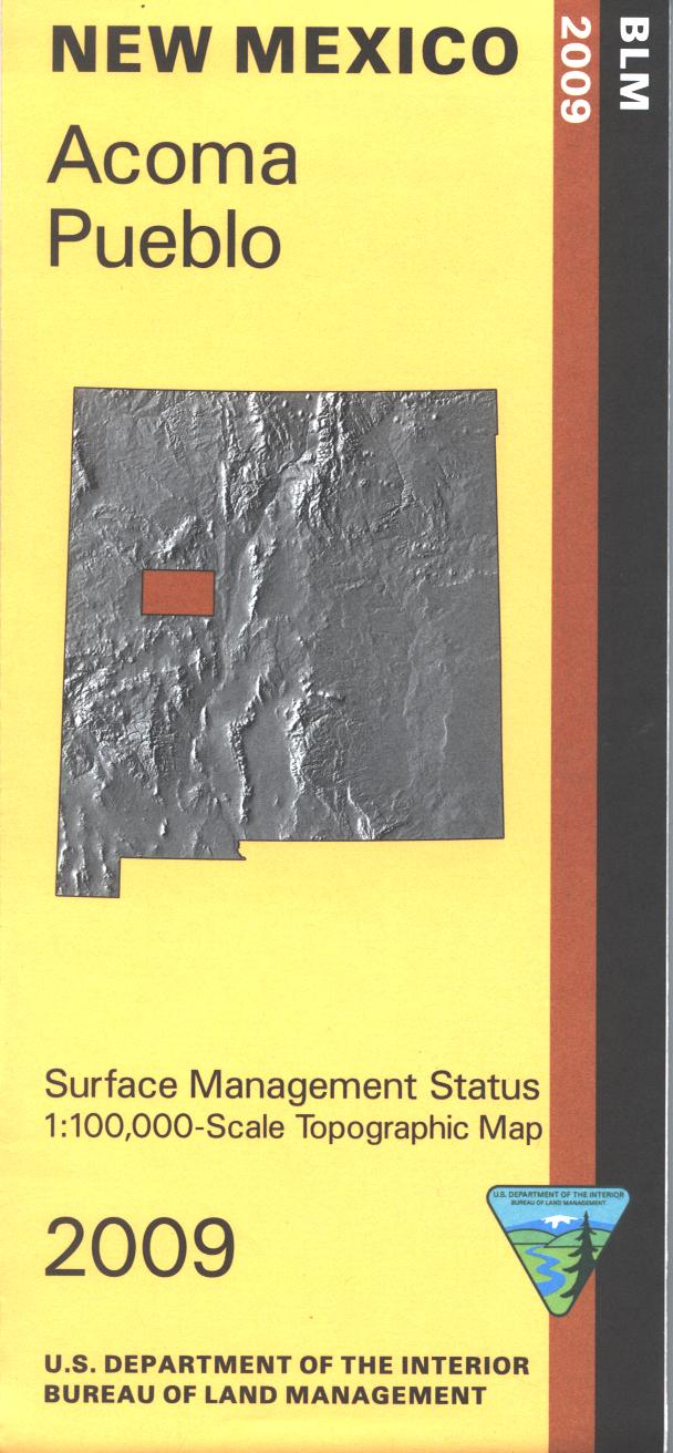
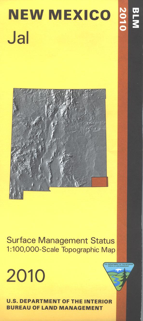
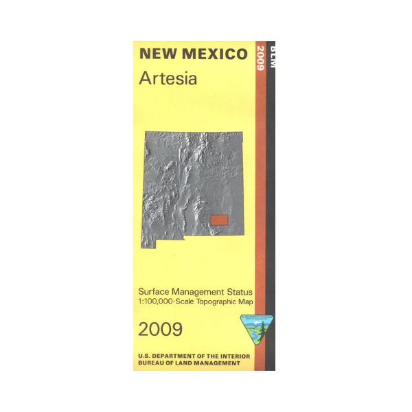
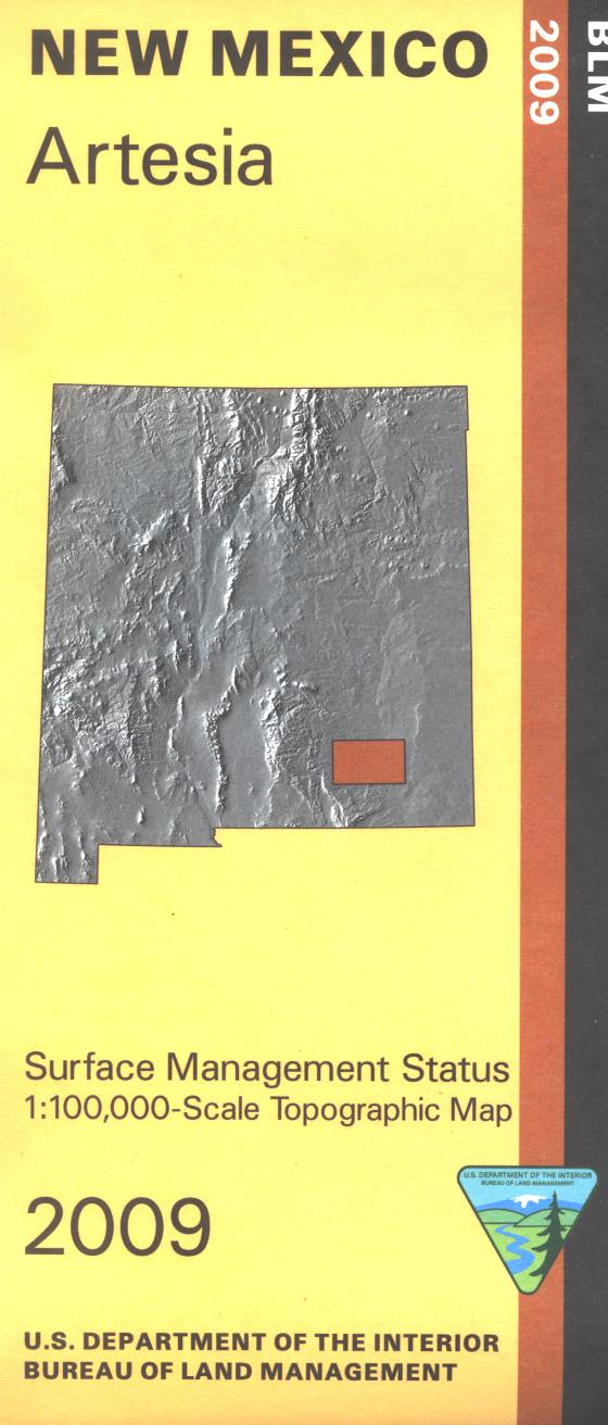
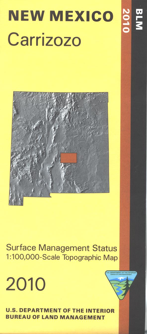
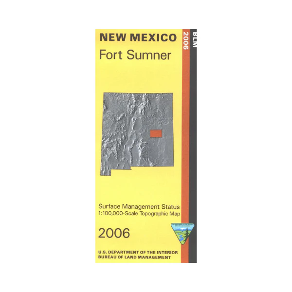
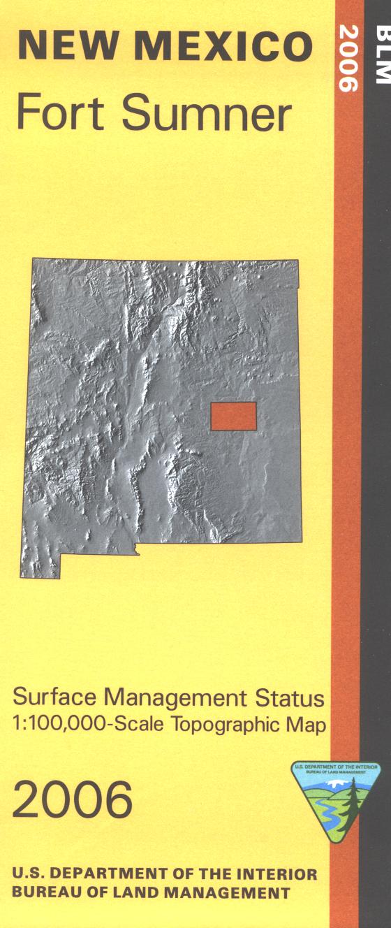
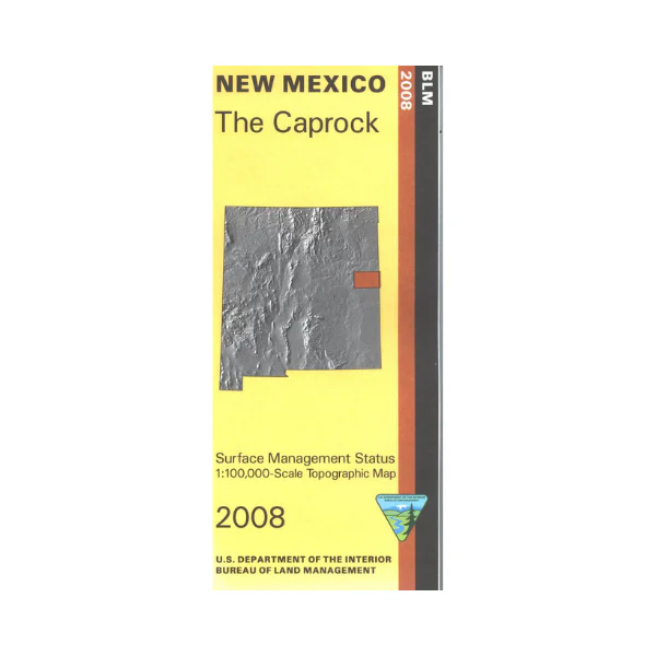
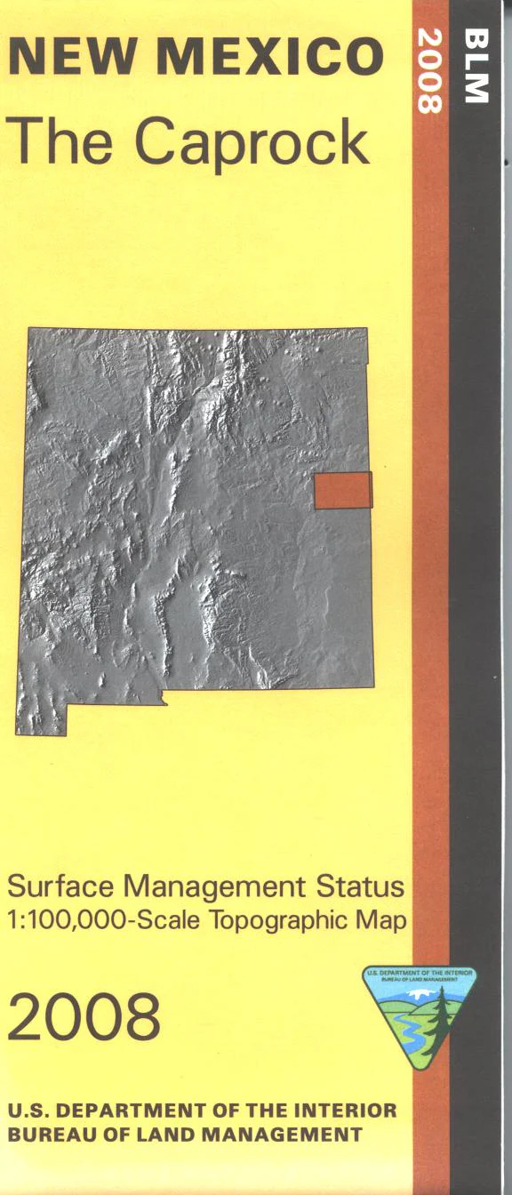
Official Bureau of Land Management topographic maps @1:100,000 metric scale (roughly 3/4" = 1 mile), are color-coded to show federally-managed public lands; plus state, private, or tribal lands, military withdrawals, roads and trails, lakes, rivers and streams, and developed recreation areas. It is a great map to have while stalking game in Hunting Units 9, 10, and 13, fishing (where available), wildlife watching, hiking, backpacking, mountain biking, camping, scenic driving, or OHV and ATV riding. Includes roads and lands in McKinley, Sandoval, Cibola and Bernalillo Counties; the Mount Taylor portion of Cibola National Forest. Visit Acoma Indian Reservation, and the scenic Laguna Indian Reservation on the Route 66 Scenic Byway. 2014
Original: $8.99
-65%$8.99
$3.15Product Information
Product Information
Shipping & Returns
Shipping & Returns
Description
Official Bureau of Land Management topographic maps @1:100,000 metric scale (roughly 3/4" = 1 mile), are color-coded to show federally-managed public lands; plus state, private, or tribal lands, military withdrawals, roads and trails, lakes, rivers and streams, and developed recreation areas. It is a great map to have while stalking game in Hunting Units 9, 10, and 13, fishing (where available), wildlife watching, hiking, backpacking, mountain biking, camping, scenic driving, or OHV and ATV riding. Includes roads and lands in McKinley, Sandoval, Cibola and Bernalillo Counties; the Mount Taylor portion of Cibola National Forest. Visit Acoma Indian Reservation, and the scenic Laguna Indian Reservation on the Route 66 Scenic Byway. 2014