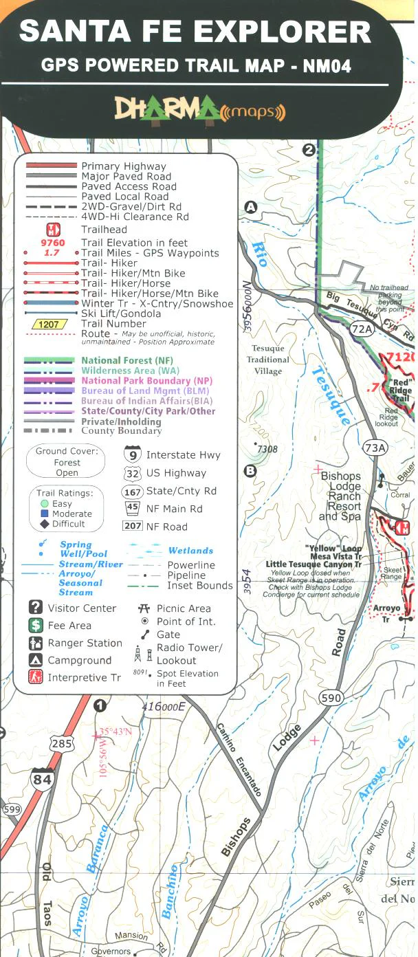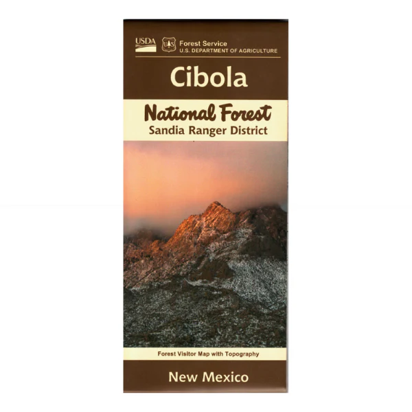
Map: Cibola National Forest NM Sandia District (2023 Edition)
Official Forest Service map (including topographic detail) shows all lands, roads, trails, picnic areas, campgrounds and other recreation sites in in the Sandia District of the Cibola National Forest, immediately east of Albuquerque. This is a perfect map for scenic driving, hiking, camping, backpacking, and horseback riding both in the forest and in the Sandia Mountain Wilderness. Ride the Tram to the top of Sandia Crest or scenic drive the Sandia Crest Road. Revised version also includes detailed trail information including elevation gain. Printed on waterproof, tear-proof, synthetic paper. 2023
Original: $19.99
-65%$19.99
$7.00Product Information
Product Information
Shipping & Returns
Shipping & Returns
Description
Official Forest Service map (including topographic detail) shows all lands, roads, trails, picnic areas, campgrounds and other recreation sites in in the Sandia District of the Cibola National Forest, immediately east of Albuquerque. This is a perfect map for scenic driving, hiking, camping, backpacking, and horseback riding both in the forest and in the Sandia Mountain Wilderness. Ride the Tram to the top of Sandia Crest or scenic drive the Sandia Crest Road. Revised version also includes detailed trail information including elevation gain. Printed on waterproof, tear-proof, synthetic paper. 2023