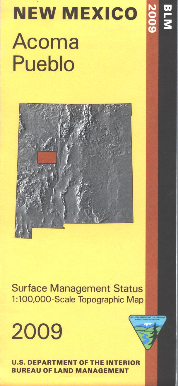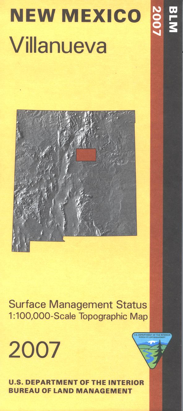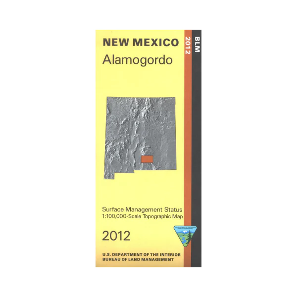
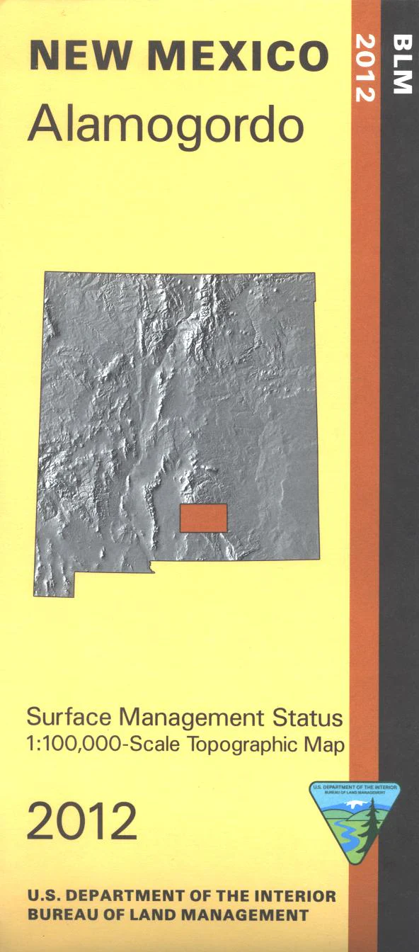
Map: Alamogordo NM (MINERAL) - NM004SM
Official Bureau of Land Management topographic maps @1:100,000 metric scale (roughly 3/4" = 1 mile), are color coded to show military withdrawals, private, state, and federally-managed lands, roads and trails, lakes, rivers and streams, and developed recreation areas. Applies to Hunting Units 34, 28 and 29. Use for fishing the Cloudcroft country, wildlife watching, hiking, backpacking, mountain biking, camping, or OHV and ATV riding in Lincoln National Forest. Includes roads and lands in Otero and Chavez Counties.
This Mineral Management map features an additional layer showing sub-surface mineral management rights.
2012
Original: $8.99
-65%$8.99
$3.15Product Information
Product Information
Shipping & Returns
Shipping & Returns
Description
Official Bureau of Land Management topographic maps @1:100,000 metric scale (roughly 3/4" = 1 mile), are color coded to show military withdrawals, private, state, and federally-managed lands, roads and trails, lakes, rivers and streams, and developed recreation areas. Applies to Hunting Units 34, 28 and 29. Use for fishing the Cloudcroft country, wildlife watching, hiking, backpacking, mountain biking, camping, or OHV and ATV riding in Lincoln National Forest. Includes roads and lands in Otero and Chavez Counties.
This Mineral Management map features an additional layer showing sub-surface mineral management rights.
2012