Map: Wendover NV - NV168S
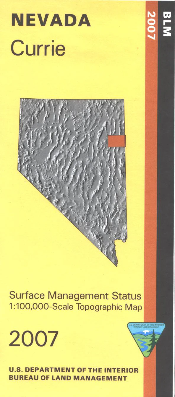
BLM Management Status maps color code who owns what in the given quadrant; private, tribal, or public. Roads and waterways and other manmade and natural features are clearly marked. Explore BLM lands west of Wendover; includes Toano Range, Goshute Valley, Pequop Mountains, Spruce Mountain Ridge, and Snow Water Lake. A section of the California National Historic Trail(Hastings Cutoff) is marked. Use this map for OHV use, and hunting in NV Units 78, 79, 101, 104, 105, 106, and 109. 2007
Original: $8.99
-65%$8.99
$3.15Product Information
Product Information
Shipping & Returns
Shipping & Returns
Description
BLM Management Status maps color code who owns what in the given quadrant; private, tribal, or public. Roads and waterways and other manmade and natural features are clearly marked. Explore BLM lands west of Wendover; includes Toano Range, Goshute Valley, Pequop Mountains, Spruce Mountain Ridge, and Snow Water Lake. A section of the California National Historic Trail(Hastings Cutoff) is marked. Use this map for OHV use, and hunting in NV Units 78, 79, 101, 104, 105, 106, and 109. 2007