Map: Eugene Mountains NV - NV122S
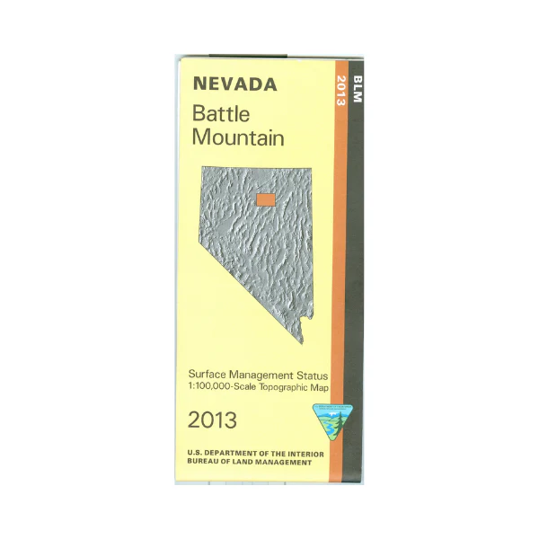
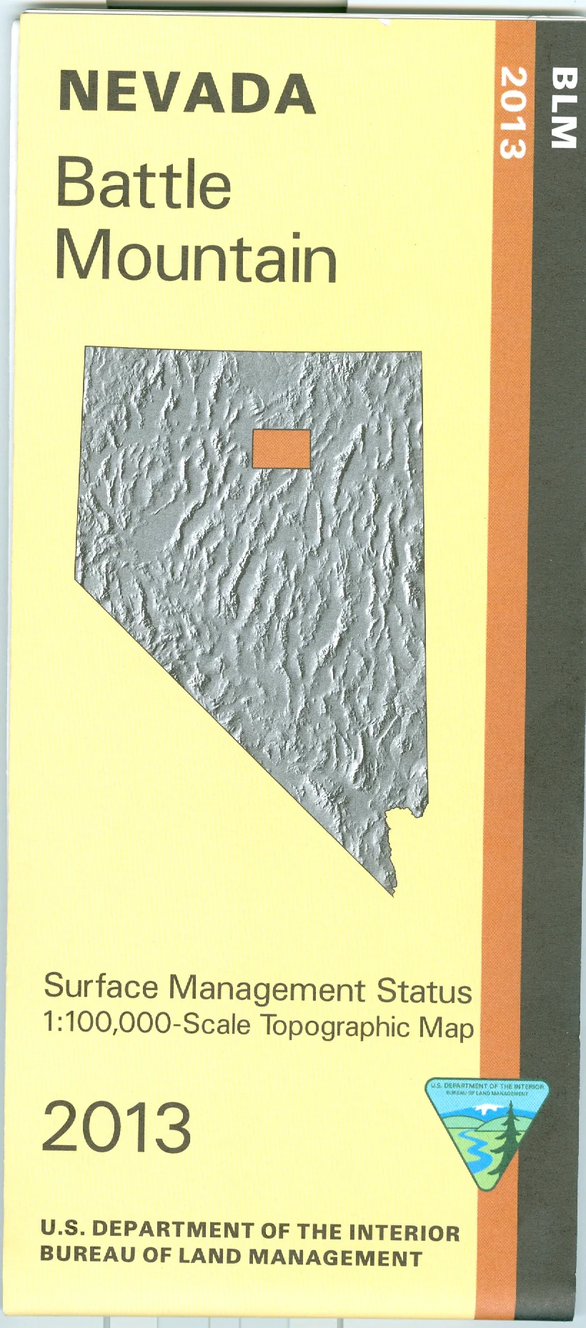
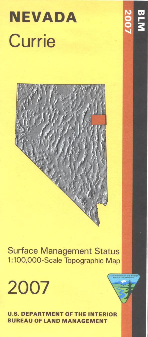
BLM Management Status maps color code who owns what in the given quadrant; private, tribal, or public. Roads, waterways, recreation sites, and other manmade and natural features are clearly marked. The California National Historic Trail/Applegate Lassen Route is marked on the map. Enjoy camping, fishing, and boating at Rye Patch Reservoir. OHV riding, camping, and hiking at Black Rock Desert-High Rock Canyon National Conservation Area. Map is useful for OHV use, and NV Hunting Units 34, 35, 41, 42, and 43. 2013
Original: $8.99
-65%$8.99
$3.15Product Information
Product Information
Shipping & Returns
Shipping & Returns
Description
BLM Management Status maps color code who owns what in the given quadrant; private, tribal, or public. Roads, waterways, recreation sites, and other manmade and natural features are clearly marked. The California National Historic Trail/Applegate Lassen Route is marked on the map. Enjoy camping, fishing, and boating at Rye Patch Reservoir. OHV riding, camping, and hiking at Black Rock Desert-High Rock Canyon National Conservation Area. Map is useful for OHV use, and NV Hunting Units 34, 35, 41, 42, and 43. 2013