Map: Vya NV - NV164S
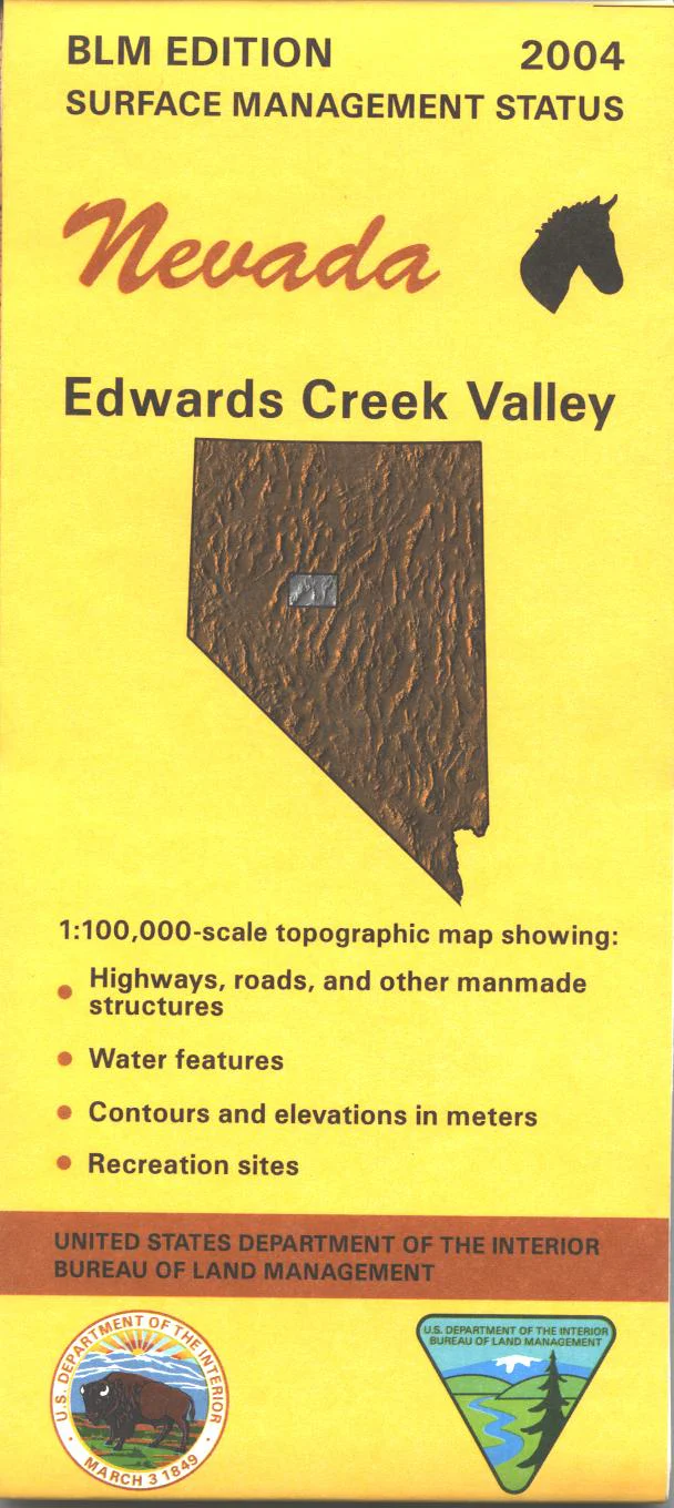
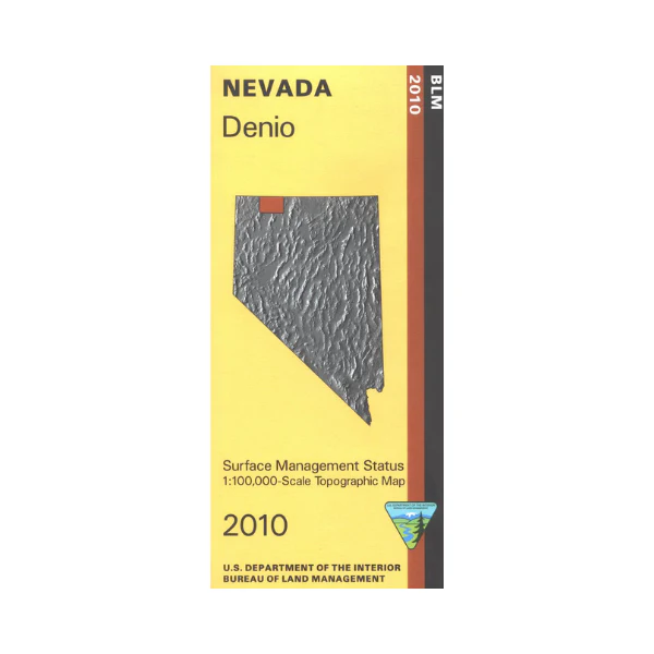
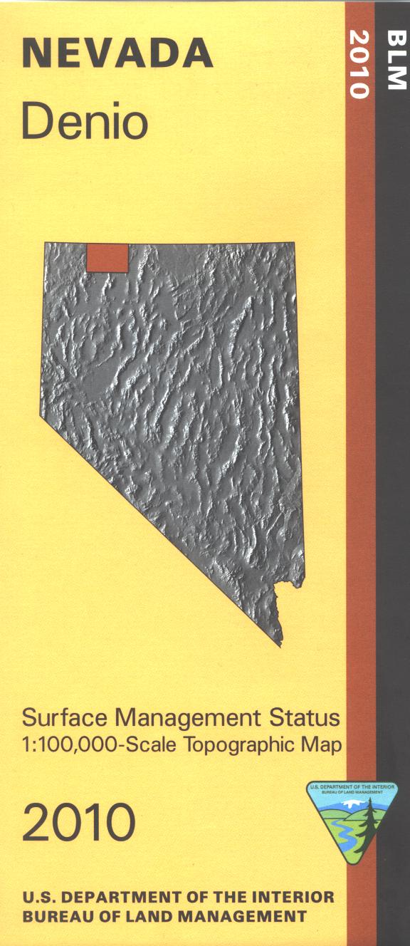
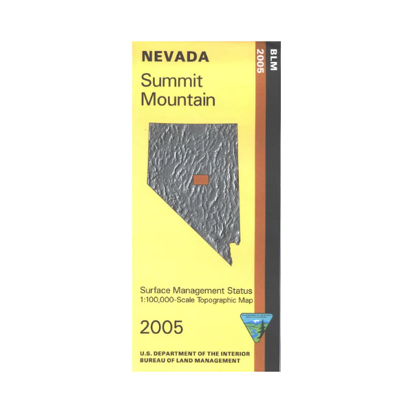
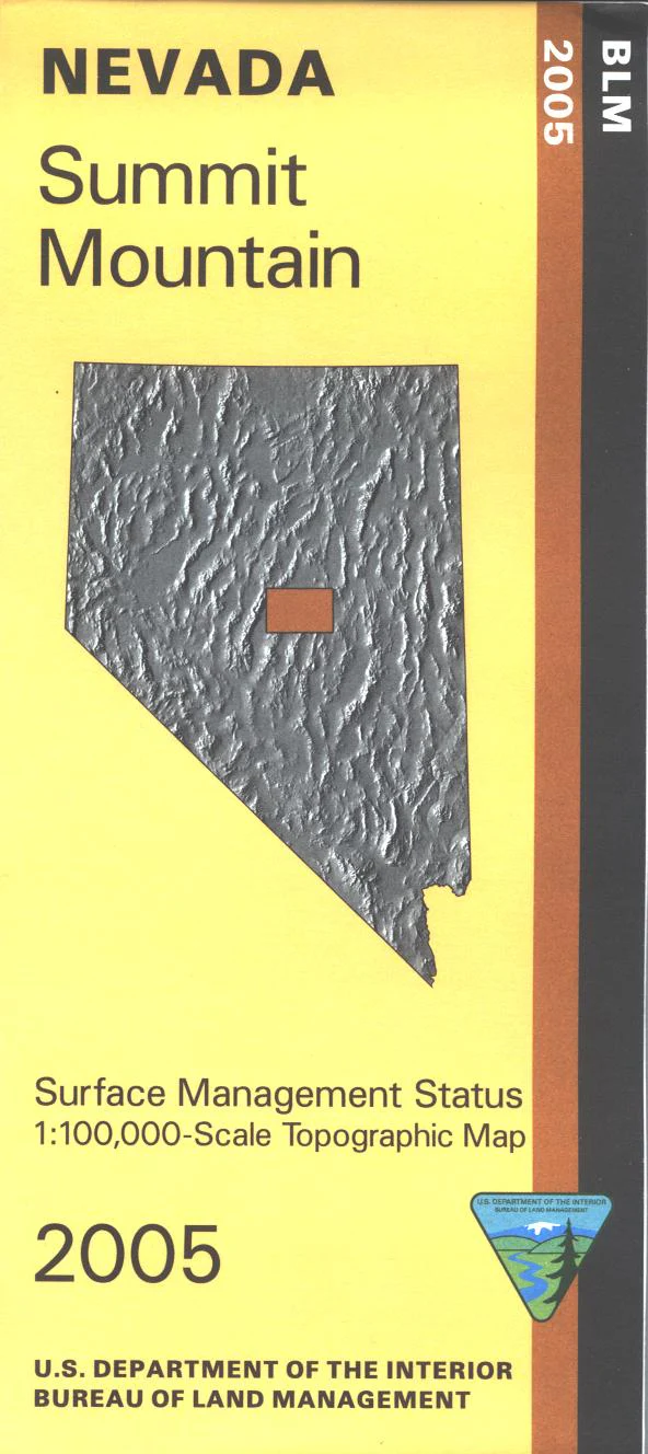
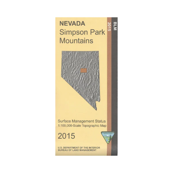
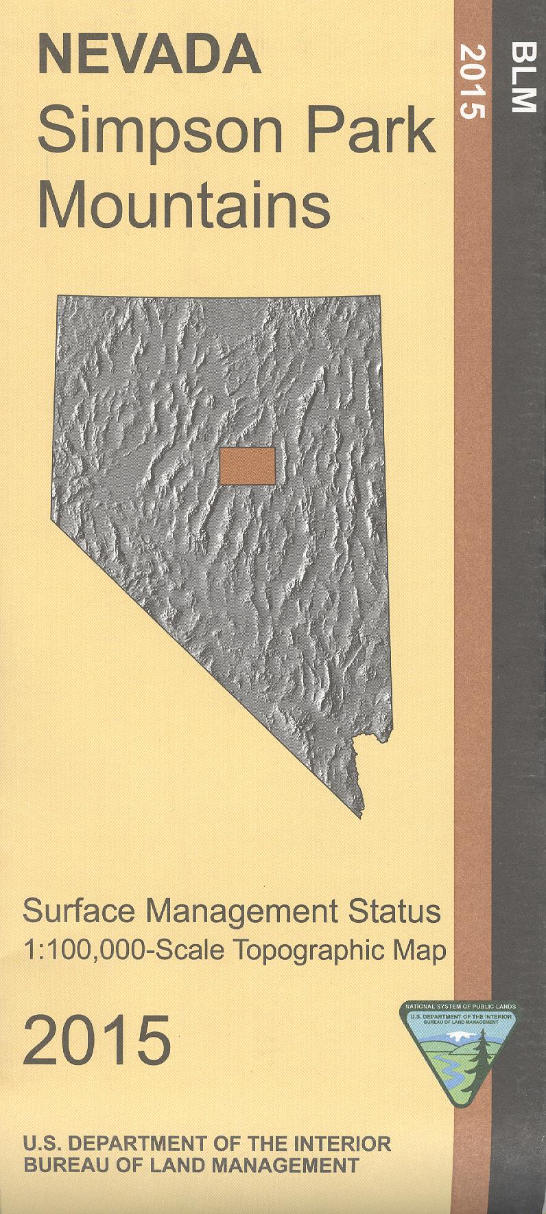
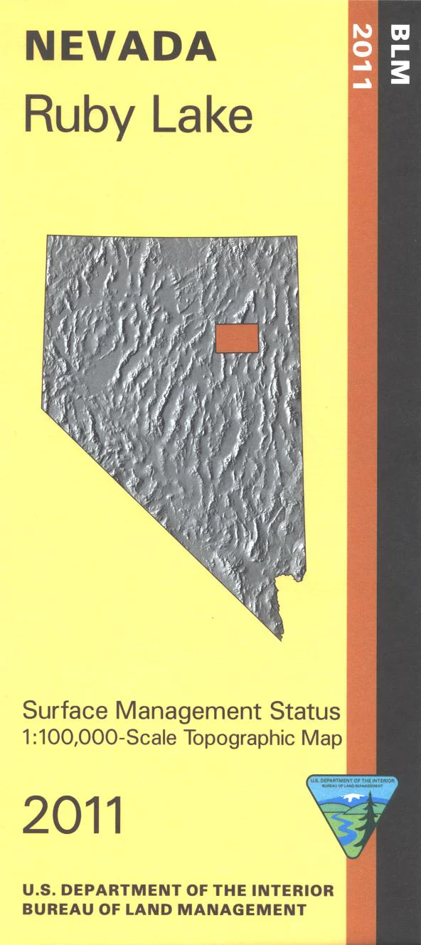
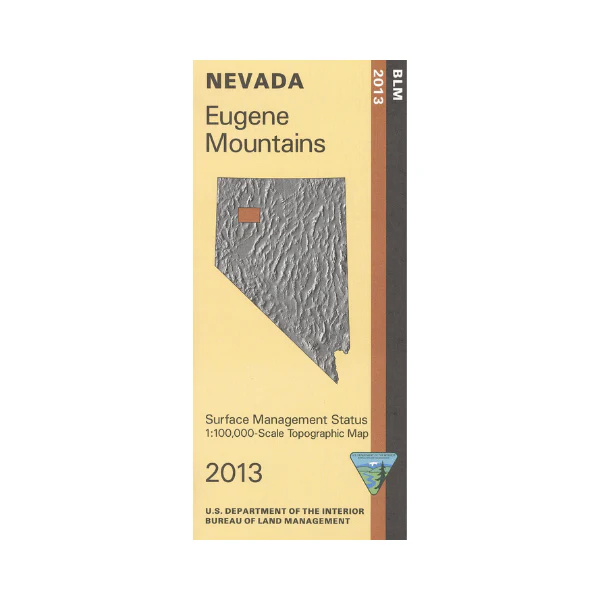
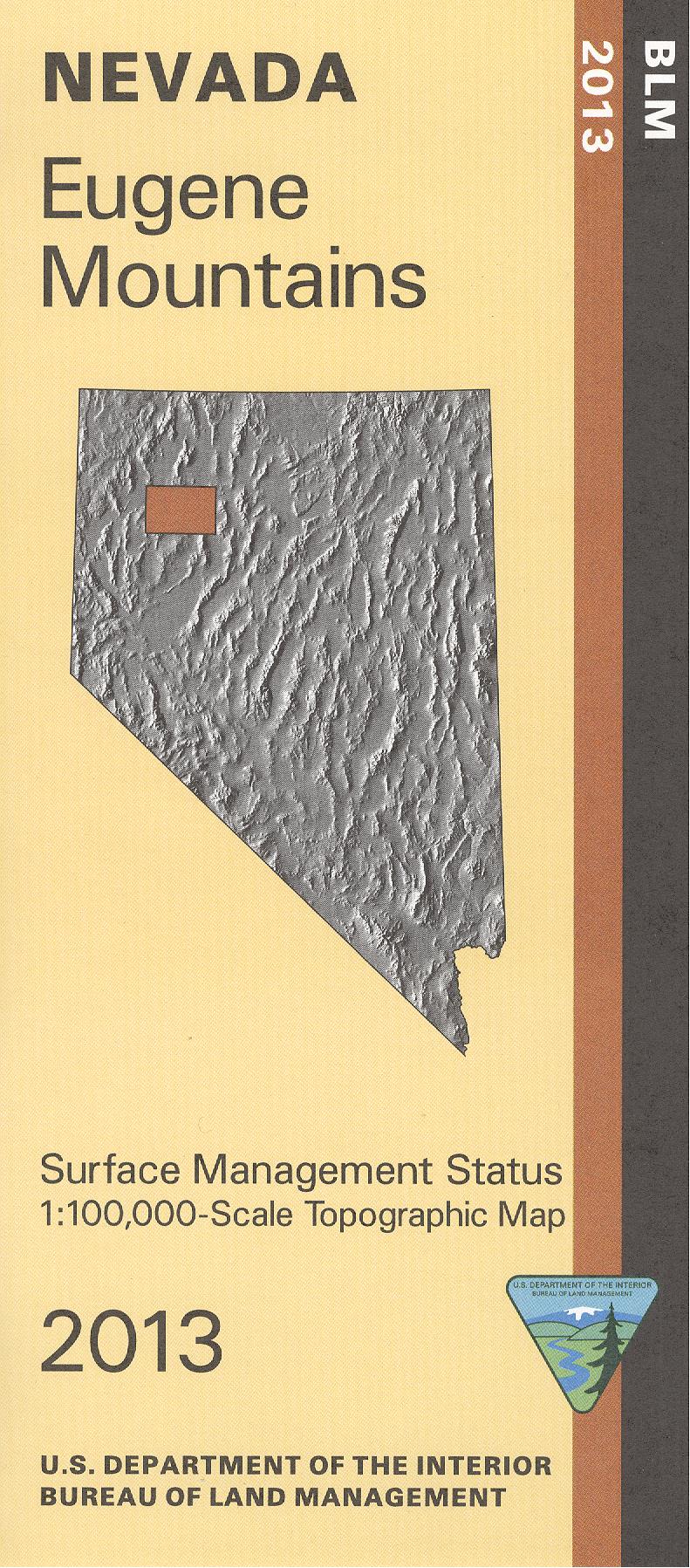
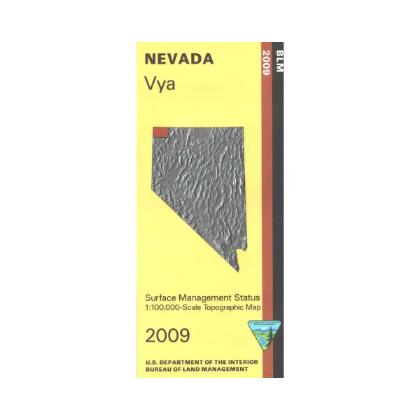
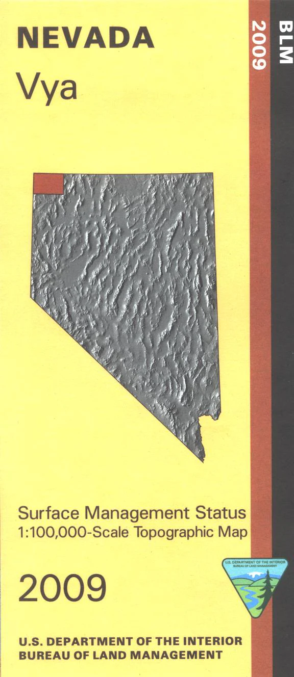
BLM Management Status maps color code who owns what in the given quadrant; private, tribal, or public. Roads, waterways, recreation sites, and other manmade and natural features are clearly marked. Camping, fishing, hiking, canoeing, and scenic driving in the north section of Sheldon National Wildlife Refuge accessed from Hwy 291. BLM wilderness study areas, and BLM lands are adjacent to the refuge, north and east of Vya. Use this map for OHV use, and hunting in NV Units 11, 12, 13, 33, and 34. 2017
Product Information
Product Information
Shipping & Returns
Shipping & Returns
Description
BLM Management Status maps color code who owns what in the given quadrant; private, tribal, or public. Roads, waterways, recreation sites, and other manmade and natural features are clearly marked. Camping, fishing, hiking, canoeing, and scenic driving in the north section of Sheldon National Wildlife Refuge accessed from Hwy 291. BLM wilderness study areas, and BLM lands are adjacent to the refuge, north and east of Vya. Use this map for OHV use, and hunting in NV Units 11, 12, 13, 33, and 34. 2017