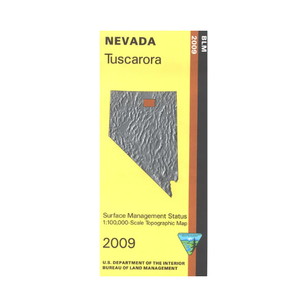
Map: Tuscarora NV - NV163S
BLM Management Status maps color code who owns what in the given quadrant; private, tribal, or public. Roads and waterways and other manmade and natural features are clearly marked. Map includes a large amount of BLM land from Independence Mountains(BLM and national forest) west to Snowstorm Mountains. Fishing and boating at Willow Creek Reservoir southwest of Tuscarora. Use this map for OHV use, and hunting in Units 62, 64, 66, 67, and 68. 2009
Product Information
Product Information
Shipping & Returns
Shipping & Returns
Description
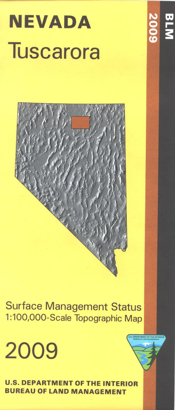
BLM Management Status maps color code who owns what in the given quadrant; private, tribal, or public. Roads and waterways and other manmade and natural features are clearly marked. Map includes a large amount of BLM land from Independence Mountains(BLM and national forest) west to Snowstorm Mountains. Fishing and boating at Willow Creek Reservoir southwest of Tuscarora. Use this map for OHV use, and hunting in Units 62, 64, 66, 67, and 68. 2009