Map: Quinn River Valley NV - NV151S
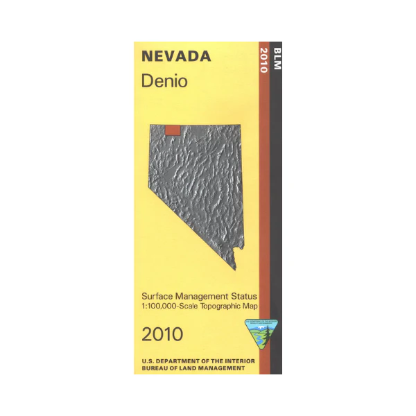
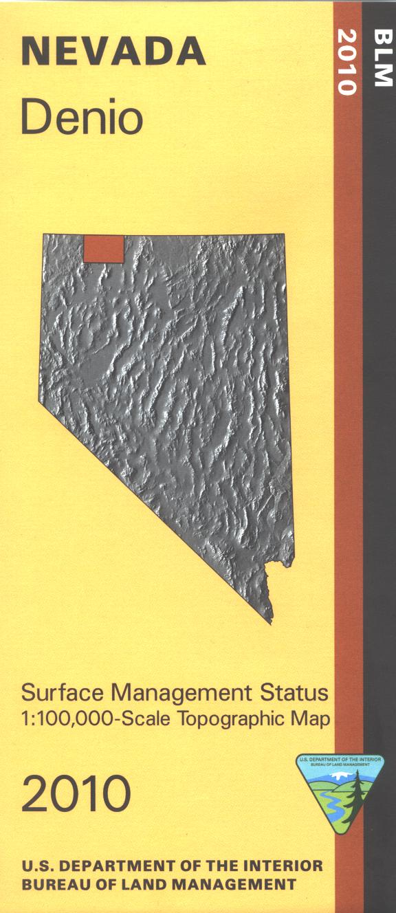
BLM Management Status maps color code who owns what in the given quadrant; private, tribal, or public. Roads, waterways, recreation sites, and other manmade and natural features are clearly marked. From McDermitt travel east and explore the Santa Rosa Range in Humboldt Toiyabe National Forest with camping at Lye Creek. Explore the surrounding BLM lands including Quinn River Valley, Calico Mountains, and Owyhee Desert. Use this map for OHV use, and hunting in NV Units 31 and 51. 2009
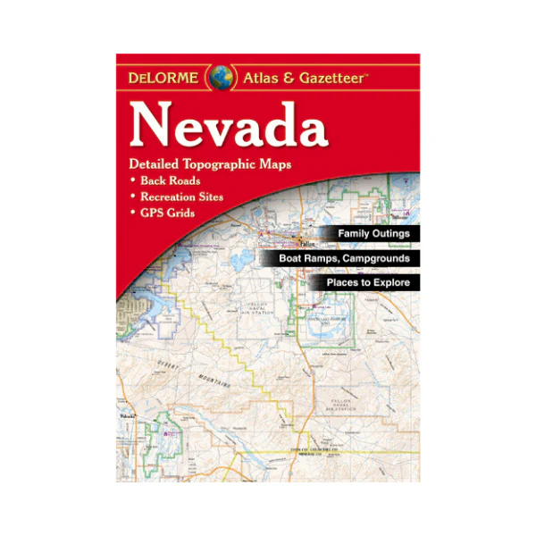
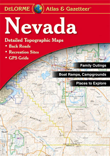
Product Information
Product Information
Shipping & Returns
Shipping & Returns
Description
BLM Management Status maps color code who owns what in the given quadrant; private, tribal, or public. Roads, waterways, recreation sites, and other manmade and natural features are clearly marked. From McDermitt travel east and explore the Santa Rosa Range in Humboldt Toiyabe National Forest with camping at Lye Creek. Explore the surrounding BLM lands including Quinn River Valley, Calico Mountains, and Owyhee Desert. Use this map for OHV use, and hunting in NV Units 31 and 51. 2009