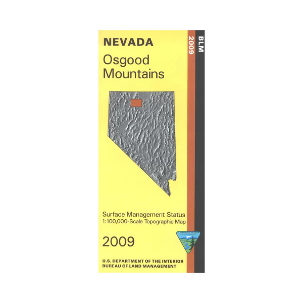
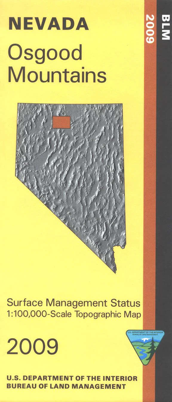
Map: Osgood Mountains NV - NV146S
BLM Management Status maps color code who owns what in the given quadrant; private, tribal, or public. Roads and waterways and other manmade and natural features are clearly marked. A south section of Santa Rosa Paradise Peak Wilderness in Humboldt Toiyabe National Forest is shown along with the Summit Trailhead (hiking,horse riding). Explore the numerous BLM lands north of Winnemuca NV up to Quinn River Valley, and east to Chimney Reservoir on Little Humboldt River. NV Hunting Units 31, 35, 51, 66. 2009
Product Information
Product Information
Shipping & Returns
Shipping & Returns
Description
BLM Management Status maps color code who owns what in the given quadrant; private, tribal, or public. Roads and waterways and other manmade and natural features are clearly marked. A south section of Santa Rosa Paradise Peak Wilderness in Humboldt Toiyabe National Forest is shown along with the Summit Trailhead (hiking,horse riding). Explore the numerous BLM lands north of Winnemuca NV up to Quinn River Valley, and east to Chimney Reservoir on Little Humboldt River. NV Hunting Units 31, 35, 51, 66. 2009