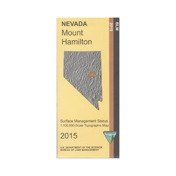
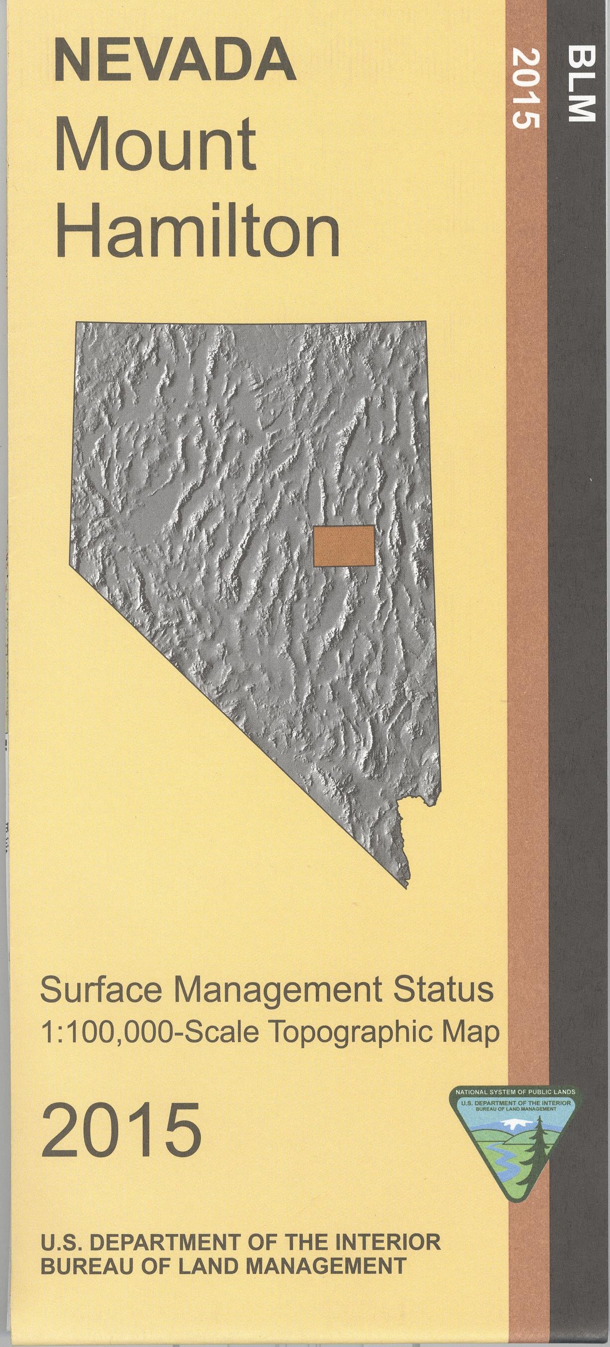
Map: Mount Hamilton NV - NV143S
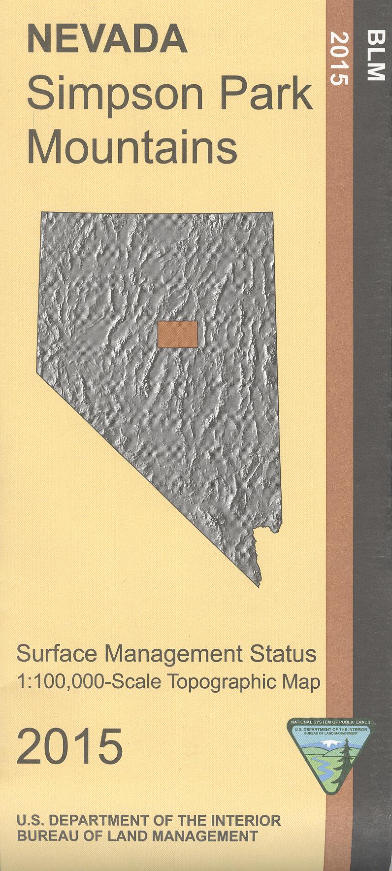
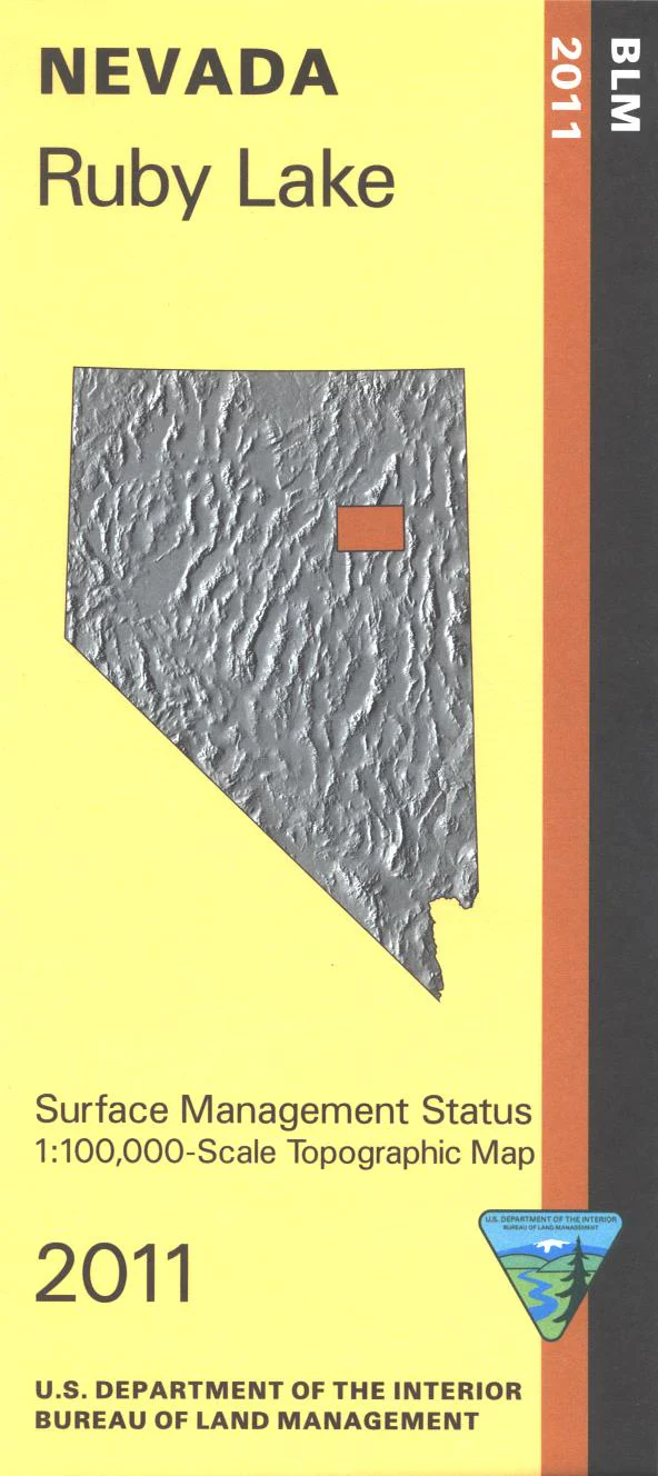
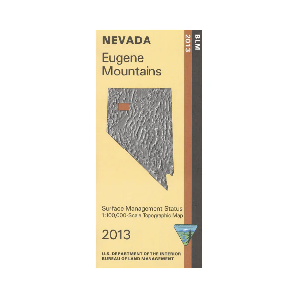
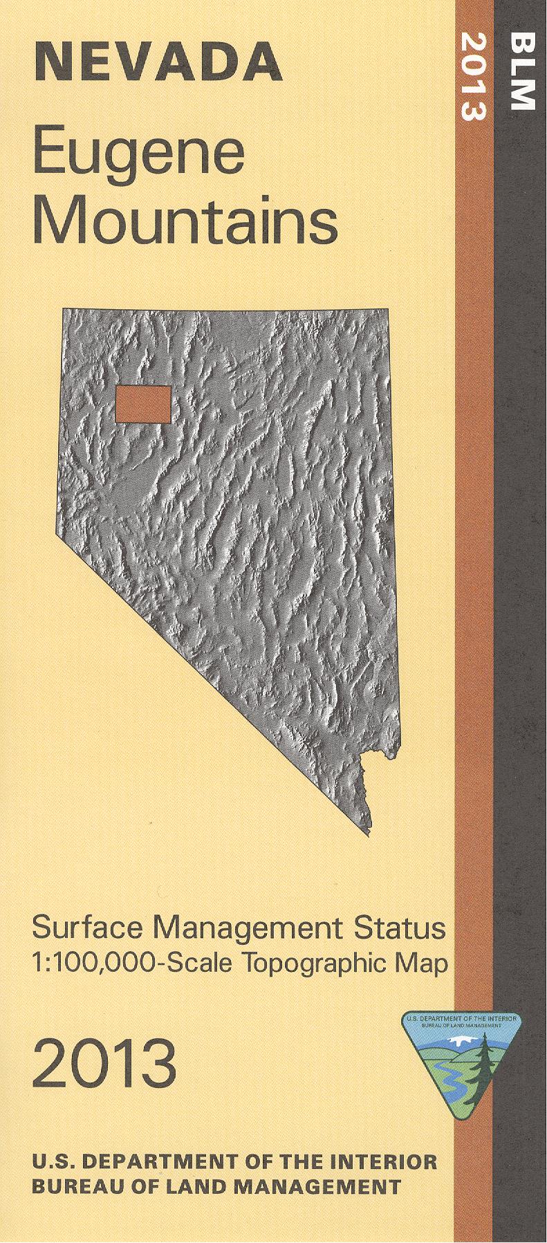
BLM Management Status maps color code who owns what in the given quadrant; private, tribal, or public. Roads, waterways, recreation sites, and other manmade and natural features are clearly marked. Explore the forest roads in the White Pine Range in Humboldt Toiyabe National Forest, with camping at Illipah Reservoir just south of Hwy 50. Explore the large amount of BLM land surrounding the national forest land. Map is useful for OHV use, and NV Hunting Units 104, 144, 145, 108, 131, 164, 221, and 121. 2015
Product Information
Product Information
Shipping & Returns
Shipping & Returns
Description
BLM Management Status maps color code who owns what in the given quadrant; private, tribal, or public. Roads, waterways, recreation sites, and other manmade and natural features are clearly marked. Explore the forest roads in the White Pine Range in Humboldt Toiyabe National Forest, with camping at Illipah Reservoir just south of Hwy 50. Explore the large amount of BLM land surrounding the national forest land. Map is useful for OHV use, and NV Hunting Units 104, 144, 145, 108, 131, 164, 221, and 121. 2015