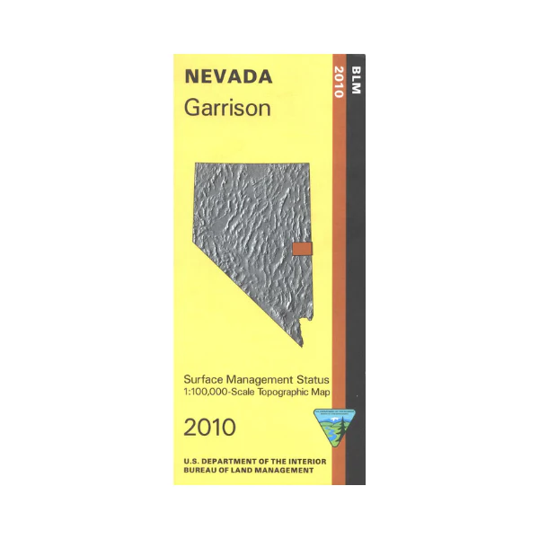
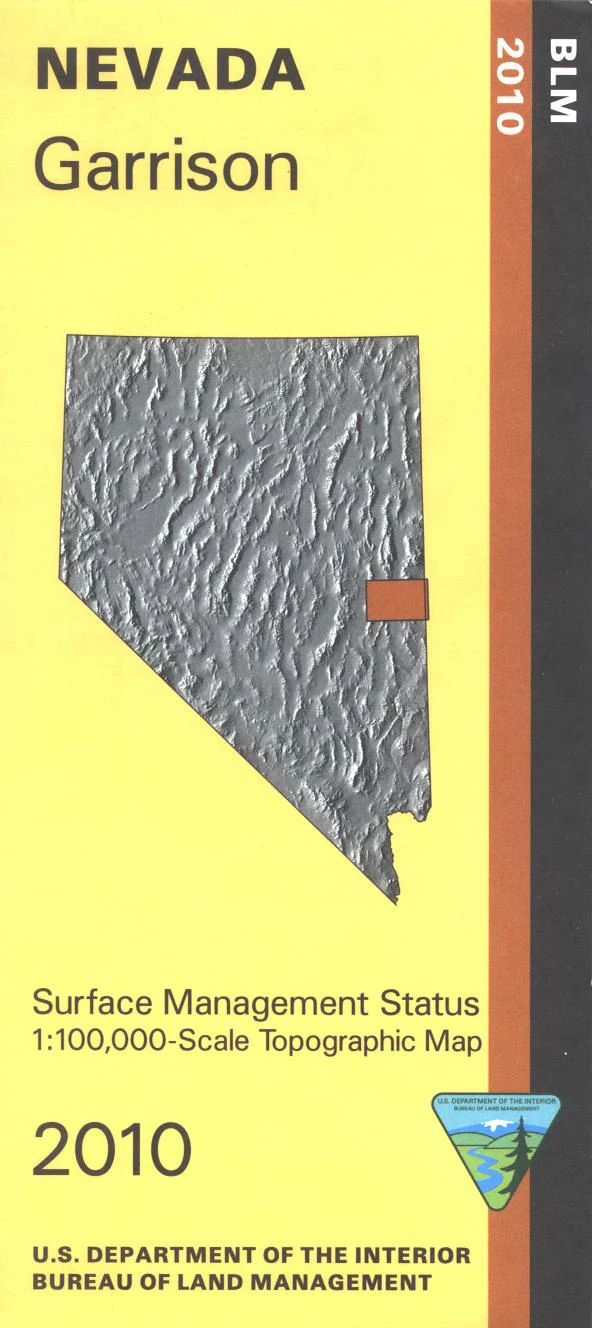
Map: Garrison NV - NV126S
BLM Management Status maps color code who owns what in the given quadrant; private, tribal, or public. Roads, waterways, recreation sites, and other manmade and natural features are clearly marked. Map includes part of the Great Basin National Park, South Egan and Mount Grafton BLM Wildernesses, and Highland Ridge BLM Wilderness. The Silver State Trail/Trailhead(OHV use) are marked. Map is useful for OHV use, and NV Hunting Units 115, 221, 222, 231. 2010
Original: $8.99
-65%$8.99
$3.15Product Information
Product Information
Shipping & Returns
Shipping & Returns
Description
BLM Management Status maps color code who owns what in the given quadrant; private, tribal, or public. Roads, waterways, recreation sites, and other manmade and natural features are clearly marked. Map includes part of the Great Basin National Park, South Egan and Mount Grafton BLM Wildernesses, and Highland Ridge BLM Wilderness. The Silver State Trail/Trailhead(OHV use) are marked. Map is useful for OHV use, and NV Hunting Units 115, 221, 222, 231. 2010