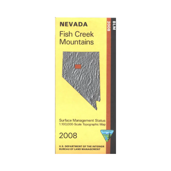
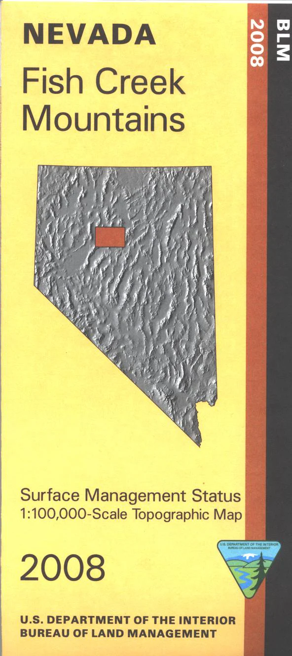
Map: Fish Creek Mountains NV - NV125S
BLM Management Status maps color code who owns what in the given quadrant; private, tribal, or public. Roads, waterways, and other manmade and natural features are clearly marked. Map covers from Hwy 305 west to Buena Vista Valley, and includes Augusta Mountains, Reese River, and Tobin Range. Map is useful for OHV use, and NV Hunting Units 44, 45, 152, and 153. Most of the map is BLM land 2008
Original: $8.99
-65%$8.99
$3.15Product Information
Product Information
Shipping & Returns
Shipping & Returns
Description
BLM Management Status maps color code who owns what in the given quadrant; private, tribal, or public. Roads, waterways, and other manmade and natural features are clearly marked. Map covers from Hwy 305 west to Buena Vista Valley, and includes Augusta Mountains, Reese River, and Tobin Range. Map is useful for OHV use, and NV Hunting Units 44, 45, 152, and 153. Most of the map is BLM land 2008