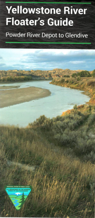
Map: Yellowstone River Guide: Powder River Depot to Glendive
This floater`s guide covers the Yellowstone along the route which William Clark followed from July 20 - 26 1806, on his way home from Oregon. Floaters can use the map for fishing and boating between the towns of Glendive and Terry. The waterproof, tearproof map offers historic information about local tribes and the Lewis and Clark expedition, as well as current information about river access sites, safety and known hazards, GPS coordinates, topographic information, and natural history. Scale 1"=1 mile. 1999.
Product Information
Product Information
Shipping & Returns
Shipping & Returns
Description
This floater`s guide covers the Yellowstone along the route which William Clark followed from July 20 - 26 1806, on his way home from Oregon. Floaters can use the map for fishing and boating between the towns of Glendive and Terry. The waterproof, tearproof map offers historic information about local tribes and the Lewis and Clark expedition, as well as current information about river access sites, safety and known hazards, GPS coordinates, topographic information, and natural history. Scale 1"=1 mile. 1999.


