Salmon: A Wild and Scenic River Map & Guide
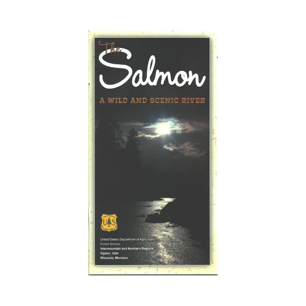
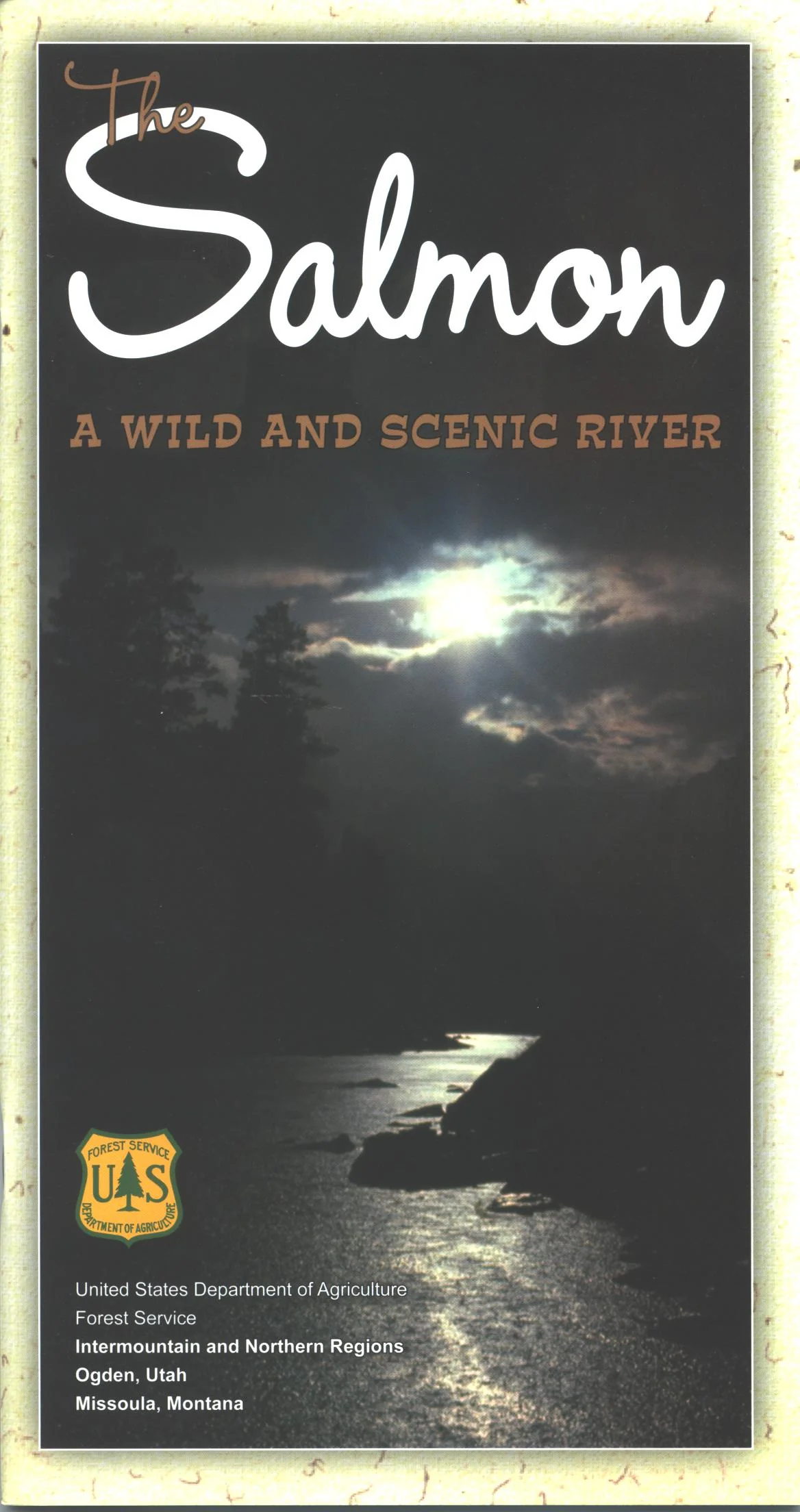
Covers the Salmon River in Idaho only from North Fork to Riggins. With a river like the Salmon, �wild and scenic� does not even begin to do it justice. All 125 miles are covered in this detailed guide for boating, whitewater, kayaking, fishing, hunting and just running the roiling waters of the Salmon. Guide is divided into sections; 46.4 mile "recreational" section, 77.6 mile "wild" section, and 26.8 mile section managed by the BLM which ends at Riggins ID. Appendix includes history of the area, common and threatened species, safety tips, backcountry ethics, and specific regulations. Map pages show boat ramps, camps, points of interest, and rapids. 47 pages on tear-proof, waterproof paper.
Product Information
Product Information
Shipping & Returns
Shipping & Returns
Description
Covers the Salmon River in Idaho only from North Fork to Riggins. With a river like the Salmon, �wild and scenic� does not even begin to do it justice. All 125 miles are covered in this detailed guide for boating, whitewater, kayaking, fishing, hunting and just running the roiling waters of the Salmon. Guide is divided into sections; 46.4 mile "recreational" section, 77.6 mile "wild" section, and 26.8 mile section managed by the BLM which ends at Riggins ID. Appendix includes history of the area, common and threatened species, safety tips, backcountry ethics, and specific regulations. Map pages show boat ramps, camps, points of interest, and rapids. 47 pages on tear-proof, waterproof paper.


