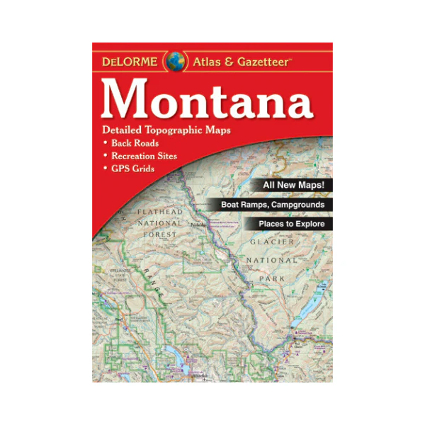
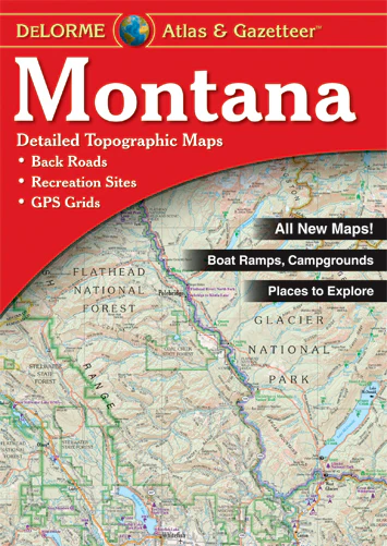
Atlas: Montana Atlas & Gazetteer
Atlas covers roads, topography, recreation sites, cultural facilities, and much more. A great atlas to have when travelling in Montana or through the state. Provides suggestions for finding unique natural features, family outings, and outdoor adventures. Gives listings of RV resorts, campgrounds, and fishing sites. Special features include Glacier National Park map & gazetteer; GPS use, BLM & state lands (color coded); publicly owned lands locater map; shaded relief maps, and some hunting information. Scale is 1:250,000 (1"=4 miles), contour interval is 100 or 200 feet depending on terrain. 2017
Product Information
Product Information
Shipping & Returns
Shipping & Returns
Description
Atlas covers roads, topography, recreation sites, cultural facilities, and much more. A great atlas to have when travelling in Montana or through the state. Provides suggestions for finding unique natural features, family outings, and outdoor adventures. Gives listings of RV resorts, campgrounds, and fishing sites. Special features include Glacier National Park map & gazetteer; GPS use, BLM & state lands (color coded); publicly owned lands locater map; shaded relief maps, and some hunting information. Scale is 1:250,000 (1"=4 miles), contour interval is 100 or 200 feet depending on terrain. 2017


