Montana Antelope Unit 640 Bundle
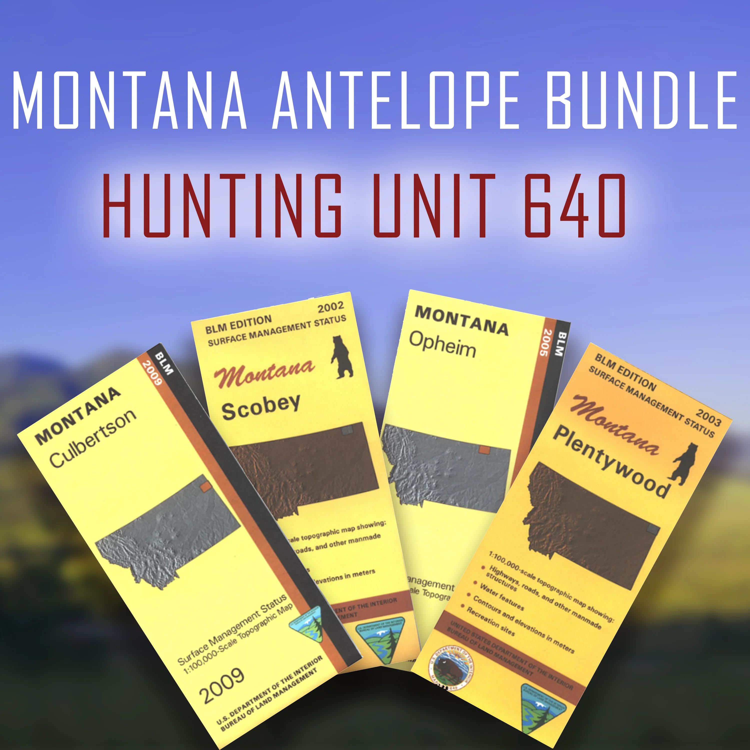
A bundle of the Bureau of Land Management maps that cover Montana's Antelope Unit 640. The hunting unit is spread out throughout these four maps.
Official Bureau of Land Management metric topographic maps @1:100,000 scale (roughly 3/4"`1 mile), color-coded to show surface management, i.e. agency vs. private or tribal ownership. Maps show color coded public and private ownership, roads, water features, points of interest and the township and range lines.
Original: $35.96
-65%$35.96
$12.59Product Information
Product Information
Shipping & Returns
Shipping & Returns
Description
A bundle of the Bureau of Land Management maps that cover Montana's Antelope Unit 640. The hunting unit is spread out throughout these four maps.
Official Bureau of Land Management metric topographic maps @1:100,000 scale (roughly 3/4"`1 mile), color-coded to show surface management, i.e. agency vs. private or tribal ownership. Maps show color coded public and private ownership, roads, water features, points of interest and the township and range lines.