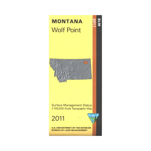
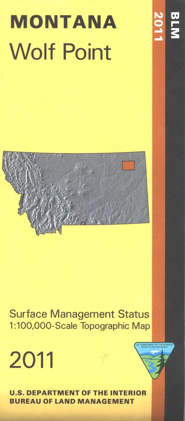
Map: Wolf Point MT - MT1207S
Map shows a section of the Missouri River and mostly Fort Peck Indian Reservation land north of the river. Some small sections of BLM land south of the river are shown. Official Bureau of Land Management metric topographic map
@1:100,000 scale (roughly 3/4"`1 mile), color-coded to show surface
management, i.e. agency vs. private or tribal ownership. Map shows color coded public and private ownership, roads, water features, points of interest, and the township and range lines. Use this map for hunting Deer, Elk, and Mountain Lion in Units 650 and 651. 2011
Original: $8.99
-65%$8.99
$3.15Product Information
Product Information
Shipping & Returns
Shipping & Returns
Description
Map shows a section of the Missouri River and mostly Fort Peck Indian Reservation land north of the river. Some small sections of BLM land south of the river are shown. Official Bureau of Land Management metric topographic map
@1:100,000 scale (roughly 3/4"`1 mile), color-coded to show surface
management, i.e. agency vs. private or tribal ownership. Map shows color coded public and private ownership, roads, water features, points of interest, and the township and range lines. Use this map for hunting Deer, Elk, and Mountain Lion in Units 650 and 651. 2011


