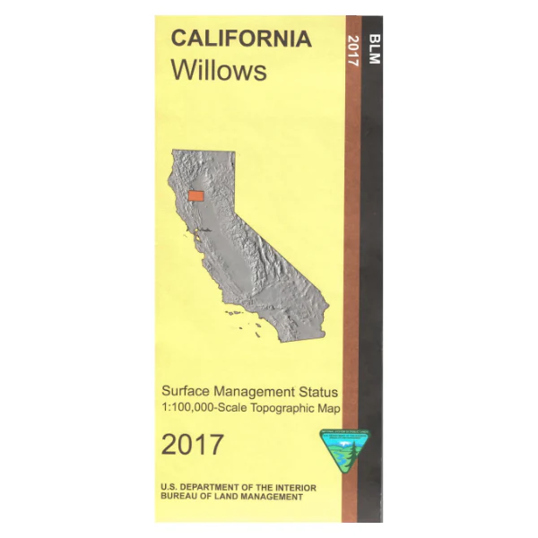
Map: Willows CA - CA555S
Map shows lands from Hamilton City west into an east section of Mendocino National Forest west of Black Butte Lake. From Willows travel northwest to access the forest with opportunities for camping, stream fishing, exploring forest roads, hiking, OHV driving, and wildlife viewing in the forest. East of Corning is the Sacramento River and Woodson Bridge State Recreation Area offering camping, fishing, hiking, picnicking, wildlife viewing, and close by boat ramp access to the river.
Official Bureau of Land Management metric topographic map @1:100,000 scale (roughly 3/4"=1 mile), color-coded to show surface management, i.e. agency vs. private or tribal ownership.
Map shows color-coded public and private ownership, roads, recreation sites, water features, points of interest, and the township and range lines. Maps show trails and developed recreation areas such as campgrounds. Use this map for Deer Hunting in Unit B1, B3, B5, and C4. 2017
Product Information
Product Information
Shipping & Returns
Shipping & Returns
Description
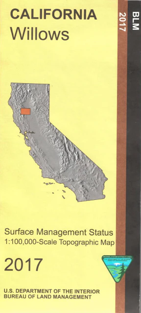
Map shows lands from Hamilton City west into an east section of Mendocino National Forest west of Black Butte Lake. From Willows travel northwest to access the forest with opportunities for camping, stream fishing, exploring forest roads, hiking, OHV driving, and wildlife viewing in the forest. East of Corning is the Sacramento River and Woodson Bridge State Recreation Area offering camping, fishing, hiking, picnicking, wildlife viewing, and close by boat ramp access to the river.
Official Bureau of Land Management metric topographic map @1:100,000 scale (roughly 3/4"=1 mile), color-coded to show surface management, i.e. agency vs. private or tribal ownership.
Map shows color-coded public and private ownership, roads, recreation sites, water features, points of interest, and the township and range lines. Maps show trails and developed recreation areas such as campgrounds. Use this map for Deer Hunting in Unit B1, B3, B5, and C4. 2017


