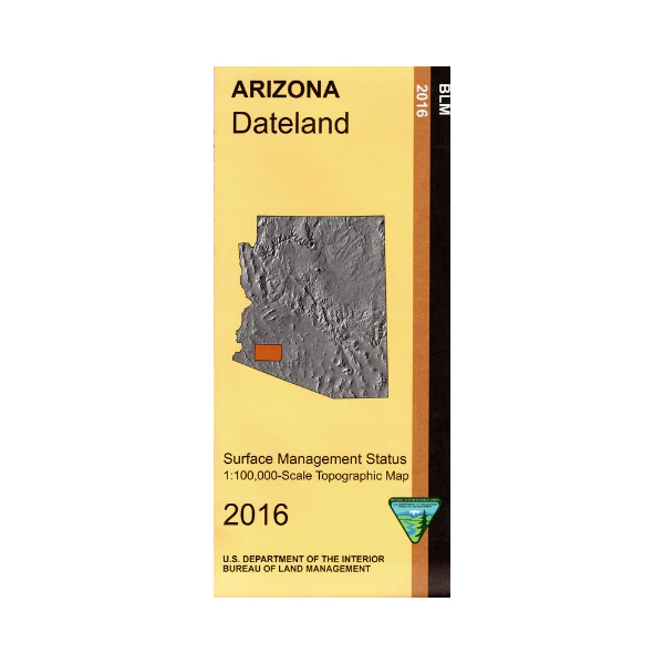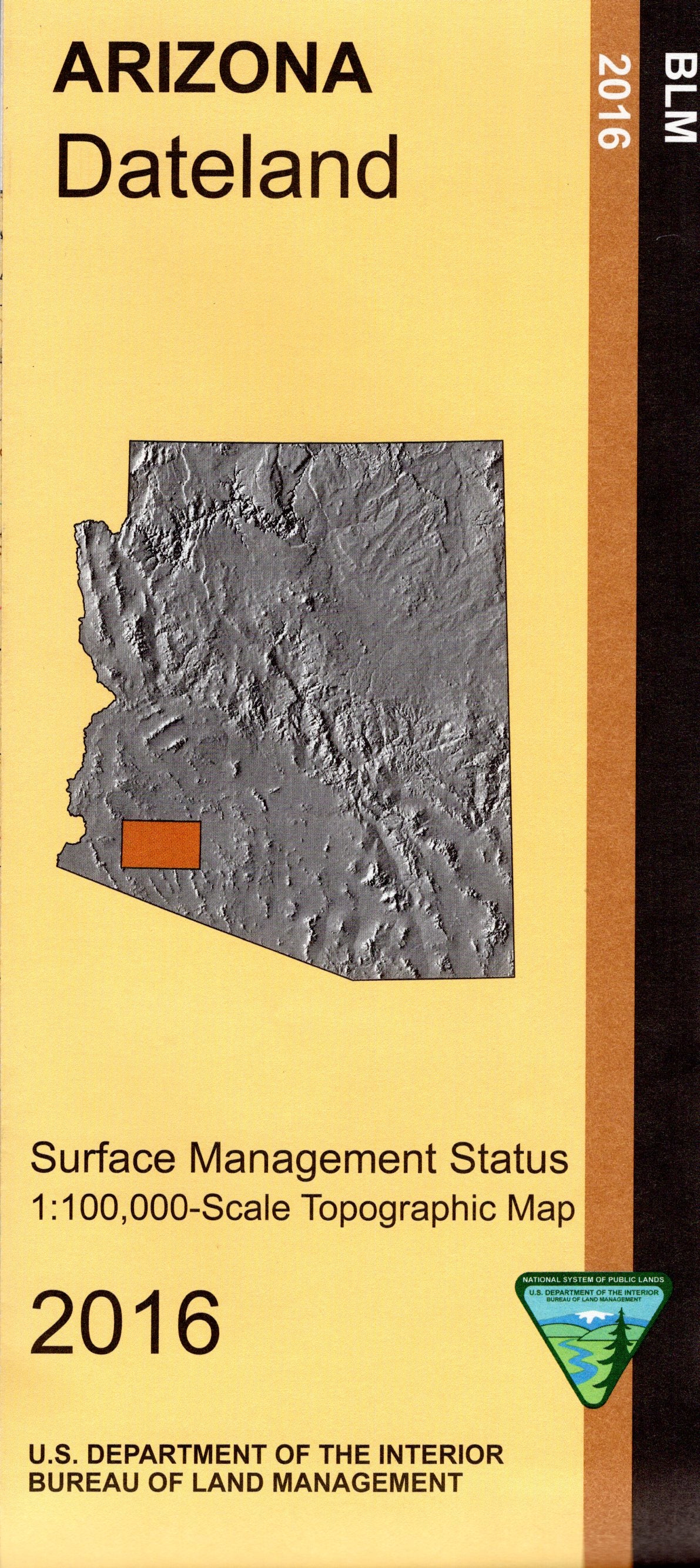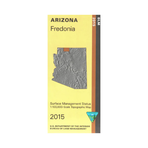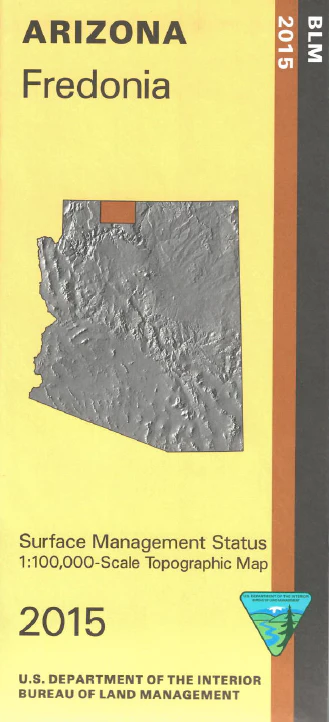
Map: Williams AZ - AZ158S
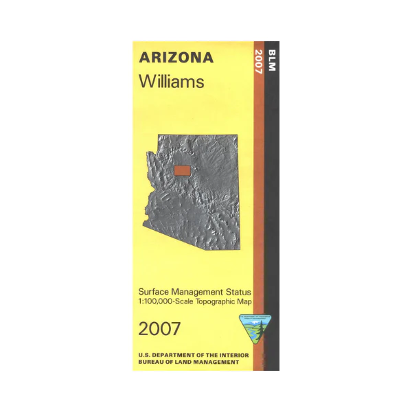
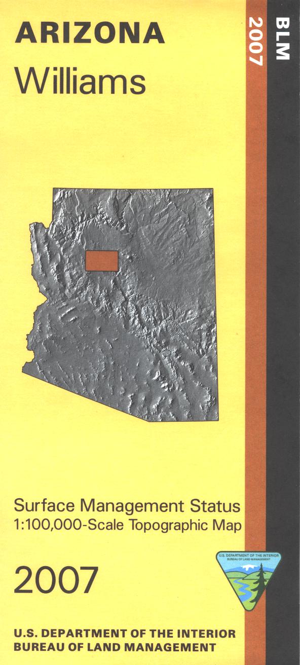
Differentiates between public and private land, and also among the various agencies who manage the public lands. Map shows roads, lakes, campgrounds, some trails, and topographic detail. A good map for hiking, camping, horseback riding, fishing, scenic driving, and OHV use. Williams is the Gateway to the Grand Canyon. Ride the train to the South Rim. Explore the surrounding Kaibab National Forest. Map is useful for AZ Hunting Units 7W, 8, 10, 17A, and 19B. Scale 1:100,000. 2007
Product Information
Product Information
Shipping & Returns
Shipping & Returns
Description
Differentiates between public and private land, and also among the various agencies who manage the public lands. Map shows roads, lakes, campgrounds, some trails, and topographic detail. A good map for hiking, camping, horseback riding, fishing, scenic driving, and OHV use. Williams is the Gateway to the Grand Canyon. Ride the train to the South Rim. Explore the surrounding Kaibab National Forest. Map is useful for AZ Hunting Units 7W, 8, 10, 17A, and 19B. Scale 1:100,000. 2007