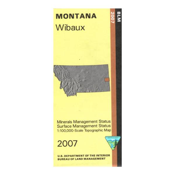
Map: Wibaux MT (MINERAL)- MT1202SM
Map shows lands west and south of Wibaux. Explore the BLM lands west of Wibaux near the Yellowstone River section shown on the map. Official Bureau of Land Management metric topographic map. This is a mineral management map with an additional layer showing below-surface mineral rights.
@1:100,000 scale (roughly 3/4"`1 mile), color-coded to show surface
management, i.e. agency vs. private or tribal. Map shows color coded public and private
ownership, roads, water features, points of interest and the township
and range lines. Use this map for hunting Deer, Elk, and Mountain Lion in Units 703 and 704. 2007
Product Information
Product Information
Shipping & Returns
Shipping & Returns
Description
Map shows lands west and south of Wibaux. Explore the BLM lands west of Wibaux near the Yellowstone River section shown on the map. Official Bureau of Land Management metric topographic map. This is a mineral management map with an additional layer showing below-surface mineral rights.
@1:100,000 scale (roughly 3/4"`1 mile), color-coded to show surface
management, i.e. agency vs. private or tribal. Map shows color coded public and private
ownership, roads, water features, points of interest and the township
and range lines. Use this map for hunting Deer, Elk, and Mountain Lion in Units 703 and 704. 2007


