
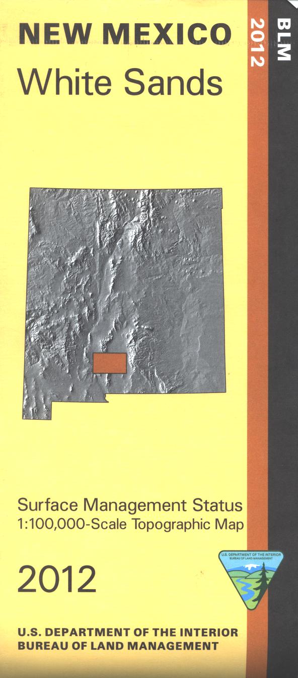
Map: White Sands NM - NM063S
Official Bureau of Land Management topographic maps @1:100,000 metric scale (roughly 3/4" = 1 mile), are color-coded to show federally-managed public lands; plus state, private, or tribal lands, military withdrawals, roads and trails, lakes, rivers and streams, and developed recreation areas. This is a great map to have while stalking oryx and other game in Hunting Units 20, 19, 34, and 21B (or - if you're really lucky - on White Sands Missle Range), wildlife watching, hiking and backpacking in the dunes at White Sands National Monument. OHV riding at Red Sands Off Highway Vehicle Area. Includes roads and lands in Dona Ana, Otero, Sierra Counties. 2012
Product Information
Product Information
Shipping & Returns
Shipping & Returns
Description
Official Bureau of Land Management topographic maps @1:100,000 metric scale (roughly 3/4" = 1 mile), are color-coded to show federally-managed public lands; plus state, private, or tribal lands, military withdrawals, roads and trails, lakes, rivers and streams, and developed recreation areas. This is a great map to have while stalking oryx and other game in Hunting Units 20, 19, 34, and 21B (or - if you're really lucky - on White Sands Missle Range), wildlife watching, hiking and backpacking in the dunes at White Sands National Monument. OHV riding at Red Sands Off Highway Vehicle Area. Includes roads and lands in Dona Ana, Otero, Sierra Counties. 2012


