Map: White River National Forest CO
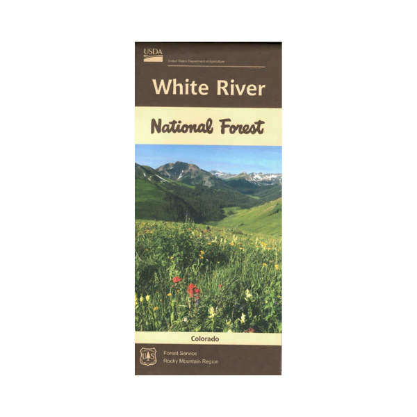
The map covers all of the national forest. The map shows roads, trails, streams, lakes, recreation sites with information, land
ownership, and major points of interest. The map includes the I-70 corridor from Dillon to Rifle. Travelers from Dillon, Copper Mountain, Vail, and Glenwood Springs can easily access the national forest, and the recreation sites. Many opportunities are available for winter skiing, hiking, horseback riding, camping, scenic driving, fishing, and mountain biking. Map is useful for OHV use, and CO Hunting Units 12, 23, 24, 25, 32, 33, 34, 35, 36, 37, 42, 43, 44, 45,47, 231, 371, 444, and 471. The scale is 1/2"= mile. 2019
Original: $19.99
-65%$19.99
$7.00Product Information
Product Information
Shipping & Returns
Shipping & Returns
Description
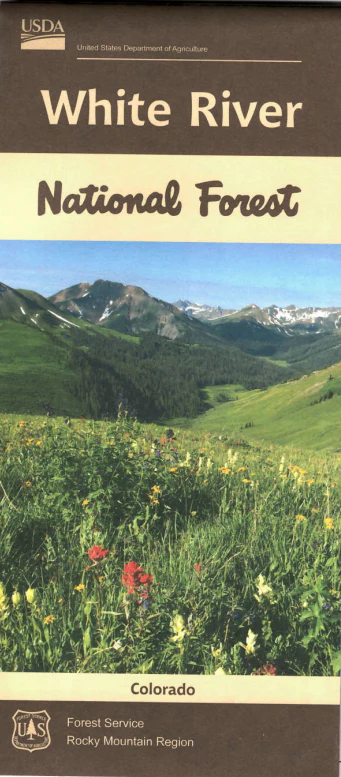
The map covers all of the national forest. The map shows roads, trails, streams, lakes, recreation sites with information, land
ownership, and major points of interest. The map includes the I-70 corridor from Dillon to Rifle. Travelers from Dillon, Copper Mountain, Vail, and Glenwood Springs can easily access the national forest, and the recreation sites. Many opportunities are available for winter skiing, hiking, horseback riding, camping, scenic driving, fishing, and mountain biking. Map is useful for OHV use, and CO Hunting Units 12, 23, 24, 25, 32, 33, 34, 35, 36, 37, 42, 43, 44, 45,47, 231, 371, 444, and 471. The scale is 1/2"= mile. 2019


