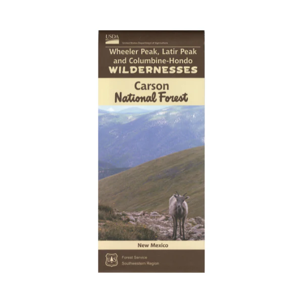
Map: Carson NF, Wheeler Peak-Latir Peak, Columbine/Hondo Wilderness NM
1:24,000 scale topographic map of these popular wilderness area in far northern New Mexico. Includes Columbine-Hondo Wilderness Area, designated in 2014. Trails, trailheads, hydrology; roads campgrounds and picnic areas outside the wilderness.Contour intervals are at 40 feet. Hunting unit 53. Printed on water-proof, tear proof material. 2016
$19.99
Map: Carson NF, Wheeler Peak-Latir Peak, Columbine/Hondo Wilderness NM—
$19.99
Product Information
Product Information
Shipping & Returns
Shipping & Returns
Description
1:24,000 scale topographic map of these popular wilderness area in far northern New Mexico. Includes Columbine-Hondo Wilderness Area, designated in 2014. Trails, trailheads, hydrology; roads campgrounds and picnic areas outside the wilderness.Contour intervals are at 40 feet. Hunting unit 53. Printed on water-proof, tear proof material. 2016


