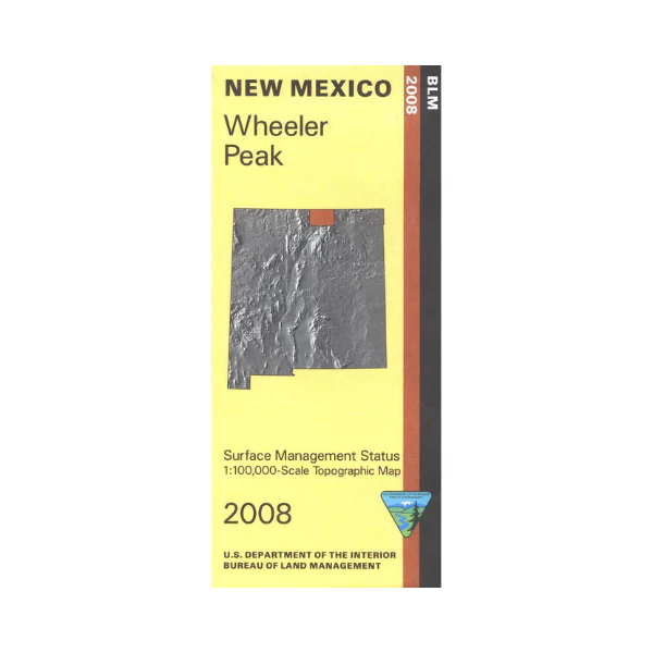
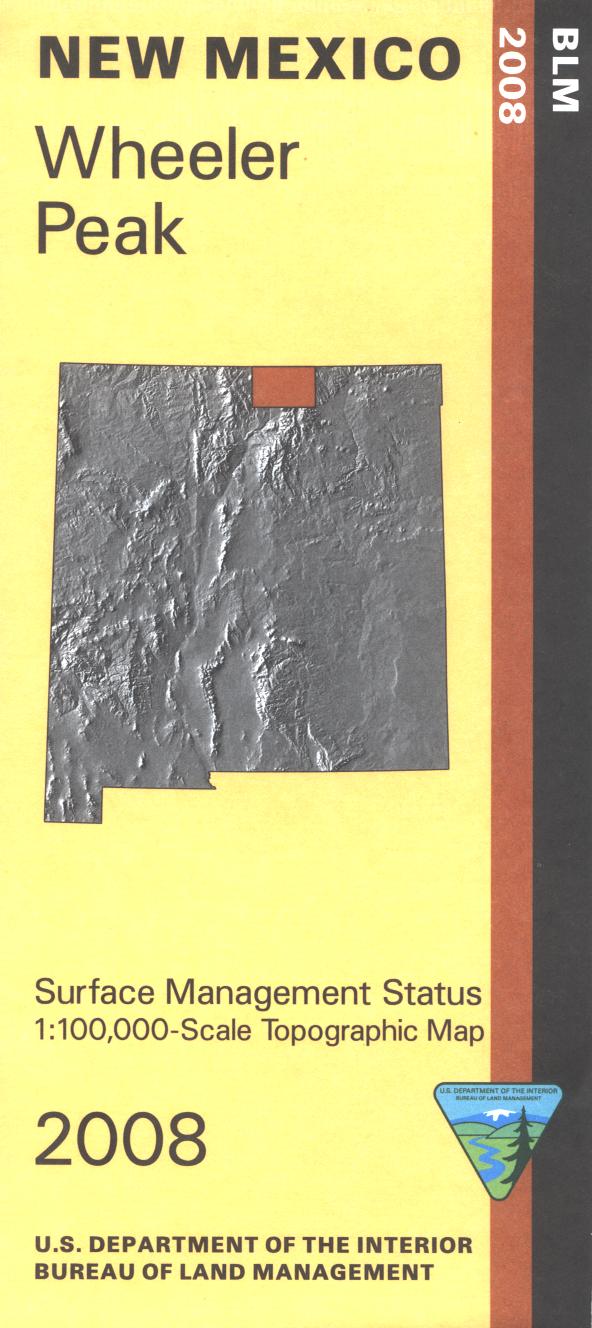
Map: Wheeler Peak NM - NM062S
Official Bureau of Land Management topographic maps @1:100,000 metric scale (roughly 3/4" = 1 mile), are color-coded to show federally-managed public lands; plus state, private, or tribal lands, military withdrawals, roads and trails, lakes, rivers and streams, and developed recreation areas. This is a great map to have while stalking game in Hunting Units 50, 53, 55, and 52, fishing near Red River or in the Rio Grande Gorge, wildlife watching, hiking and backpacking the Valle Vidal, mountain biking, camping, or OHV and ATV riding. Scenic driving the Enchanted Circle Scenic Byway, hiking the trails up to Wheeler Peak, fishing at Eagle Nest Lake, and skiing at Red River. Includes roads and lands in Rio Arriba, Taos, Colfax Counties, the Rio Grande del Norte National Monument, part of the Philmont Scout Ranch, and a lot of Carson National Forest. 2015
Original: $8.99
-65%$8.99
$3.15Product Information
Product Information
Shipping & Returns
Shipping & Returns
Description
Official Bureau of Land Management topographic maps @1:100,000 metric scale (roughly 3/4" = 1 mile), are color-coded to show federally-managed public lands; plus state, private, or tribal lands, military withdrawals, roads and trails, lakes, rivers and streams, and developed recreation areas. This is a great map to have while stalking game in Hunting Units 50, 53, 55, and 52, fishing near Red River or in the Rio Grande Gorge, wildlife watching, hiking and backpacking the Valle Vidal, mountain biking, camping, or OHV and ATV riding. Scenic driving the Enchanted Circle Scenic Byway, hiking the trails up to Wheeler Peak, fishing at Eagle Nest Lake, and skiing at Red River. Includes roads and lands in Rio Arriba, Taos, Colfax Counties, the Rio Grande del Norte National Monument, part of the Philmont Scout Ranch, and a lot of Carson National Forest. 2015


