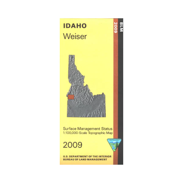
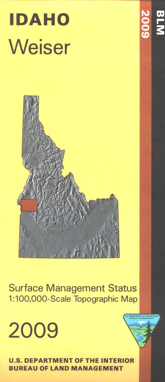
Map: Weiser ID - ID1072S
Map covers BLM lands, sections of Boise National Forest including Sage Hen Reservoir, and North Fork Range State Land all east of Weiser. Scenic driving on Payette River Scenic Byway; camping, fishing, wading, and oar boating on the Payette River. Explore BLM lands near Paddock Valley Reservoir and Willow Ridge. Official Bureau of Land Management metric topographic map @1:100,000 scale (roughly 3/4"`1 mile), color-coded to show Surface Management/ownership. Map shows roads, forest roads, BLM roads, waterways, recreation sites, and points of interest. Map is useful for OHV use, and ID Hunting Units 24, 31, 32, 32A, and 33. 2009
Original: $8.99
-65%$8.99
$3.15Product Information
Product Information
Shipping & Returns
Shipping & Returns
Description
Map covers BLM lands, sections of Boise National Forest including Sage Hen Reservoir, and North Fork Range State Land all east of Weiser. Scenic driving on Payette River Scenic Byway; camping, fishing, wading, and oar boating on the Payette River. Explore BLM lands near Paddock Valley Reservoir and Willow Ridge. Official Bureau of Land Management metric topographic map @1:100,000 scale (roughly 3/4"`1 mile), color-coded to show Surface Management/ownership. Map shows roads, forest roads, BLM roads, waterways, recreation sites, and points of interest. Map is useful for OHV use, and ID Hunting Units 24, 31, 32, 32A, and 33. 2009


