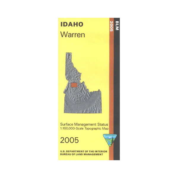
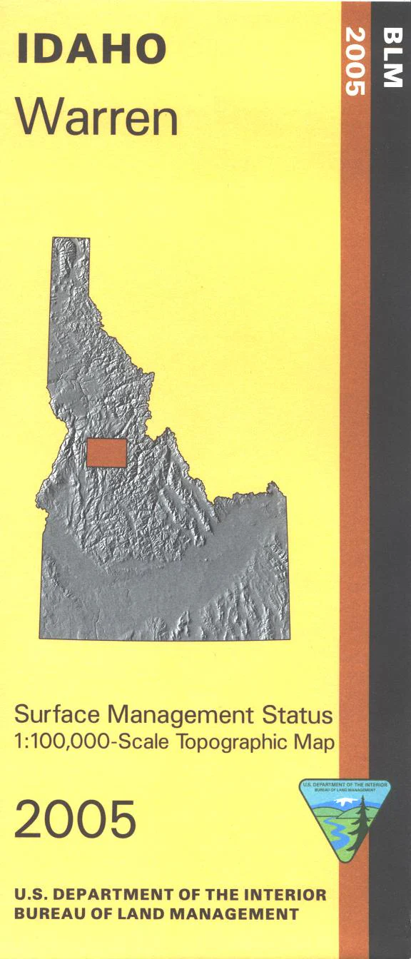
Map: Warren ID - ID1071S
Map covers part of Frank Church River of No Return Wilderness, part of Payette National Forest including Salmon River Mountains, a small section of Gospel Hump Wilderness, and a section of the Salmon Wild and Scenic River with Mackay Bar Campground for whitewater recreationists. At Chinook campground access multi- use trail for hiking, horseback riding, mountain biking, and dirt biking. Official Bureau of Land Management metric topographic map @1:100,000 scale (roughly 3/4"`1 mile), color-coded to show Surface Management/ownership. Map shows roads, forest roads, waterways, recreation sites, and points of interest. Map is useful for OHV use, and ID Hunting Units 19, 19A, 20A, 20, 25, and 26. 2005
Product Information
Product Information
Shipping & Returns
Shipping & Returns
Description
Map covers part of Frank Church River of No Return Wilderness, part of Payette National Forest including Salmon River Mountains, a small section of Gospel Hump Wilderness, and a section of the Salmon Wild and Scenic River with Mackay Bar Campground for whitewater recreationists. At Chinook campground access multi- use trail for hiking, horseback riding, mountain biking, and dirt biking. Official Bureau of Land Management metric topographic map @1:100,000 scale (roughly 3/4"`1 mile), color-coded to show Surface Management/ownership. Map shows roads, forest roads, waterways, recreation sites, and points of interest. Map is useful for OHV use, and ID Hunting Units 19, 19A, 20A, 20, 25, and 26. 2005


