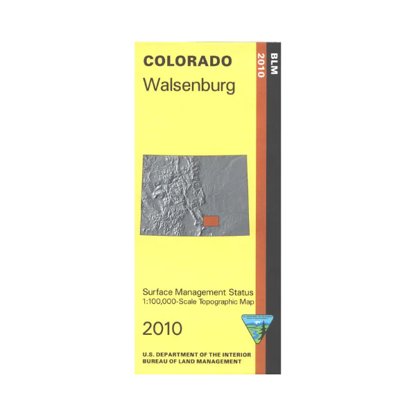
Map: Walsenburg CO - CO155S
The BLM quadrant maps are scaled at 1:100,000, and cover an area of about 30 x 50 miles. Drive the Frontier Pathways Scenic Byway and visit portions of the Santa Fe Trail. Camping, fishing, and boating at Lathrop State Park. Map is useful for OHV use, and Colorado Hunting Units 84, 85, 128, 133, 134, and 135. Ownership status is denoted by color, and roads, lakes, streams, and other topographical features are marked on these maps. 2010
Product Information
Product Information
Shipping & Returns
Shipping & Returns
Description
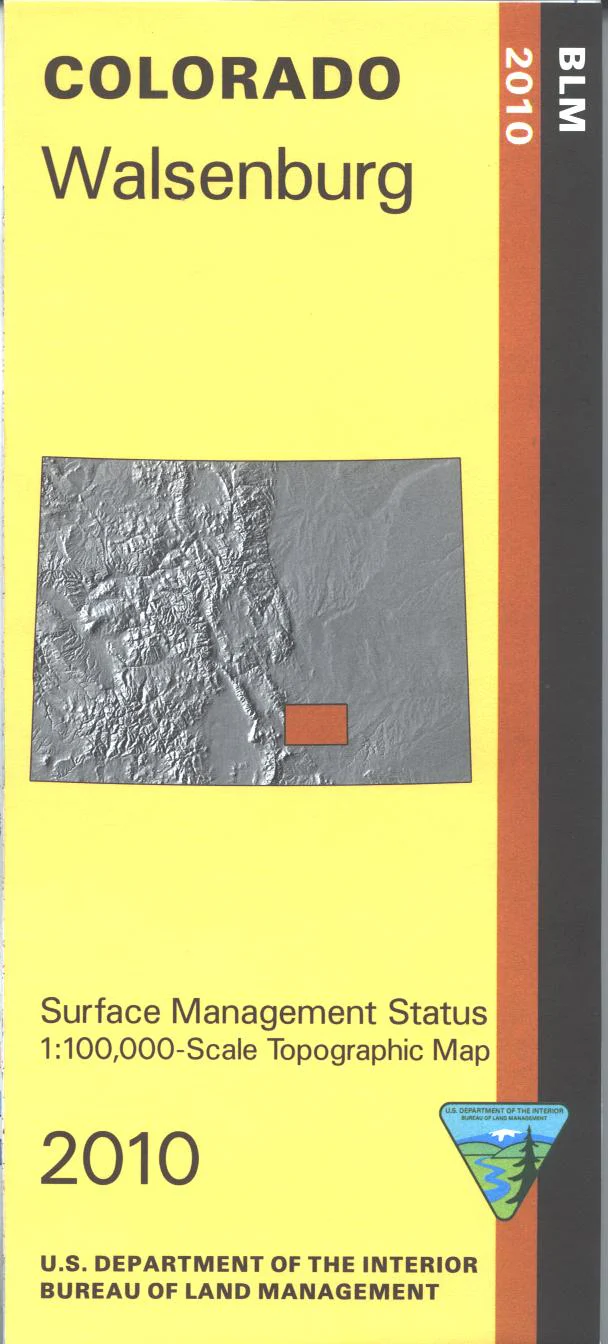
The BLM quadrant maps are scaled at 1:100,000, and cover an area of about 30 x 50 miles. Drive the Frontier Pathways Scenic Byway and visit portions of the Santa Fe Trail. Camping, fishing, and boating at Lathrop State Park. Map is useful for OHV use, and Colorado Hunting Units 84, 85, 128, 133, 134, and 135. Ownership status is denoted by color, and roads, lakes, streams, and other topographical features are marked on these maps. 2010


