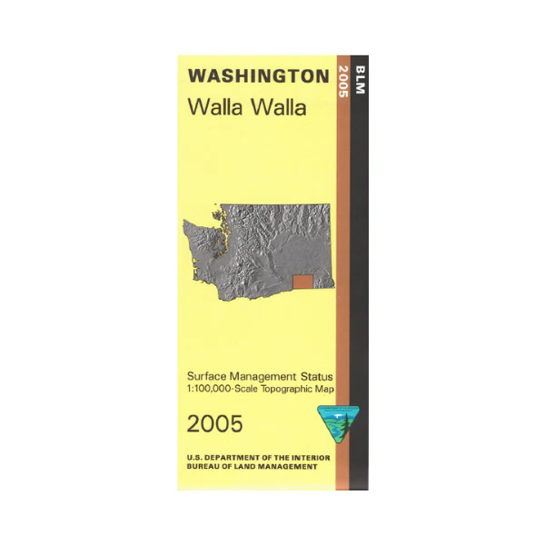
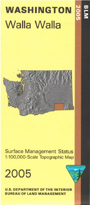
Map: Walla Walla WA - WA046S
Map shows part of Lake Wallula/Columbia River near Wallula WA, the Snake River/Lake Sacajewea north to Pasco/Fish Lake Trail, and Walla Walla northeast to Lewis and Clark State Park(camping). East of Walla Walla is Mill Creek Recreation Trailhead and Mill Creek State Wildlife Area with picnicking and hiking trails. Boat ramps, picnic sites, campgrounds and trailheads along the Snake River are marked. Camping, fishing, and boating at Lake Wallula. This Bureau of Land Management map shows color-coded federal, state, and private lands, roads, water features, recreation sites, points of interest, place names, county boundaries, and township and range lines. Use this map for hunting in Units 149, 154, and 381. Scale is 1:100,000, roughly 3/4 inch to 1 mile. 2005
Product Information
Product Information
Shipping & Returns
Shipping & Returns
Description
Map shows part of Lake Wallula/Columbia River near Wallula WA, the Snake River/Lake Sacajewea north to Pasco/Fish Lake Trail, and Walla Walla northeast to Lewis and Clark State Park(camping). East of Walla Walla is Mill Creek Recreation Trailhead and Mill Creek State Wildlife Area with picnicking and hiking trails. Boat ramps, picnic sites, campgrounds and trailheads along the Snake River are marked. Camping, fishing, and boating at Lake Wallula. This Bureau of Land Management map shows color-coded federal, state, and private lands, roads, water features, recreation sites, points of interest, place names, county boundaries, and township and range lines. Use this map for hunting in Units 149, 154, and 381. Scale is 1:100,000, roughly 3/4 inch to 1 mile. 2005


