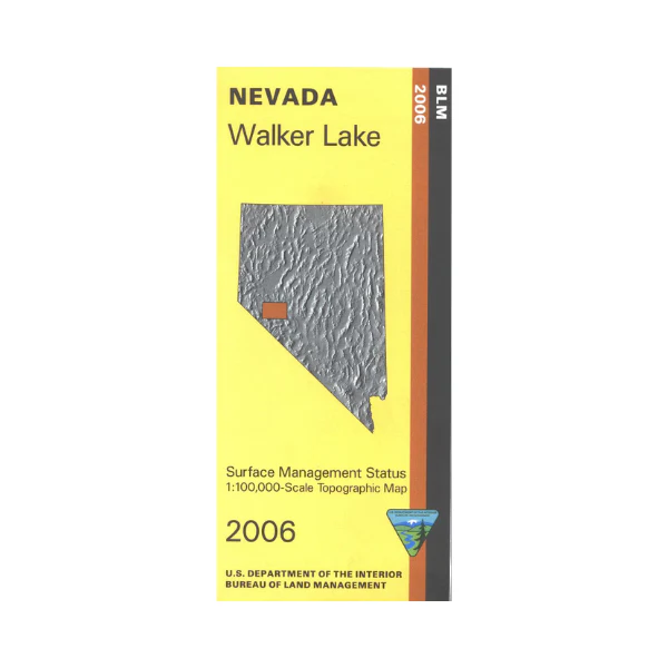
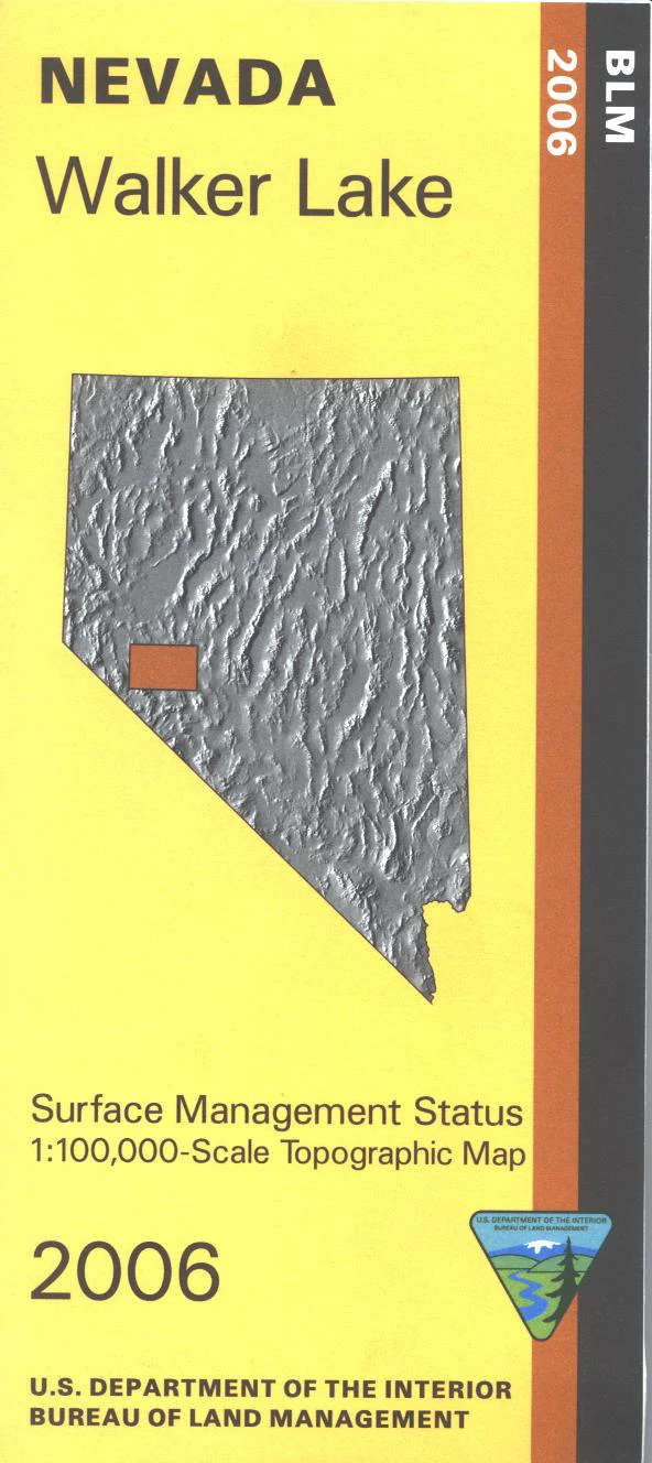
Map: Walker Lake NV - NV165S
BLM Management Status maps color code who owns what in the given quadrant; private, tribal, or public. Roads, waterways, recreation sites, and other manmade and natural features are clearly marked. Camping, fishing, boating, swimming, and hiking at Walker Lake. Explore the BLM lands including Wassuk Range, Gillis Range, Gabbs Range, and Gabbs Valley. Use this map for OHV use and hunting in NV Unit, 202, 205, 206, and 207. 2006
Product Information
Product Information
Shipping & Returns
Shipping & Returns
Description
BLM Management Status maps color code who owns what in the given quadrant; private, tribal, or public. Roads, waterways, recreation sites, and other manmade and natural features are clearly marked. Camping, fishing, boating, swimming, and hiking at Walker Lake. Explore the BLM lands including Wassuk Range, Gillis Range, Gabbs Range, and Gabbs Valley. Use this map for OHV use and hunting in NV Unit, 202, 205, 206, and 207. 2006


