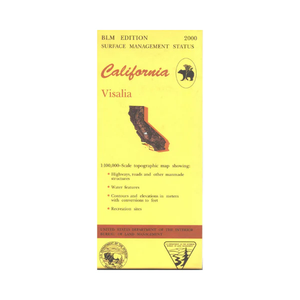
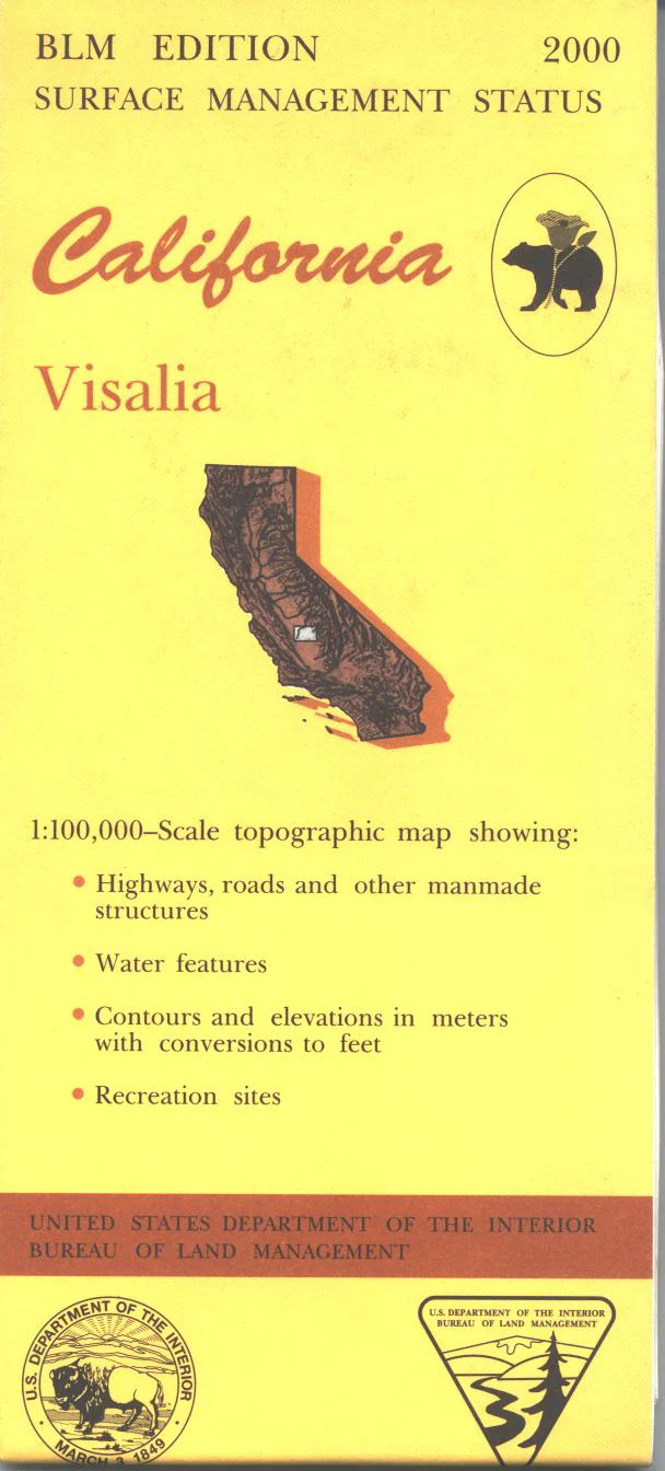
Map: Visalia CA - CA550S
Map shows west of Porterville with all private lands, and a section of military land west of Hanford. Official Bureau of Land Management metric topographic map @1:100,000 scale (roughly 3/4"=1 mile), color-coded to show surface management, i.e. agency vs. private or tribal ownership. Map shows roads, water features, points of interest and the township and range lines. Use this map for Deer Hunting in Units A South 110 and D8. 2000
Original: $8.99
-65%$8.99
$3.15Product Information
Product Information
Shipping & Returns
Shipping & Returns
Description
Map shows west of Porterville with all private lands, and a section of military land west of Hanford. Official Bureau of Land Management metric topographic map @1:100,000 scale (roughly 3/4"=1 mile), color-coded to show surface management, i.e. agency vs. private or tribal ownership. Map shows roads, water features, points of interest and the township and range lines. Use this map for Deer Hunting in Units A South 110 and D8. 2000


