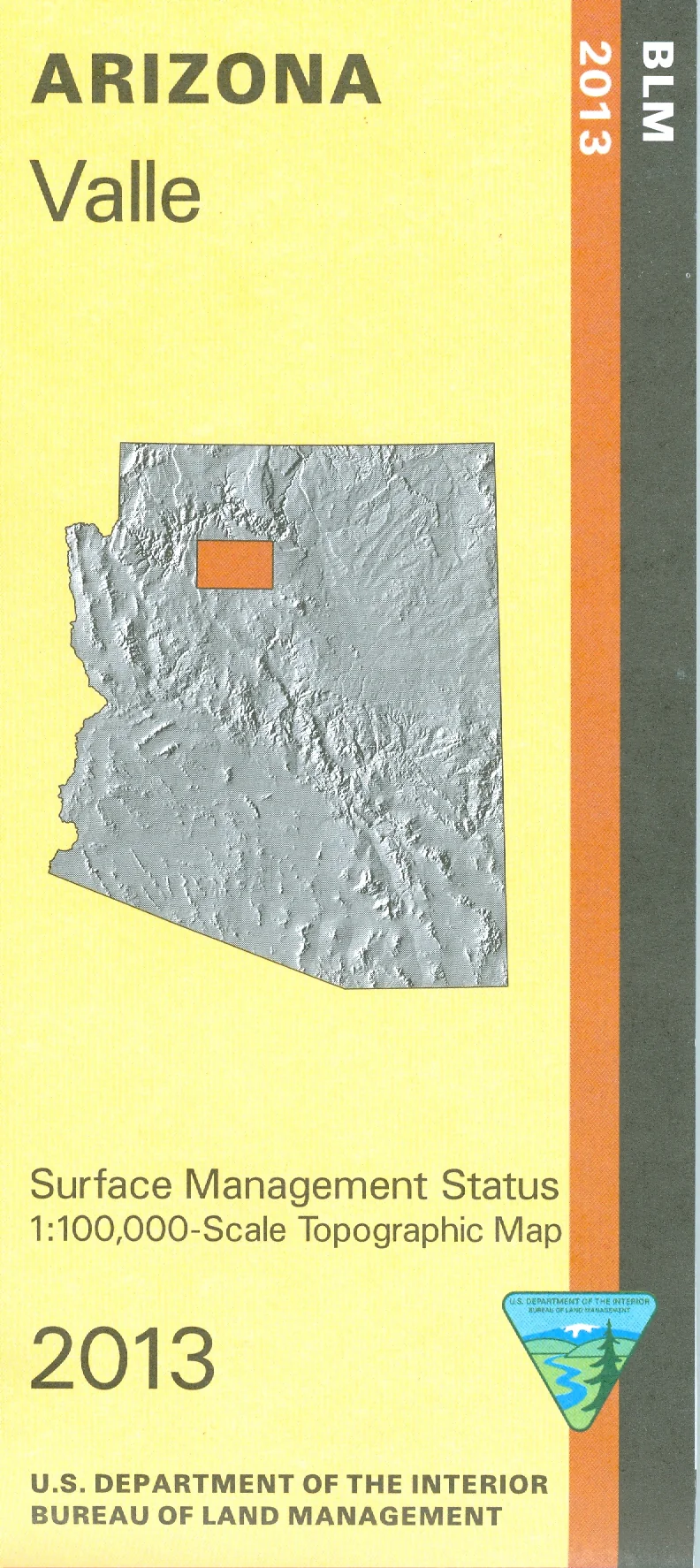
Map: Valle AZ - AZ156S
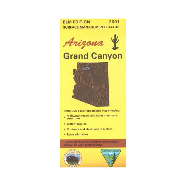
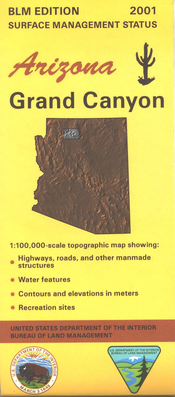
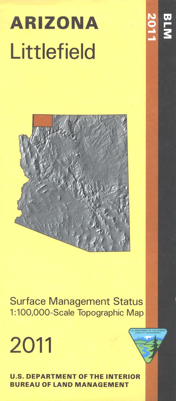
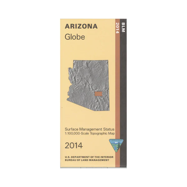
Differentiates between public and private land, and also among the various agencies who manage the public lands. Map shows small sections of western Kaibab National Forest, and a large amount of state land. Shows campgrounds, roads, and topographic detail. Camping, hiking, fishing, scenic driving, and OHV use are possible. Map is useful for AZ Hunting Units 7W, 9, and 10. Scale 1:100,000. 2013
Product Information
Product Information
Shipping & Returns
Shipping & Returns
Description
Differentiates between public and private land, and also among the various agencies who manage the public lands. Map shows small sections of western Kaibab National Forest, and a large amount of state land. Shows campgrounds, roads, and topographic detail. Camping, hiking, fishing, scenic driving, and OHV use are possible. Map is useful for AZ Hunting Units 7W, 9, and 10. Scale 1:100,000. 2013