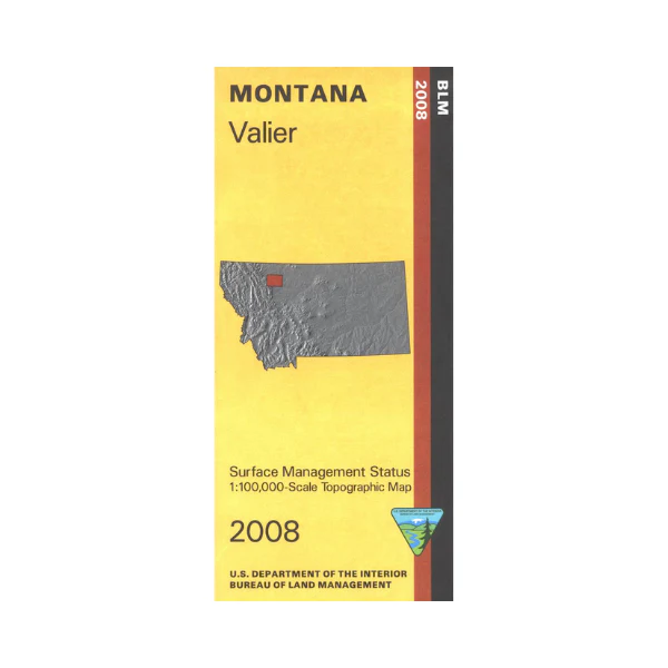
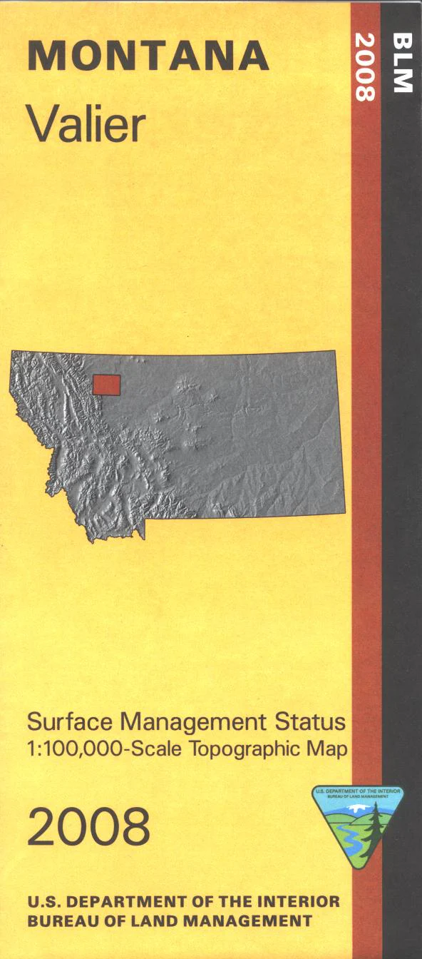
Map: Valier MT - MT1189S
Map shows part of Blackfeet Indian Reservation west of Valier, and a section of Lewis and Clark National Forest/Bob Marshall Wilderness south of the reservation. Official Bureau of Land Management metric topographic map @1:100,000 scale (roughly 3/4"`1 mile), color-coded to show surface management, i.e. agency vs. private or tribal ownership. Map shows color coded public and private ownership, roads, water features, points of interest, and the township and range lines. Use this map for hunting Deer, Elk, and Mountain Lion in Units 404, 406, 415, and 441; and for hunting Moose in Units 441. 2008
Product Information
Product Information
Shipping & Returns
Shipping & Returns
Description
Map shows part of Blackfeet Indian Reservation west of Valier, and a section of Lewis and Clark National Forest/Bob Marshall Wilderness south of the reservation. Official Bureau of Land Management metric topographic map @1:100,000 scale (roughly 3/4"`1 mile), color-coded to show surface management, i.e. agency vs. private or tribal ownership. Map shows color coded public and private ownership, roads, water features, points of interest, and the township and range lines. Use this map for hunting Deer, Elk, and Mountain Lion in Units 404, 406, 415, and 441; and for hunting Moose in Units 441. 2008


