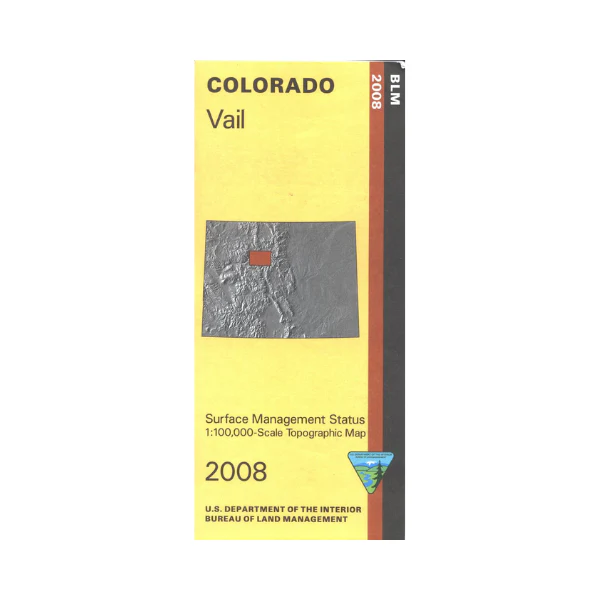
Map: Vail CO - CO153S
The BLM quadrant maps are scaled at 1:100,000, and cover an area of about 30 x 50 miles.Excellent recreational opportunities present themselves in the White River National Forest, the Arapaho National Forest, and the Eagle Nest Wilderness and Holy Cross Wilderness. Activities include camping, hiking, backpacking, fishing, and horseback riding. The area includes extensive BLM lands with a campground at Catamount Recreation Area on the Colorado River. Scenic driving on I-70 with camping at Dillon Reservoir, and on Hwy 9 with camping at Green Mountain Reservoir. Map is useful for OHV use, and Colorado Hunting Units 15, 25, 26, 28, 35, 36, 361, 37, 44, 45 and 371. Ownership status is denoted by color, and roads, lakes, streams, and other topographical features are marked on these maps. 2008
Original: $8.99
-65%$8.99
$3.15Product Information
Product Information
Shipping & Returns
Shipping & Returns
Description
The BLM quadrant maps are scaled at 1:100,000, and cover an area of about 30 x 50 miles.Excellent recreational opportunities present themselves in the White River National Forest, the Arapaho National Forest, and the Eagle Nest Wilderness and Holy Cross Wilderness. Activities include camping, hiking, backpacking, fishing, and horseback riding. The area includes extensive BLM lands with a campground at Catamount Recreation Area on the Colorado River. Scenic driving on I-70 with camping at Dillon Reservoir, and on Hwy 9 with camping at Green Mountain Reservoir. Map is useful for OHV use, and Colorado Hunting Units 15, 25, 26, 28, 35, 36, 361, 37, 44, 45 and 371. Ownership status is denoted by color, and roads, lakes, streams, and other topographical features are marked on these maps. 2008


