Map: Upper Klamath Basin OR - PNWRMS - 2024
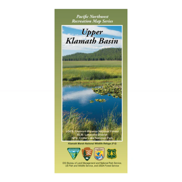
From Klamath Falls heading north, east, or west explore the forests and BLM lands shown on the map. Boating, fishing, and wildlife viewing at Upper Klamath Lake or Gerber Reservoir, wildlife viewing at Klamath Marsh National Wildlife Refuge, scenic driving to Crater Lake National Park and Diamond Lake with camping, fishing, boating, and hiking opportunities. Covers the Klamath Basin from the Deschutes Forest south of La Pine and Eugene, then south to the California border. Includes parts of the Winema and Fremont National Forests, all of Crater Lake National Park, Klamath Marsh National Wildlife Refuge, Upper Klamath Lake, Mount Thielsen Wilderness, Sky Lakes Wilderness and Mountain Lakes Wilderness. In addition to roads, water features, township and range lines, and color-coded surface management ownership, this map highlights recreational opportunities such as camping, picnicking, fishing, hiking, and scenic viewing from overlooks for all public lands, regardless of agency. Scale is 1:126,720. Synthetic paper. Map is useful for OR Hunting Units 22, 30, 31, 32, 33, and 77. 2024
Original: $19.99
-65%$19.99
$7.00Product Information
Product Information
Shipping & Returns
Shipping & Returns
Description
From Klamath Falls heading north, east, or west explore the forests and BLM lands shown on the map. Boating, fishing, and wildlife viewing at Upper Klamath Lake or Gerber Reservoir, wildlife viewing at Klamath Marsh National Wildlife Refuge, scenic driving to Crater Lake National Park and Diamond Lake with camping, fishing, boating, and hiking opportunities. Covers the Klamath Basin from the Deschutes Forest south of La Pine and Eugene, then south to the California border. Includes parts of the Winema and Fremont National Forests, all of Crater Lake National Park, Klamath Marsh National Wildlife Refuge, Upper Klamath Lake, Mount Thielsen Wilderness, Sky Lakes Wilderness and Mountain Lakes Wilderness. In addition to roads, water features, township and range lines, and color-coded surface management ownership, this map highlights recreational opportunities such as camping, picnicking, fishing, hiking, and scenic viewing from overlooks for all public lands, regardless of agency. Scale is 1:126,720. Synthetic paper. Map is useful for OR Hunting Units 22, 30, 31, 32, 33, and 77. 2024


