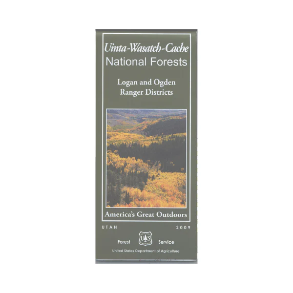
Map: Uinta-Wasatch-Cache NF UT: Logan Ogden
From Ogden travel east to Pineview Reservoir for camping, fishing, boating, hiking, mountain biking, and OHV(motorcycle) trail. Explore the Wasatch Range between Brigham City and Layton enjoying the scenic views. From Logan travel east on the Logan Canyon National Scenic Byway and Backway for a wonderful loop scenic drive with numerous recreation opportunities along the way, including camping, hiking, and mountain biking. Covers Logan and Ogden Ranger Districts. National Forest map depicts all features, including corrals, campgrounds, picnic areas, other recreation sites, points of interest, topographic contour lines, trails, roads, water features. Use map for hunting in Cache North, Cache South, Ogden, and Morgan-South Rich units. Scale is 1:126,000. Waterproof, tear proof, synthetic map. 2009.
Original: $19.99
-65%$19.99
$7.00Product Information
Product Information
Shipping & Returns
Shipping & Returns
Description
From Ogden travel east to Pineview Reservoir for camping, fishing, boating, hiking, mountain biking, and OHV(motorcycle) trail. Explore the Wasatch Range between Brigham City and Layton enjoying the scenic views. From Logan travel east on the Logan Canyon National Scenic Byway and Backway for a wonderful loop scenic drive with numerous recreation opportunities along the way, including camping, hiking, and mountain biking. Covers Logan and Ogden Ranger Districts. National Forest map depicts all features, including corrals, campgrounds, picnic areas, other recreation sites, points of interest, topographic contour lines, trails, roads, water features. Use map for hunting in Cache North, Cache South, Ogden, and Morgan-South Rich units. Scale is 1:126,000. Waterproof, tear proof, synthetic map. 2009.


