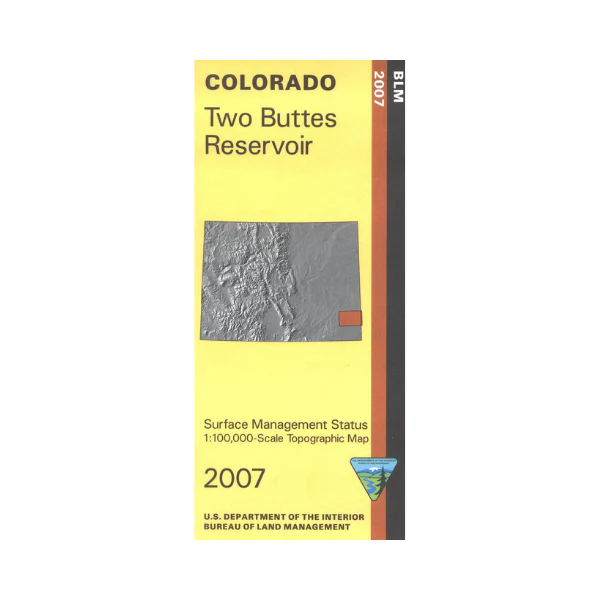
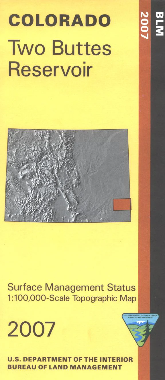
Map: Two Buttes Reservoir CO (MINERAL) - CO152SM
The BLM quadrant maps are scaled at 1:100,000, and cover an area of about 30 x 50 miles. Ownership status is denoted by color, and roads, lakes, streams, and other topographical features are marked on these maps. Camping, fishing, boating, hiking, wildlife viewing, and rock climbing at Two Buttes State Wildlife Area. Use this map for hunting in Units 132, 137, 138, and 146. Most of the map is private lands with some scattered state lands. This map features an additional mineral management layer for below-surface mineral rights.
Original: $8.99
-65%$8.99
$3.15Product Information
Product Information
Shipping & Returns
Shipping & Returns
Description
The BLM quadrant maps are scaled at 1:100,000, and cover an area of about 30 x 50 miles. Ownership status is denoted by color, and roads, lakes, streams, and other topographical features are marked on these maps. Camping, fishing, boating, hiking, wildlife viewing, and rock climbing at Two Buttes State Wildlife Area. Use this map for hunting in Units 132, 137, 138, and 146. Most of the map is private lands with some scattered state lands. This map features an additional mineral management layer for below-surface mineral rights.


