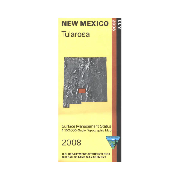
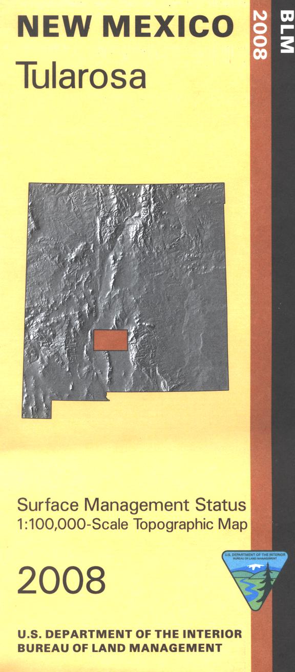
Map: Tularosa NM (Surface) - NM058S
Official Bureau of Land Management topographic maps @1:100,000 metric scale (roughly 3/4" = 1 mile), are color-coded to show federally-managed public lands; plus state, private, or tribal lands, military withdrawals, roads and trails, lakes, rivers and streams, and developed recreation areas.
This is a great map to have while stalking game in Hunting Units 19, 20, and 36 or (if you're really lucky on White Sands Missile Range), wildlife watching, hiking, backpacking, mountain biking, camping, or OHV and ATV riding. Includes roads and lands in Sierra, Otero, Dona Ana, Lincoln Counties. 2008
Original: $8.99
-65%$8.99
$3.15Product Information
Product Information
Shipping & Returns
Shipping & Returns
Description
Official Bureau of Land Management topographic maps @1:100,000 metric scale (roughly 3/4" = 1 mile), are color-coded to show federally-managed public lands; plus state, private, or tribal lands, military withdrawals, roads and trails, lakes, rivers and streams, and developed recreation areas.
This is a great map to have while stalking game in Hunting Units 19, 20, and 36 or (if you're really lucky on White Sands Missile Range), wildlife watching, hiking, backpacking, mountain biking, camping, or OHV and ATV riding. Includes roads and lands in Sierra, Otero, Dona Ana, Lincoln Counties. 2008


